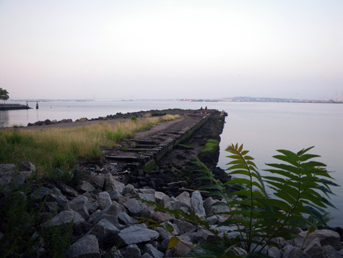
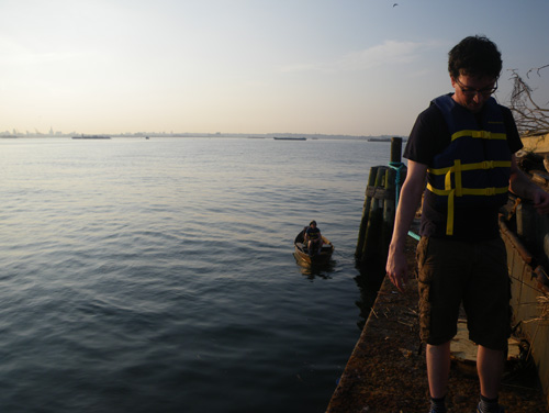
Matt, Robin, and I arrived at Liberty State Park just after sunrise,
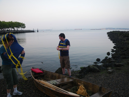
for a trip that I have been wanting to take since 2007.
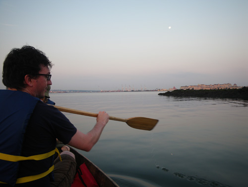
To reach our destination, almost a mile out across the bay in the open water,
we would need perfect cooperation from the wind and tide.
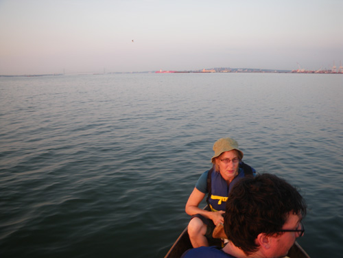
“So far so good.” I thought
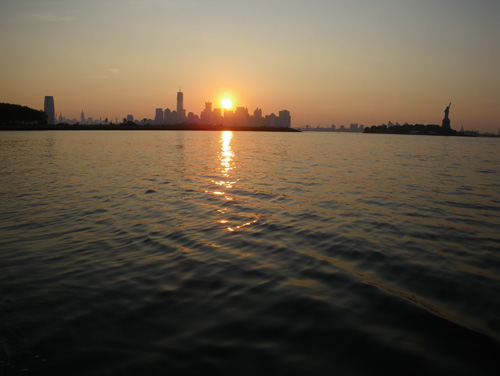
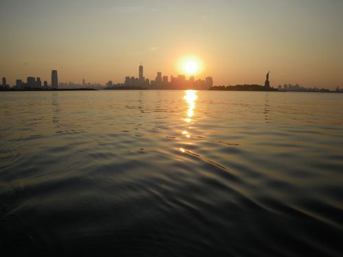
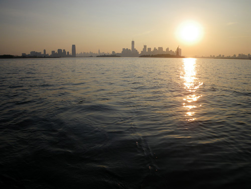
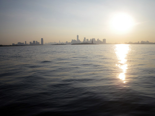
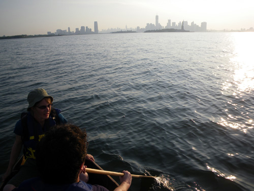
as the sun rose over New York City.
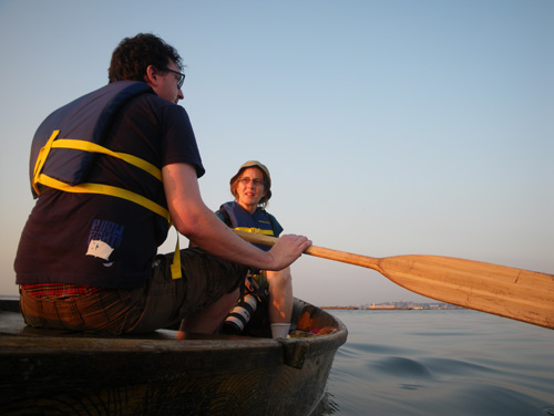
Our destination: The Port Liberty Flotsam Barges,
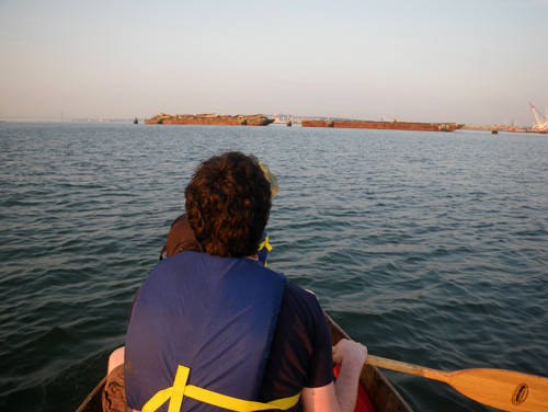
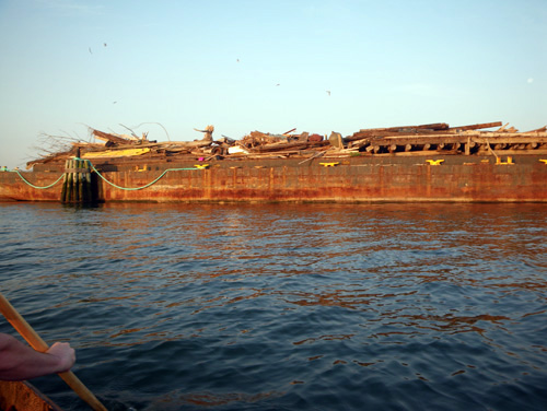
two massive floats where the Army Corps of Engineers pile all the wreckage that they drag out of the harbor.
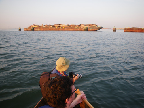
It is a kind of pergatory for nautical waste,
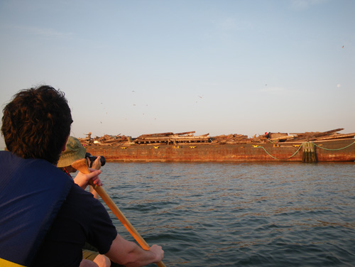
My friend Peter told me about it in 2007, and I have always wanted to see it up close,
but the wind and tide make it tricky in my open boat.
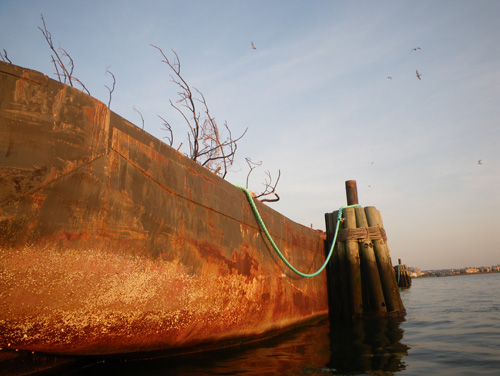
Common Terns circled the barges, crying out in alarm as we approached.
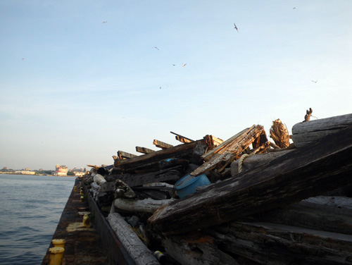
Up top we could see a massive tangle of whole trees, buoys and docks.
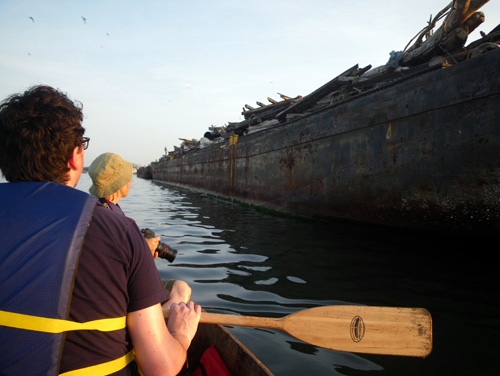
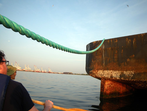
We paddled into the shadow of the giant shapes,
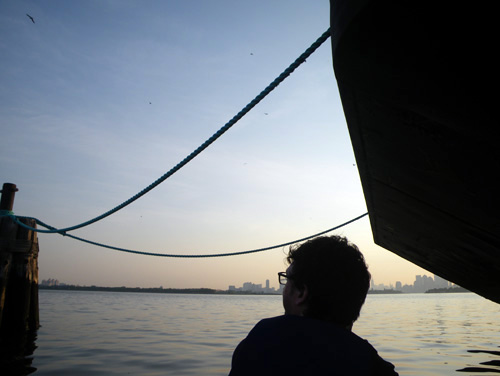
and Matt scanned the sides for a place to climb aboard.
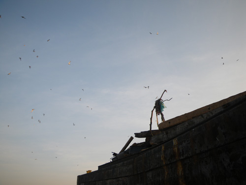
The Terns called out overhead.
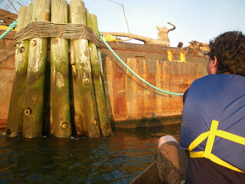
I think I could climb up those, said Matt.
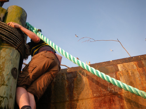
“Don’t get in between the mooring and the barge,” I said.
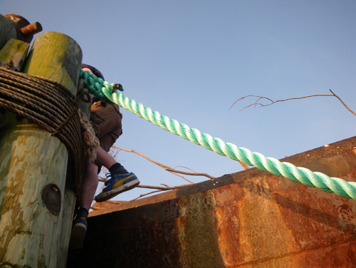
“It’s moving.”
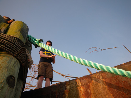
I climbed up after Matt to explore the flotsam,
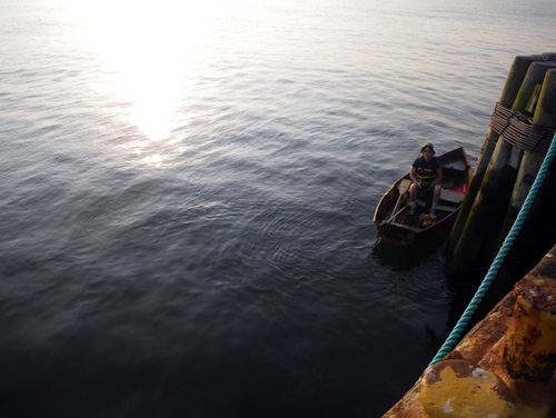
while Robin took control of the boat.
The deck of the barge was covered in all manner of floatable crap;
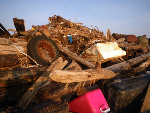
a glorious jumble of tires, coolers, foam, and trees,
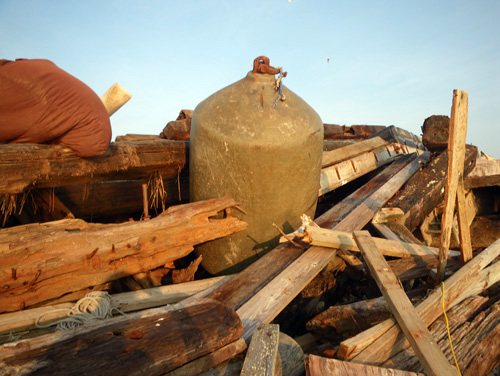
even what looked like a bean-bag over there on the left.
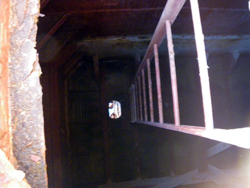
The barge itself was more complex than we figured from the water, with a hatch leading into a deep chamber.
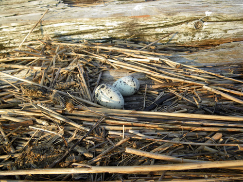
Just then, I noticed something tucked into a pile of debris,
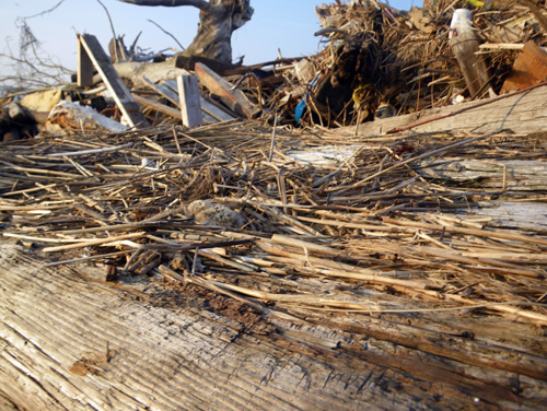
and my stomach dropped as I realized we were a few feet from a tiny chick.
Suddenly I heard the sounds of the Terns circling above, not just as busy chatter,
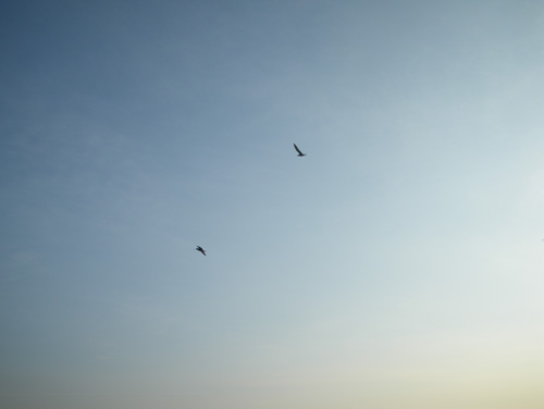
but as the anguished cries of parents separated from their young.
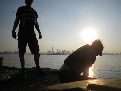
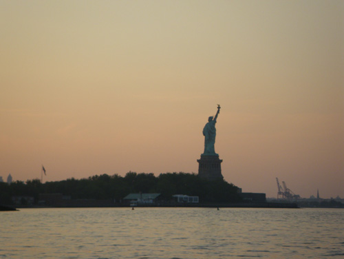
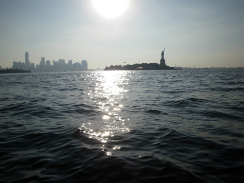
We went to the other end of the barge to take a picture I was thinking about all morning:
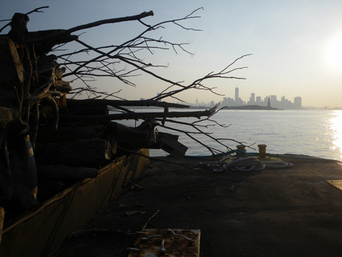
the Flotsam Barge with the statue of Liberty behind it, and NYC behind that.
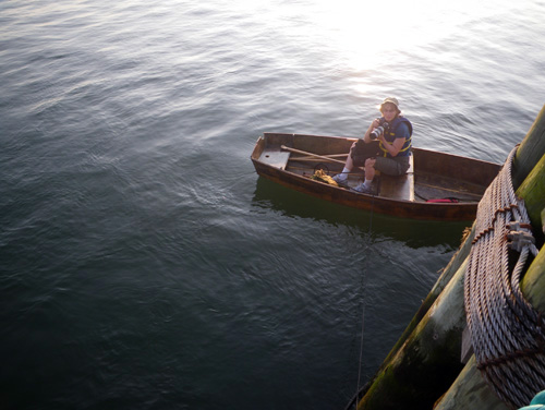
Then we jumped back in the boat,
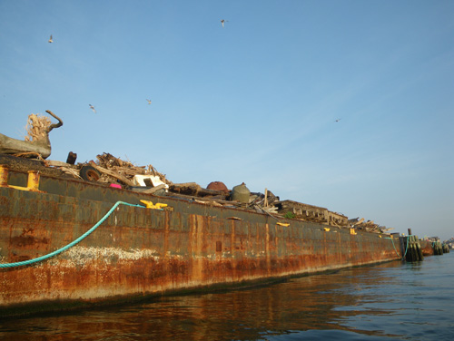
and paddled off under a shower of diving Terns.
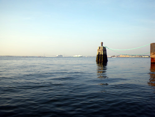
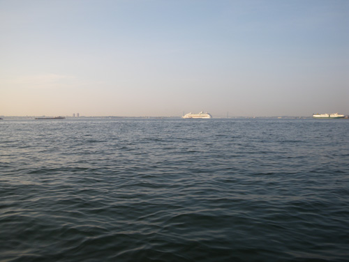
While we were out, the traffic had picked up in the harbor.
Robin told Matt about an application for his phone,
that shows you every boat in the harbor and where it’s going.
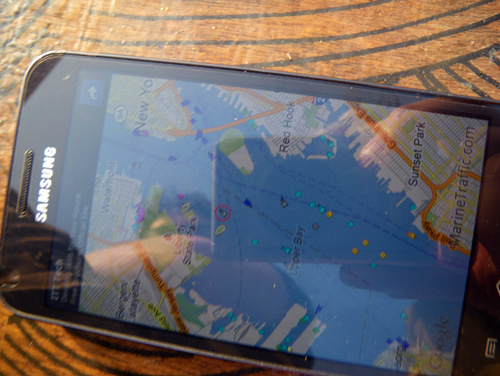
“I have to warn you,” said Robin,
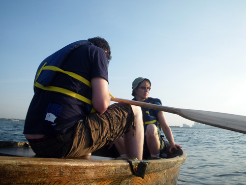
“It’s kind of addictive.”
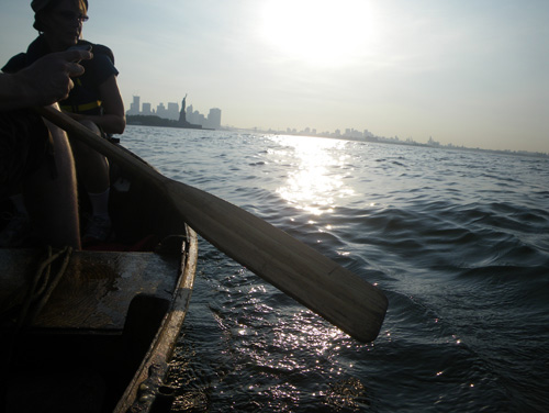
The wind had picked up too,
and although the tide was going our way, we struggled keep the boat moving toward home.
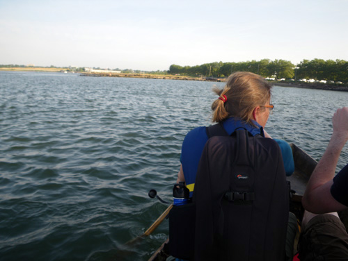
It took all three of us rowing hard,
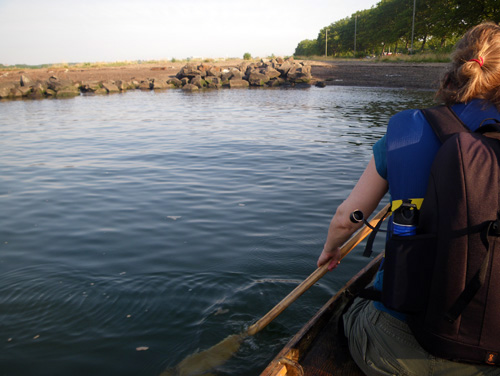
to arrive in our little bay.
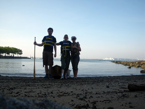
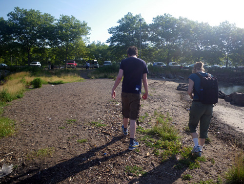
Back on shore we walked through the park,
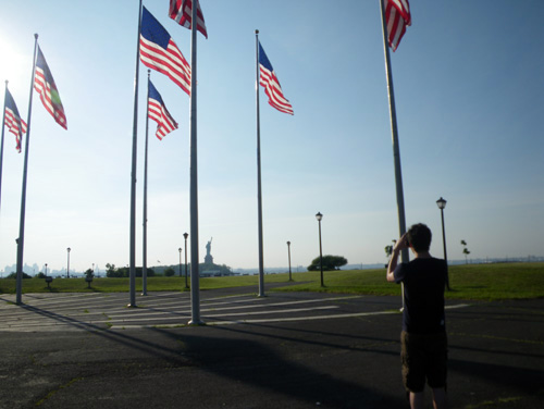
while Robin took some pictures.
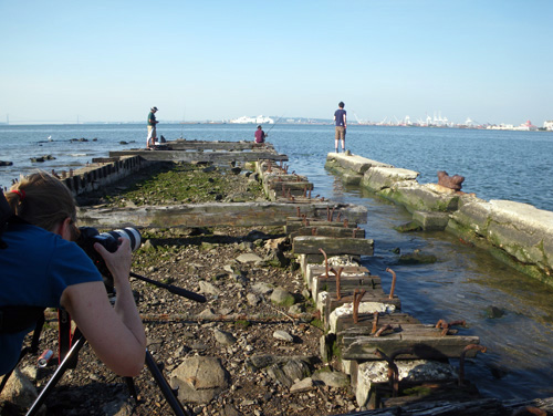
For her project, Castles Made of Sand, she photographs areas in the New York Harbor that are vulnerable to sea level rise.
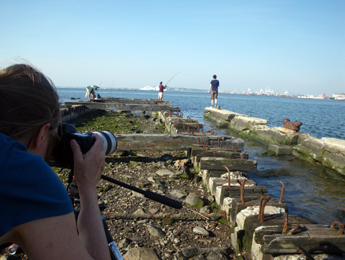
She hopes that by showing the sites up close, people might really visualize the impact of climate change.
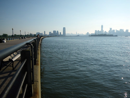
“Lower Manhattan is certain to be protected from sea level rise.” she writes,
“Castles advocates for planning for sea level rise for the Metropolitan area as a whole.”
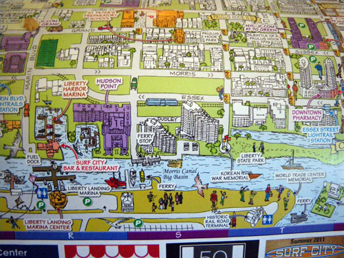
At a cafe on the way home, we found a map of local points of interest. Strangely, the area of the Flotsam Barge was cut off by an advertisement for ‘Surf City’.
↑ Return to Top of Page ↑