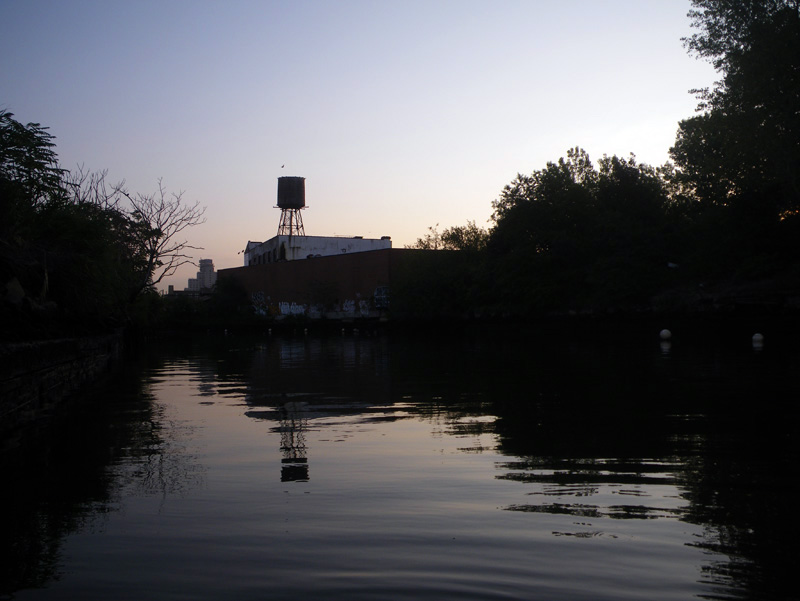
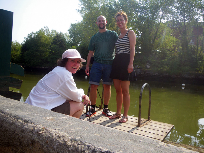
I met Iben and Kristian on the Gowanus Canal at sunrise.
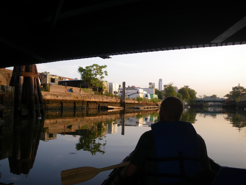
They were visiting New York from Copenhagen, and they were staying just a few blocks from the canal.
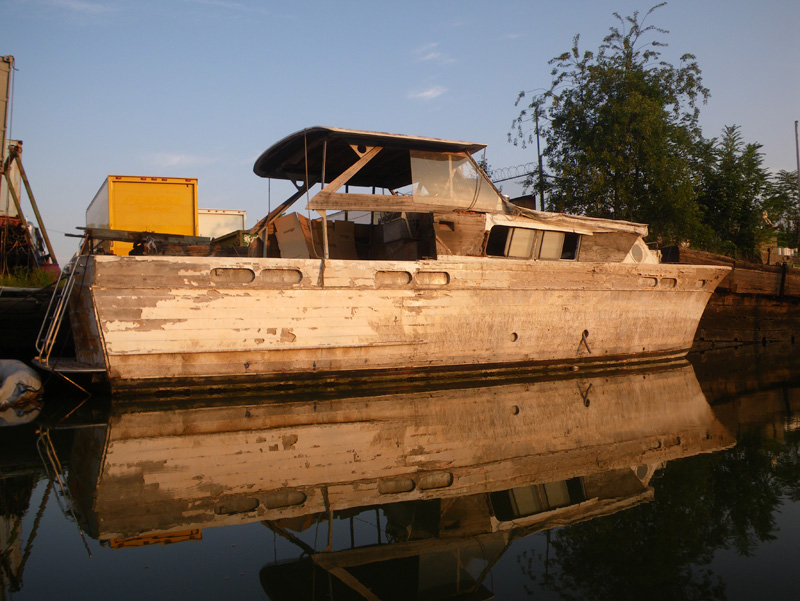
It was fun to explore the area with them.
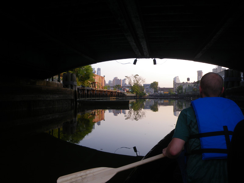
Kristian participated in the summer program where I was teaching this summer. He was one of the stalwart campers who made a two day, 60 mile boat ride down the Kennebec River.
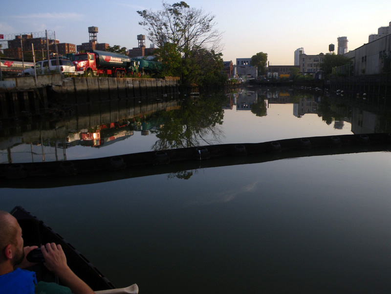
Kristian was always exploring while we were on that trip. He would disappear for hours to wander the interior while the rest of us stayed on the river bank.
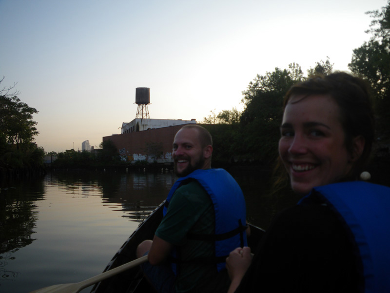
Iben seemed like a perfect match.
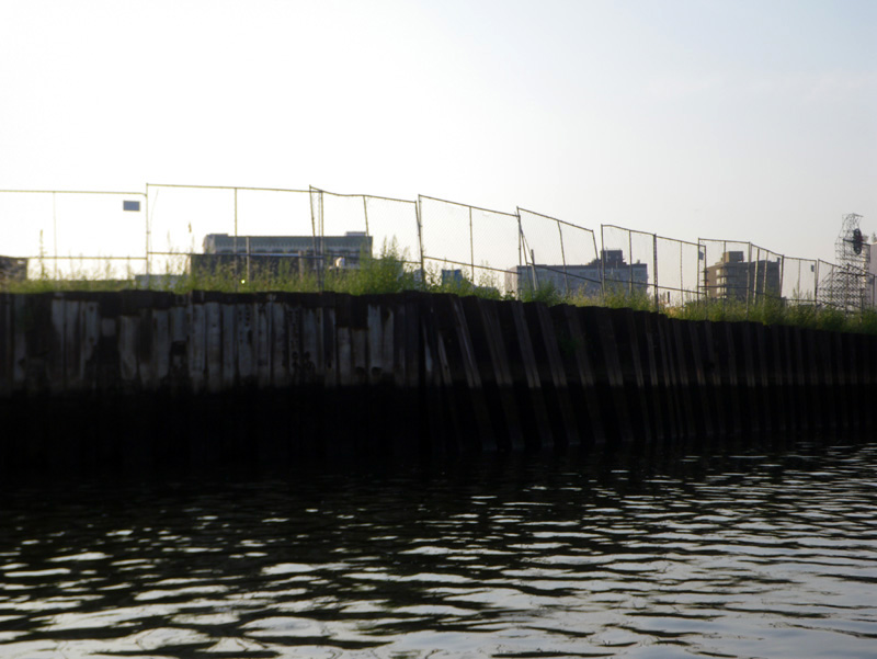
We looked at the mile of fences surrounding the site of the future Whole Foods grocery store.
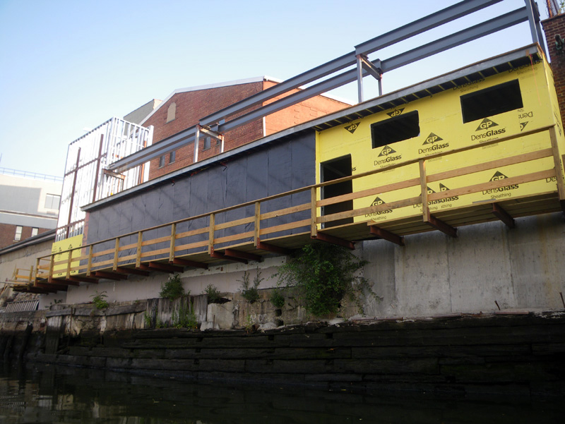
There seemed to be some new development across the canal,
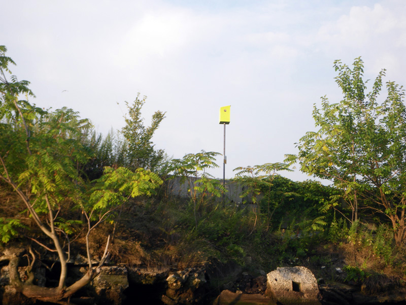
and even new bird houses to match.
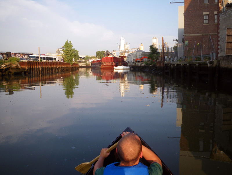
But for the most part, the Gowanus seemed like it always does;
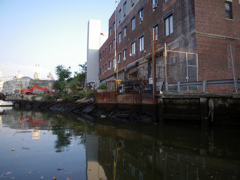
like a forgotten doorway into a secret world;
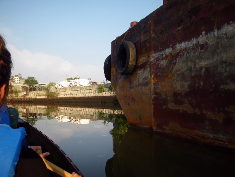
like finding a hatch at the back of your closet and wandering through.
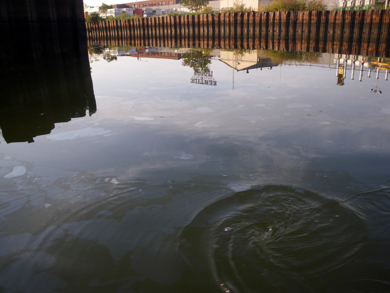
We came to a part of the canal where oil wells up out of the ground, or is dumped continually by the tugs that move the salvage barge.
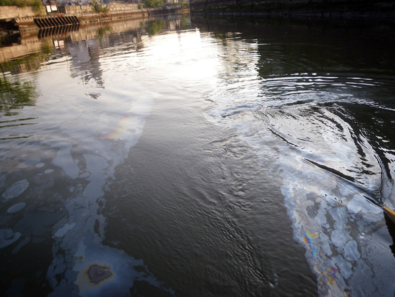
Our boat cut a path through the oil.
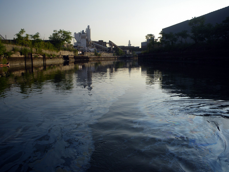
I asked Iben and Kristian if the waterways in Europe were so polluted,
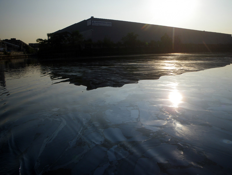
but it was hard to compare.
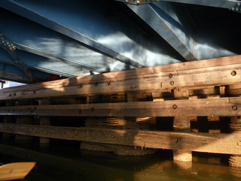
“We’ll be out of here soon.” I told them.
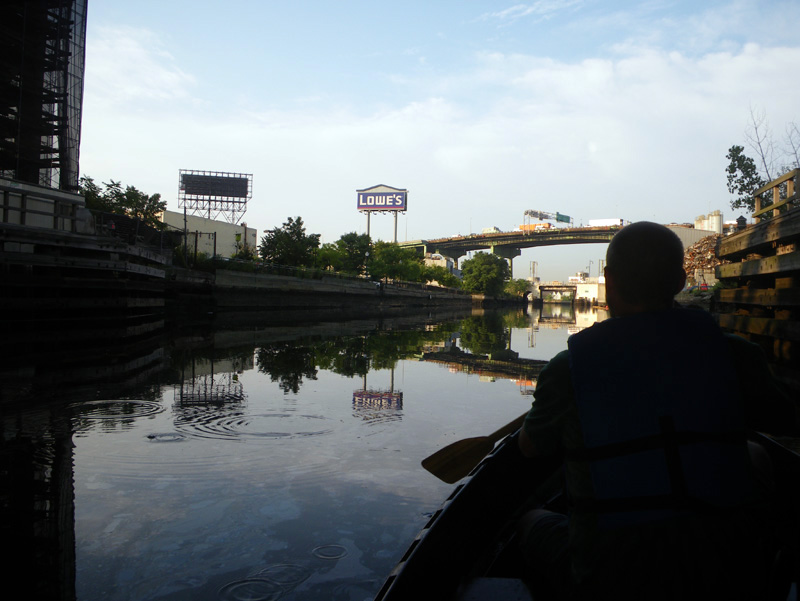
“There is something American for you,” I thought as we passed the salvage yard,
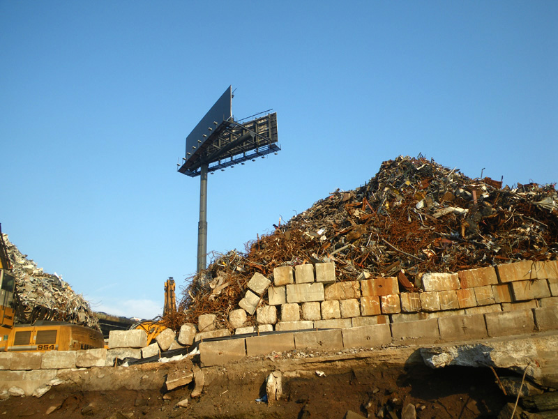
“a huge pile of garbage and a billboard saying nothing.”
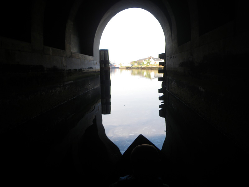
I guess what is different about pollution in the Gowanus (compared to Europe) is how much we accomplished in such a short period of time.
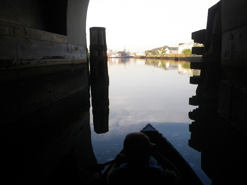
Soon we were in the clear air of the bay,
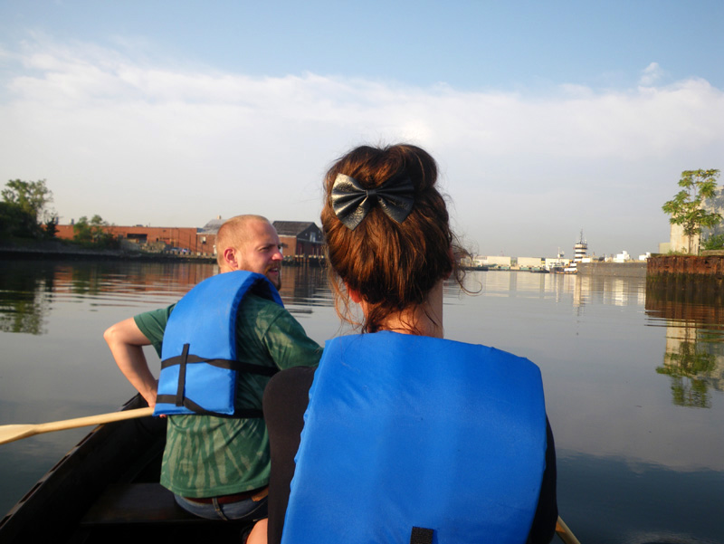
and it was time to get to work.
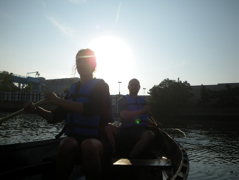
I had Kristian and Iben take over piloting the boat,
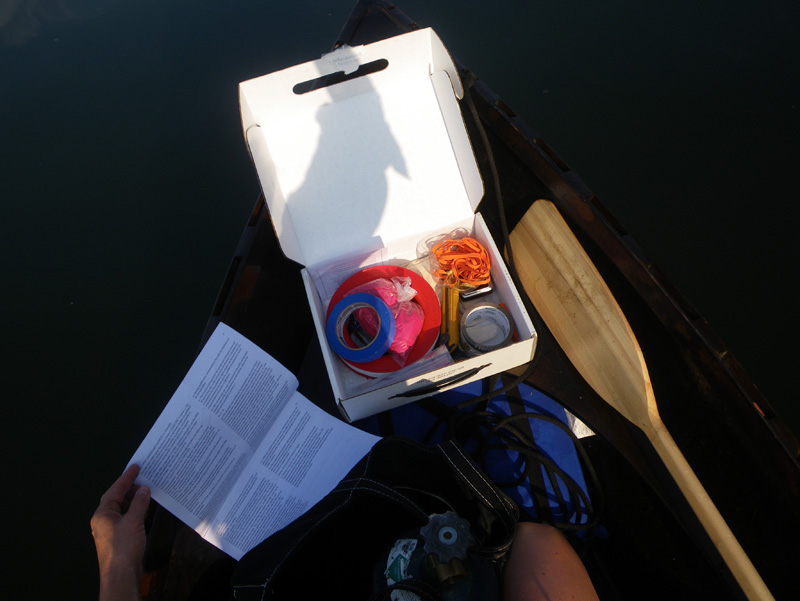
while I got our supplies ready.
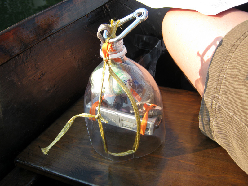
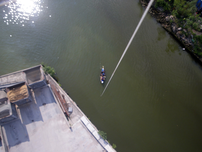
I had purchased a kit from Public Lab to take an aerial image of the canal.
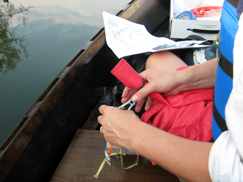
They have a project to try and stitch together images that people take of their neighborhoods and surroundings – like a people’s map of the world.
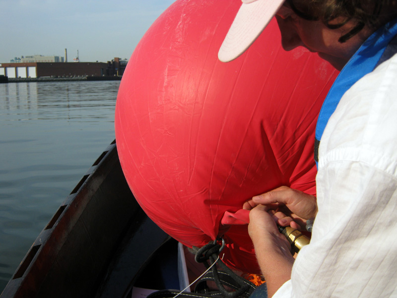
Maybe we could add a small section of the Gowanus to the Public Lab’s map.
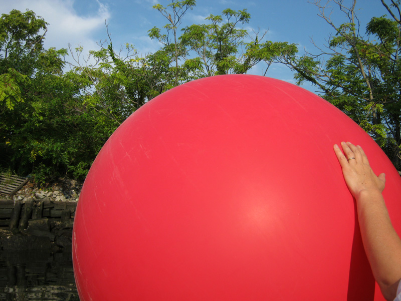
We filled up the balloon,
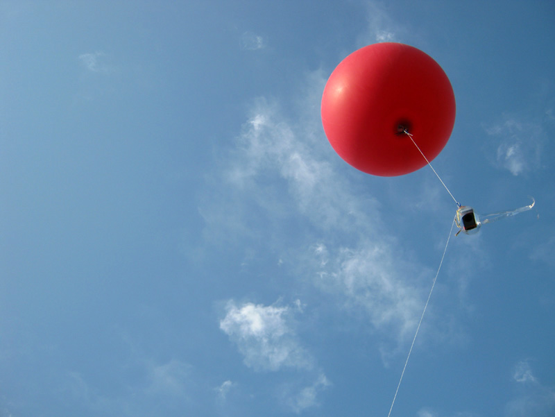
attached the camera,
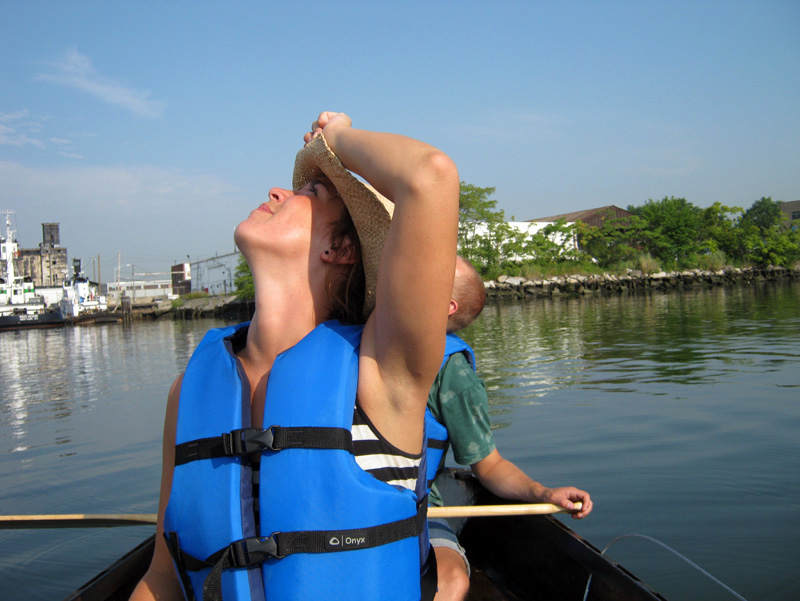
and let out the line.
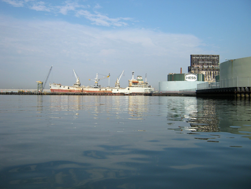
It was a busy day out in the open bay,
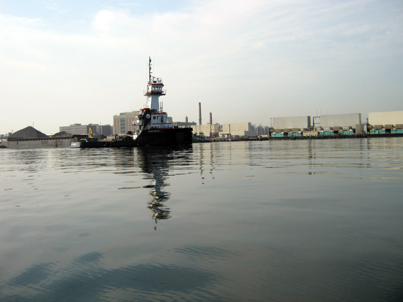
and huge tug boats were moving all around us.
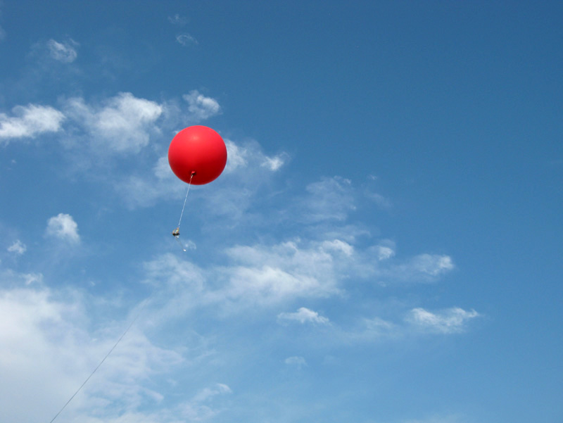
We looked up at the balloon and imagined all the things it must be seeing from up there…
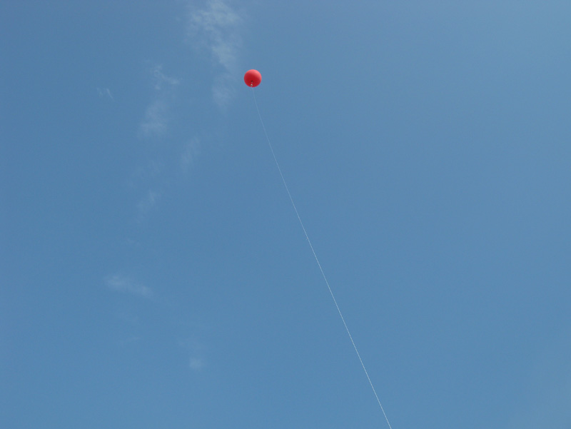
or was it even seeing anything?
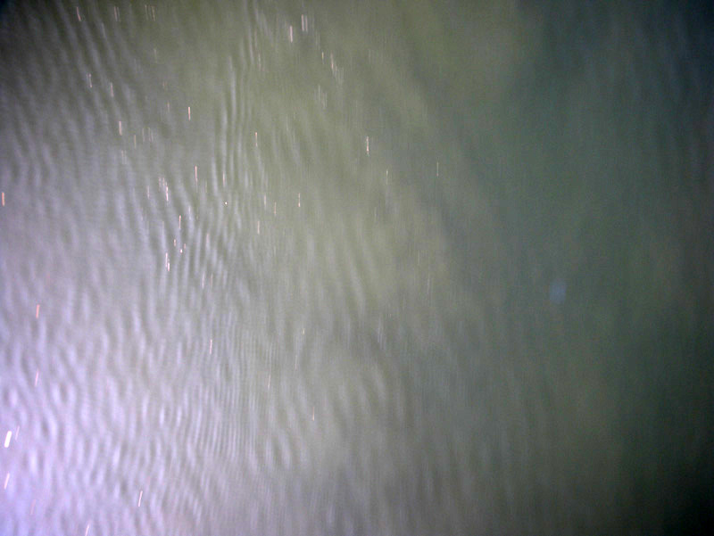
The truth was somewhere in between.
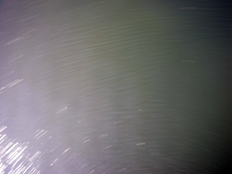
The camera picked up images of the water as it spun and swirled in the wind.
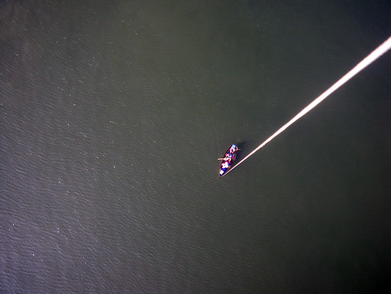
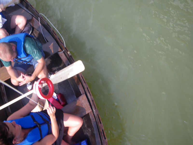
Once in a while, we came into view,
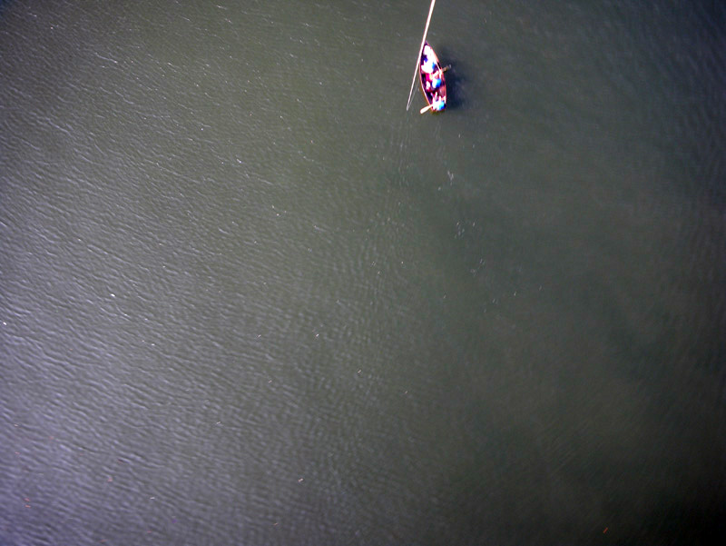
paddling along, then spinning out of focus.
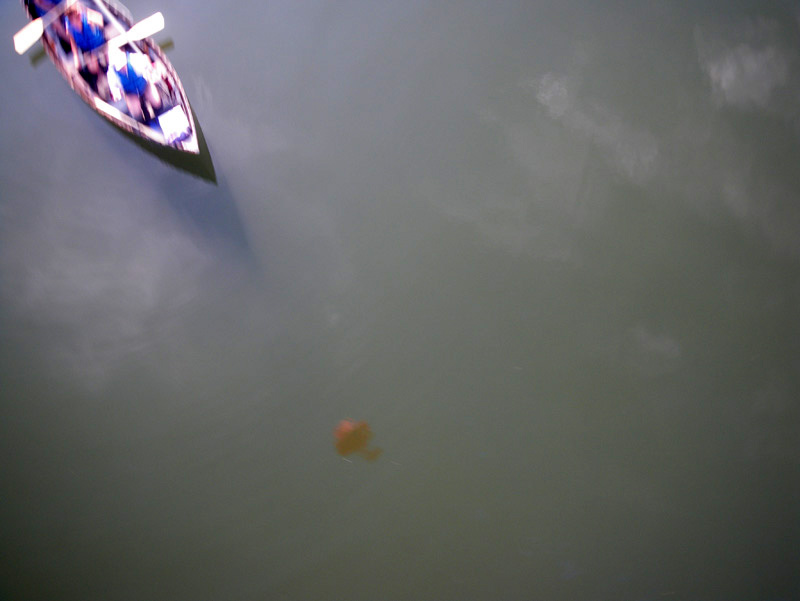
Mostly the camera seemed to focus on reflections of itself in the water; self centered, just like us.
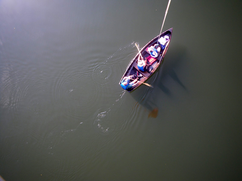
At one point someone on shore was taking a picture of us, while we were taking a picture of the balloon, while it was taking a picture of the boat.
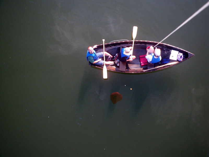
“There are now at least three images of this completely banal moment.” I said.
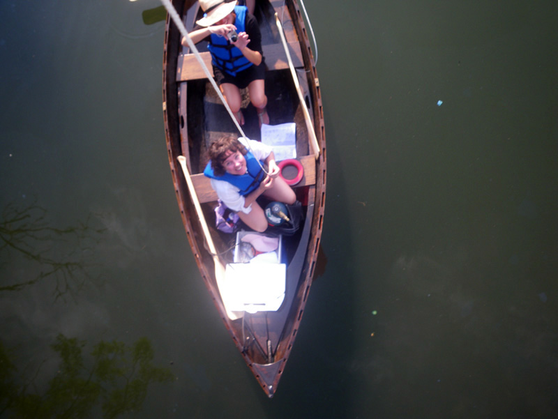
Most of the shots out in the bay were out of focus. We had not let out enough line for the camera to see the shore.
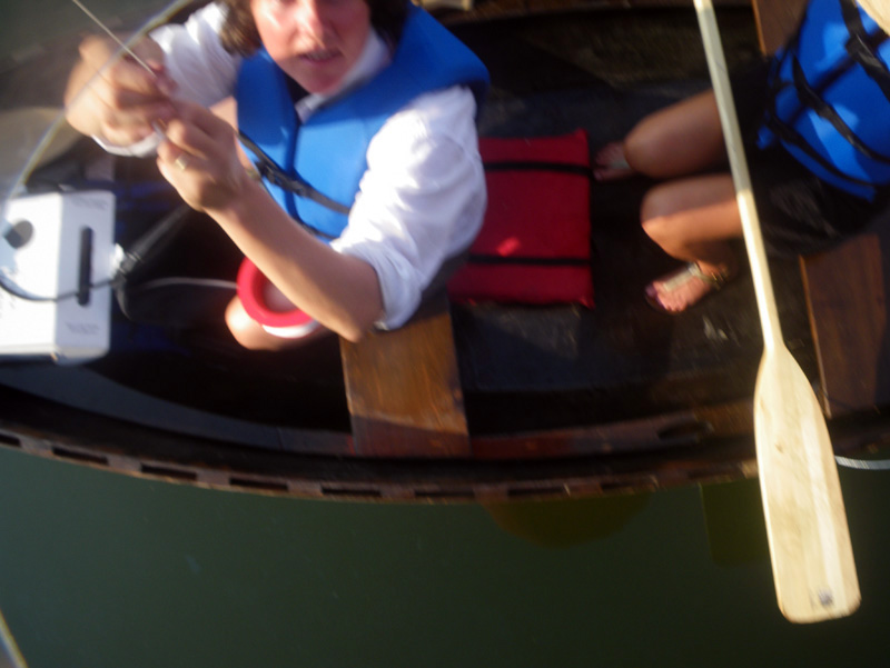
We had to reel the camera in to get back under a bridge,
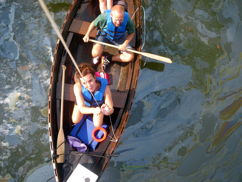
and when we let it out again, something interesting began to happen.
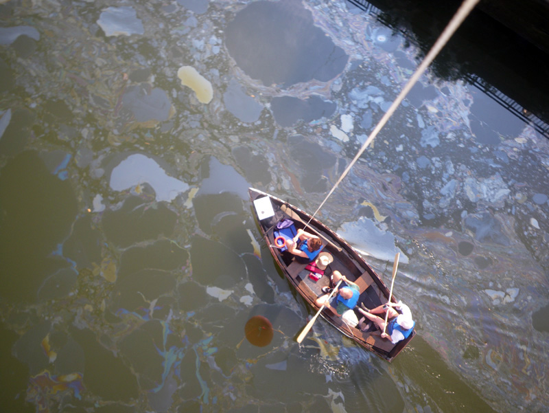
We entered the area of the oil slick,
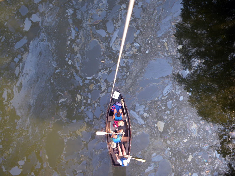
and finally, the balloon camera had something to focus on.
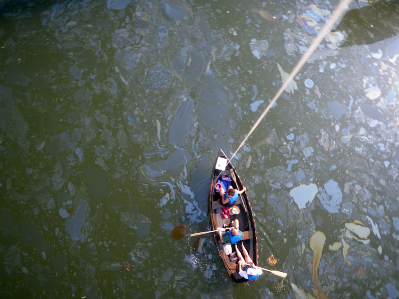
The surface of the water was alive and shimmering with color.
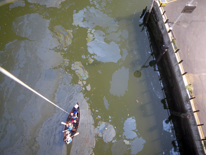
We inched through the spill,
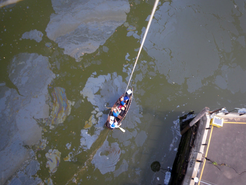
our eye in the sky tugging gently on the line.
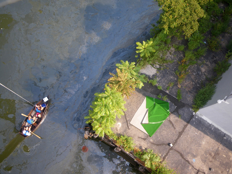
There was something animate about the way it wandered around on its own and looked down at us.
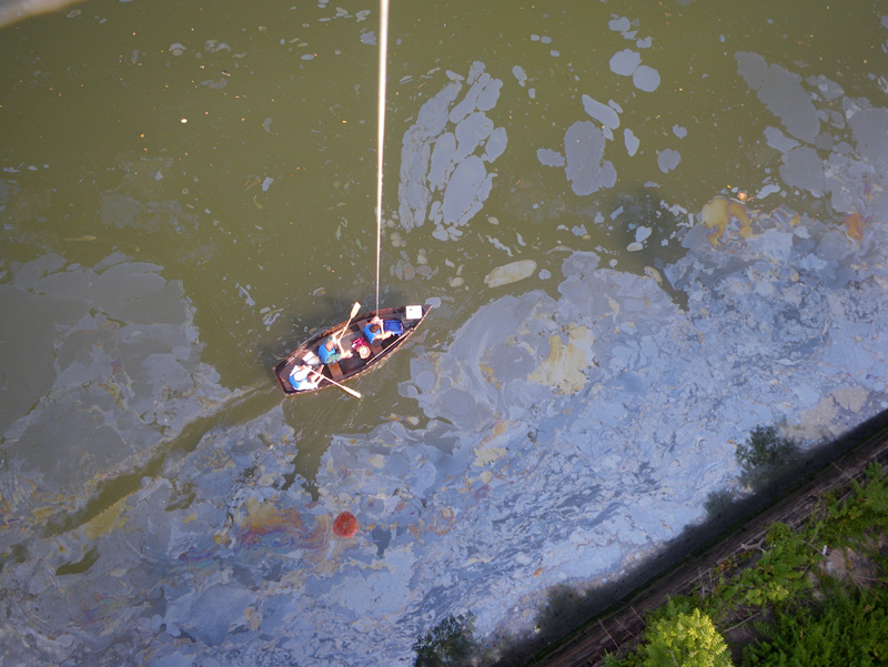
“It feels like we have a pet.” Said Iben.
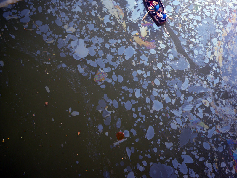
Iben had her hand on the cord, and we urged her to let it out further so that it could see more.
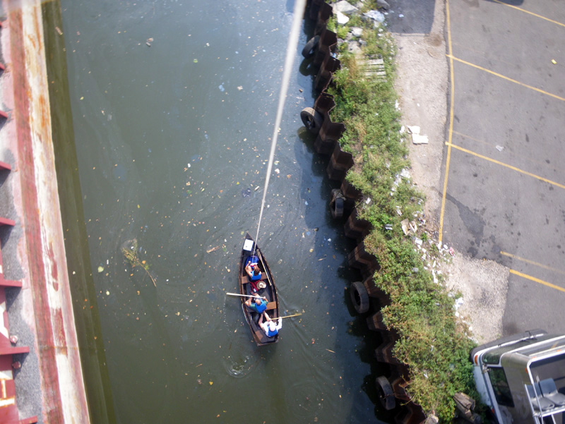
The balloon tugged upwards,
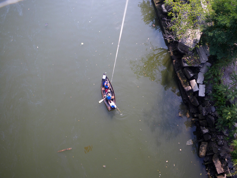
away from the canal,
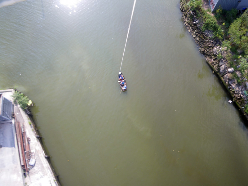
up above the cement factory,
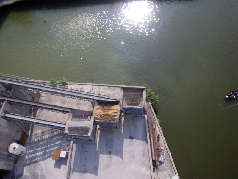
and the future site of the Whole Foods grocery store,
Before the last bridge, we tugged it down and took the balloon back into the boat.
We would not see what the camera had seen until I got back home to my computer that night,
and Kristian and Iben were heading back to Copenhagen the next day.
For now, it was fun to speculate.
↑ Return to Top of Page ↑