Herring River

with Jeff Williams

October 22, 2017

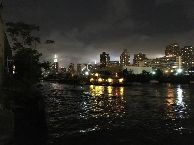
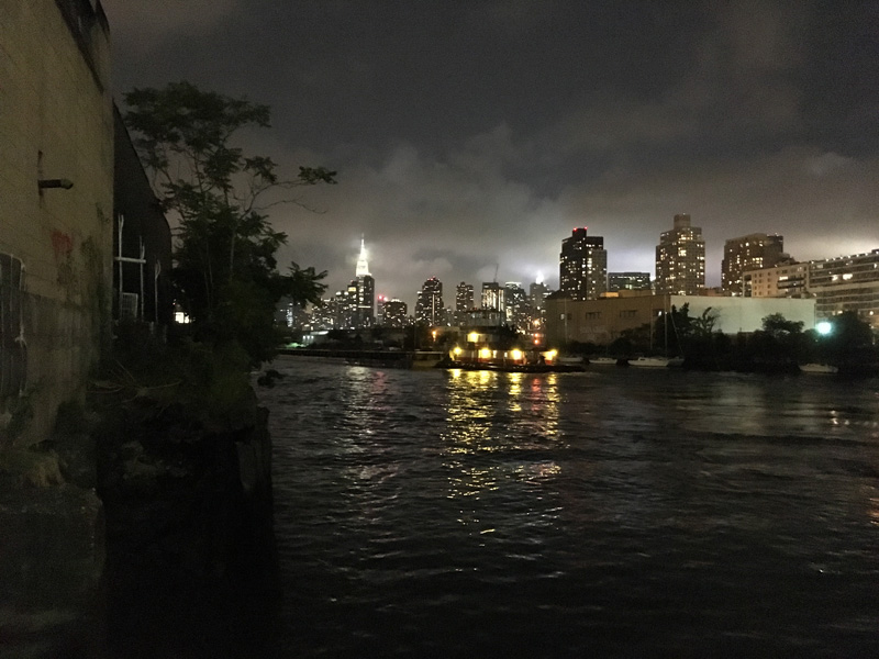
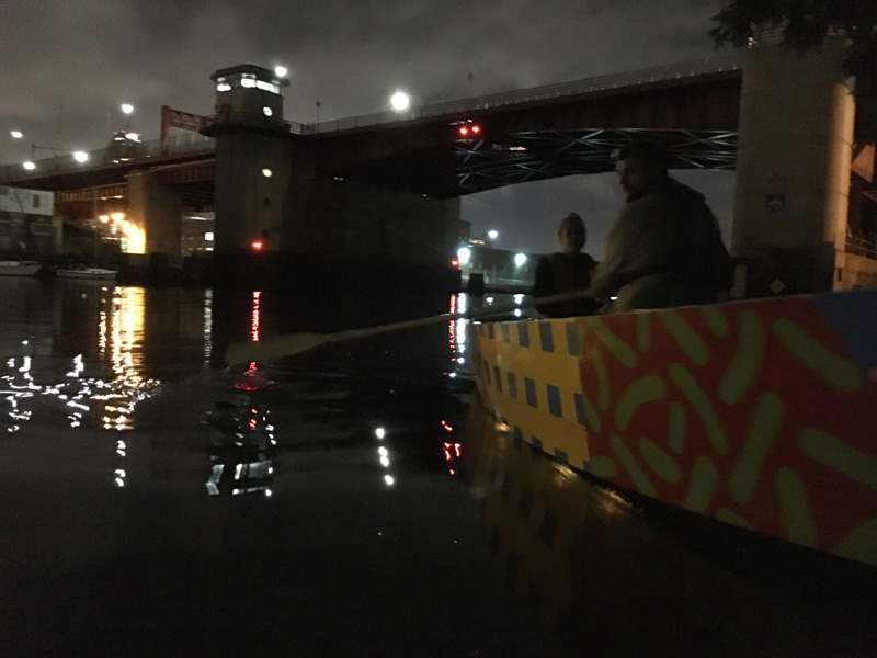
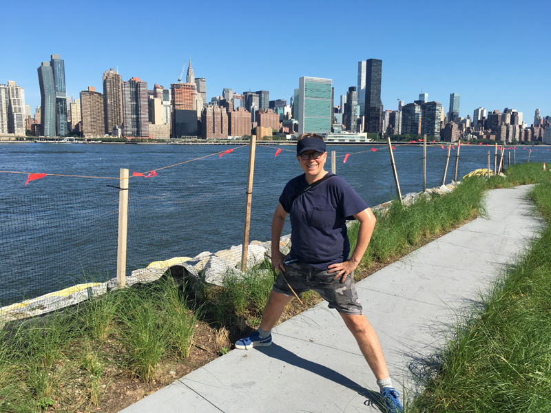
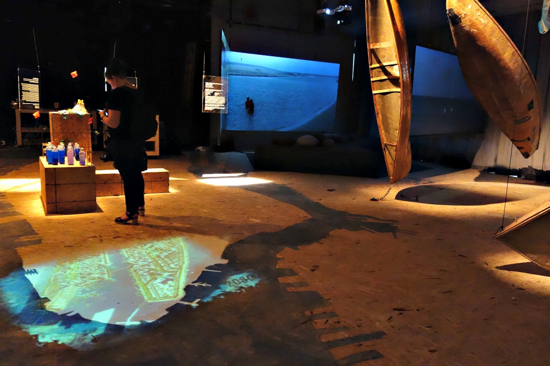
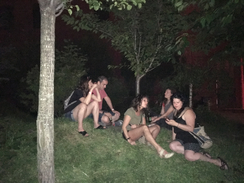
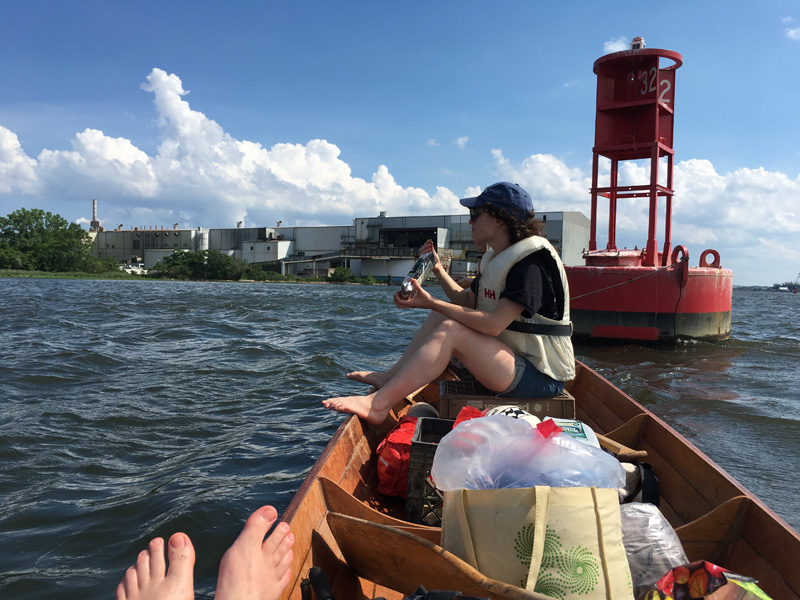
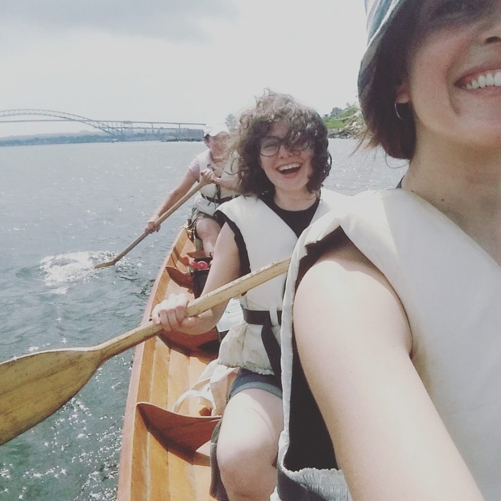
In May, Jeff Williams and I were invited by Dylan Gauthier and Kendra Sullivan to participate in their a residency at the Cape Cod Modern House Trust, a non-profit foundation created to save and repurpose a group of historic structures as “platforms for creativity, scholarship and public access.”

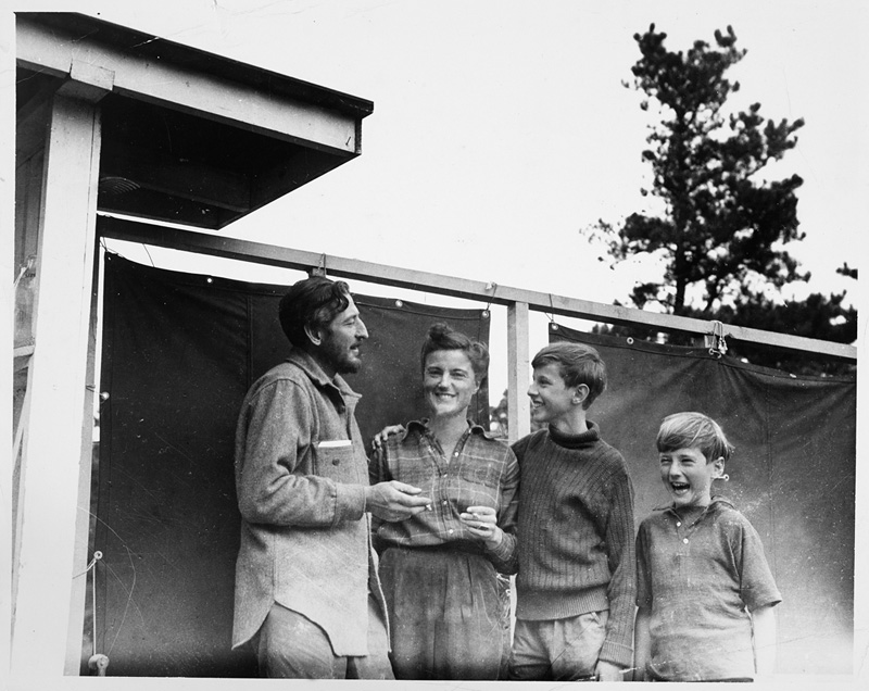
(Serge, Barbara, Ivan, and Peter Chermayeff at their new home on Slough Pond,  1944)

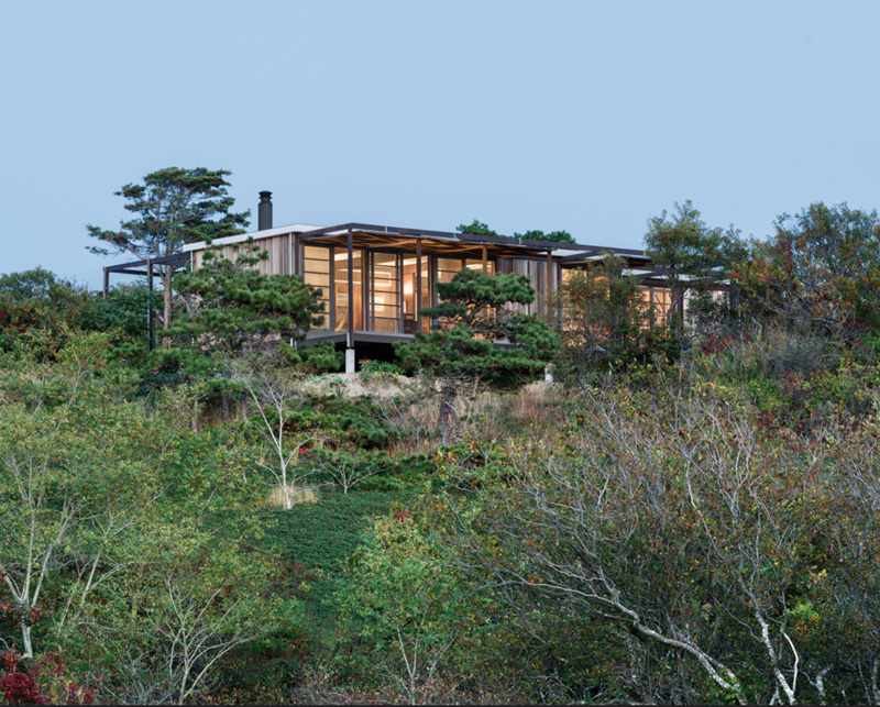
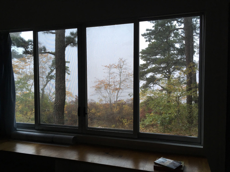
The houses were built on the Cape in the mid 20th century by architects like Marcel Breuer, Serge Chermayeff and Paul Weidlinger.

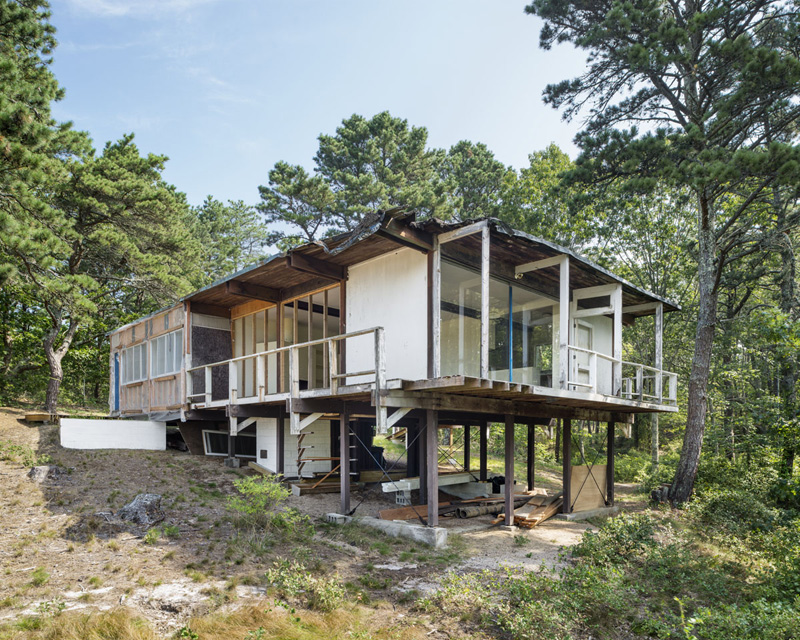
(Weidlinger House under restoration, 2013)

When the Cape Cod National Seashore was created in 1961, some of these houses became part of the park. Most of them had been abandoned for years, and were slated for demolition,

(Hatch Cottage, designed by Jack Hall in 1960)

but the parks department didn’t rip them up right away. As an archeological site, the Cape Cod National Seashore concerns itself with more than just the natural landscape.

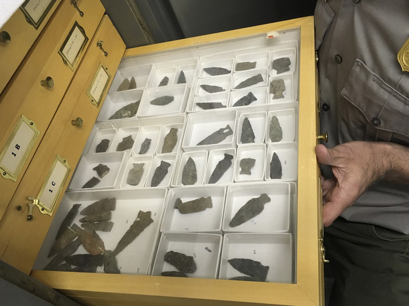
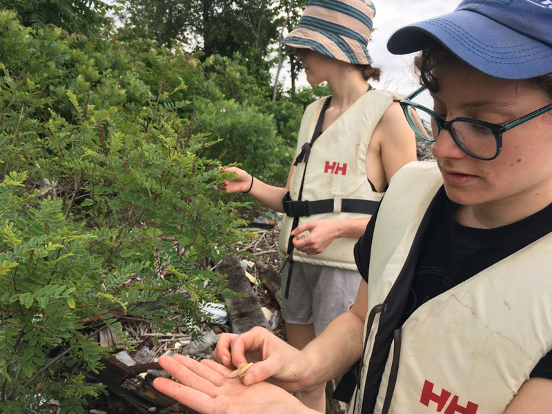
The park has collected and cataloged thousands of artifacts like these drawers of arrowheads,
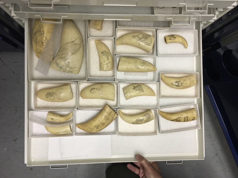
scrimshaw,

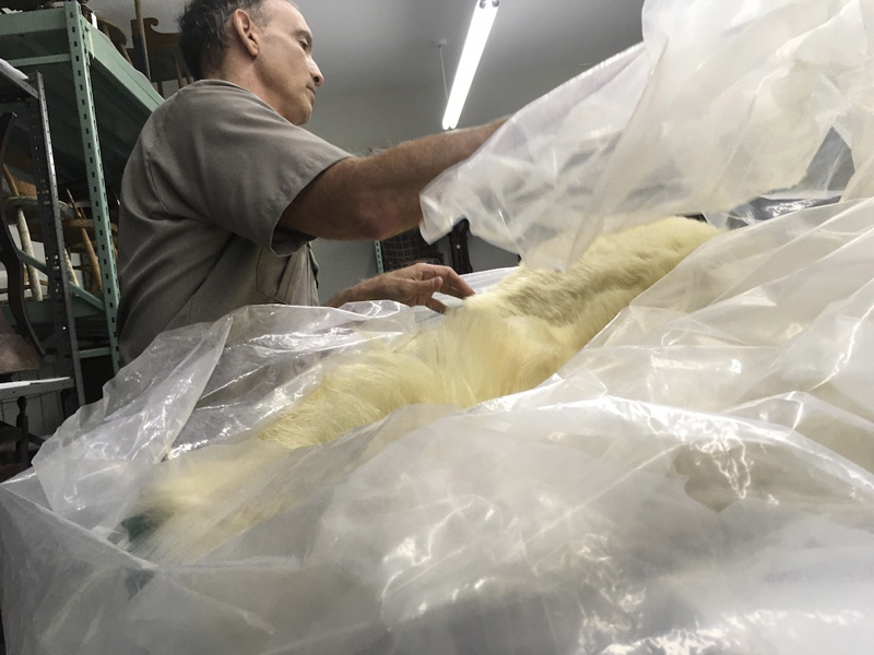
the pelt of a giant polar bear.

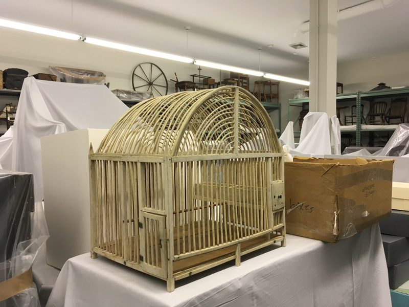
Houses are more expensive to maintain than these artifacts (Bill Burke gave us a behind the scenes peak into the park’s historic collection), so the Cape Cod Modern House Trust raises money for their upkeep and public programming.

Talking with Bill about the Discovery Center’s vast collection made us curious about some of the other intersections of artifact and landscape on the Cape.

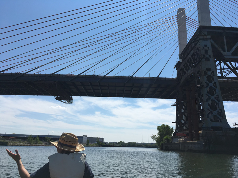
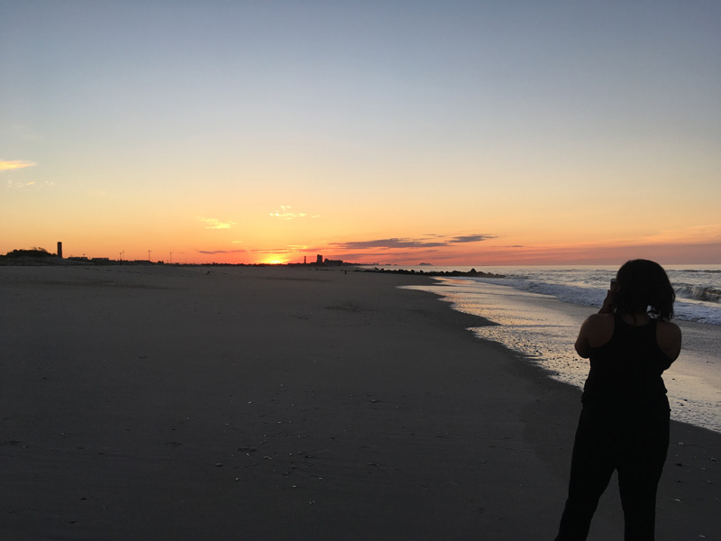
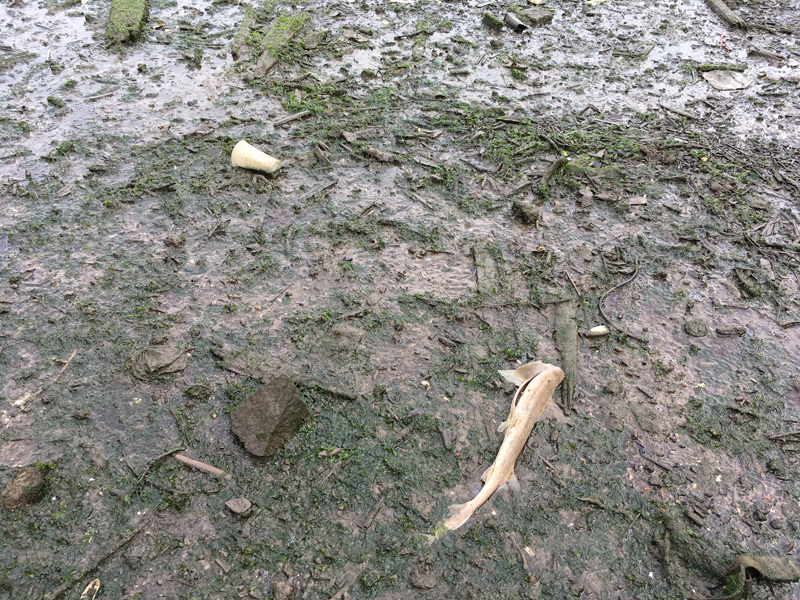
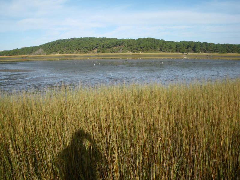
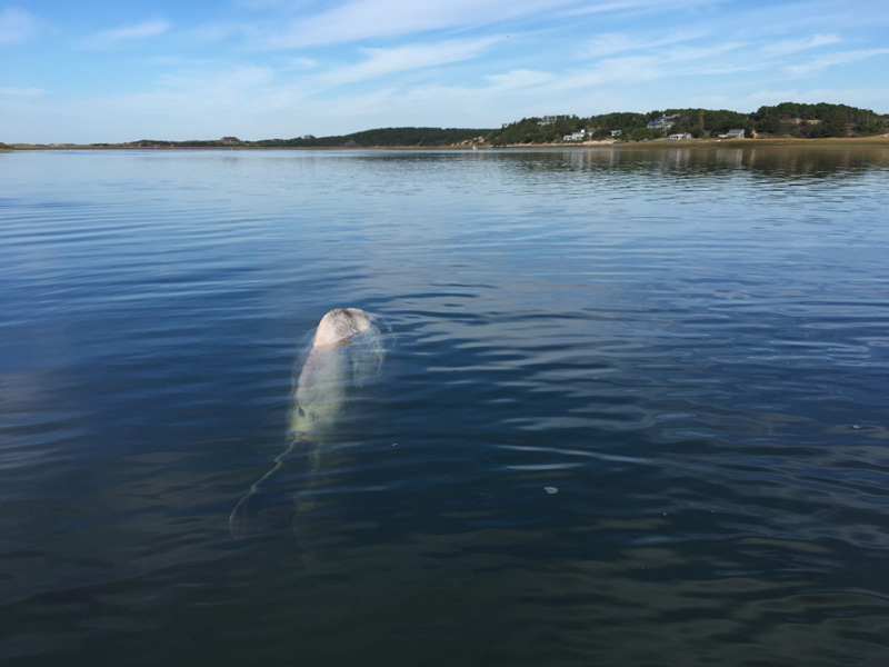
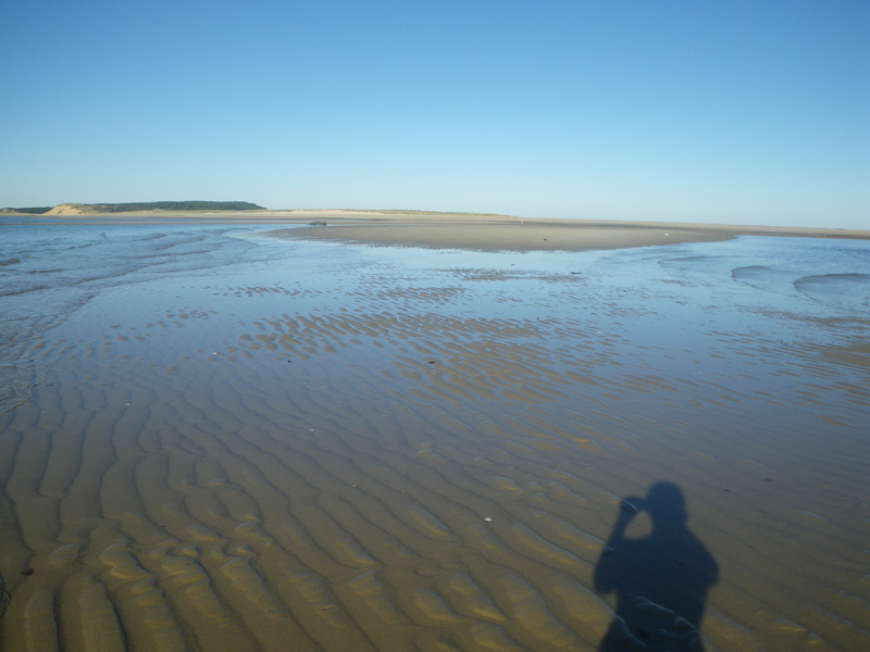
The evening before, we stood on a bridge as the tide went out and watched a giant sunfish struggling in the marsh.

We went to find his body at low tide, and realized how far he’d actually been from safety.

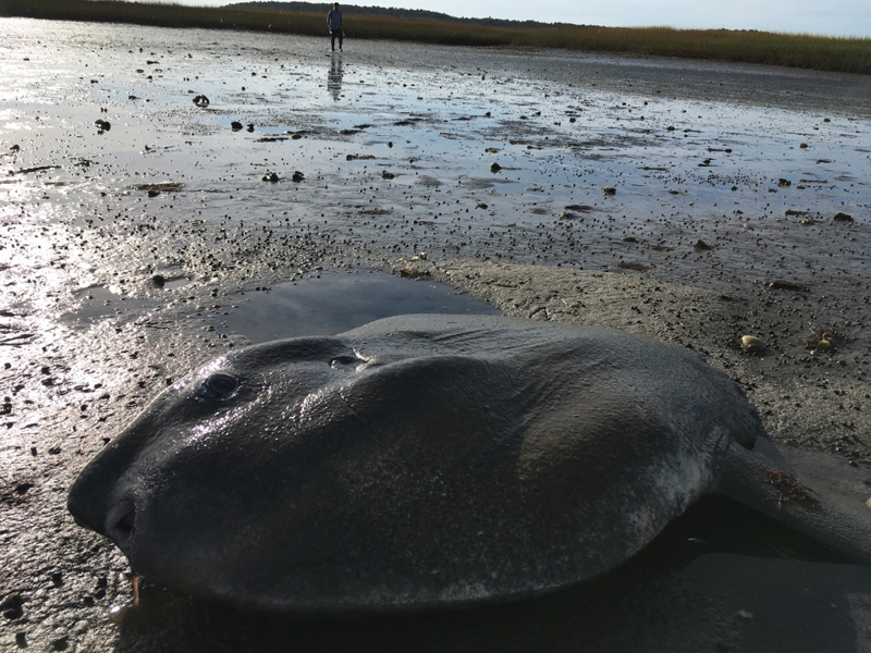
A man fishing from the bridge told us that he had seed quite a few wash up this year. The cape can leave animals miles from open water in just a few minutes.

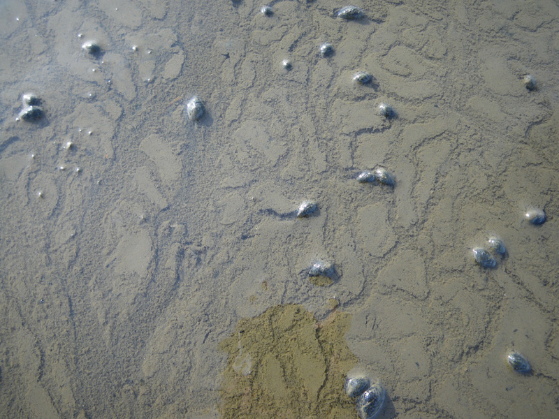
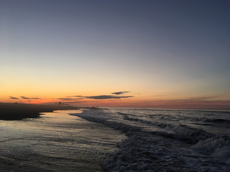
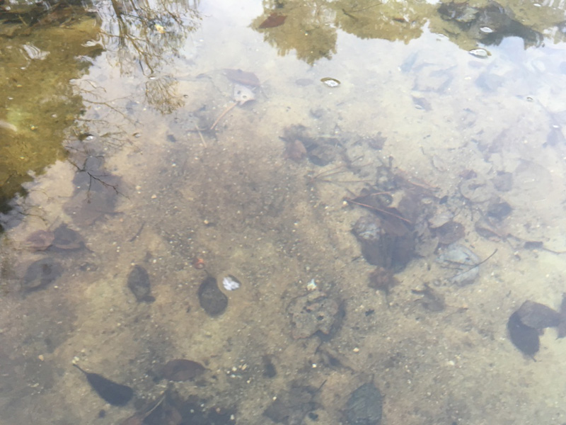
As we walked away, the receding tide made a million tiny rivers,

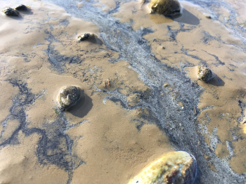
with unknown numbers of living things stranded in their ebb.

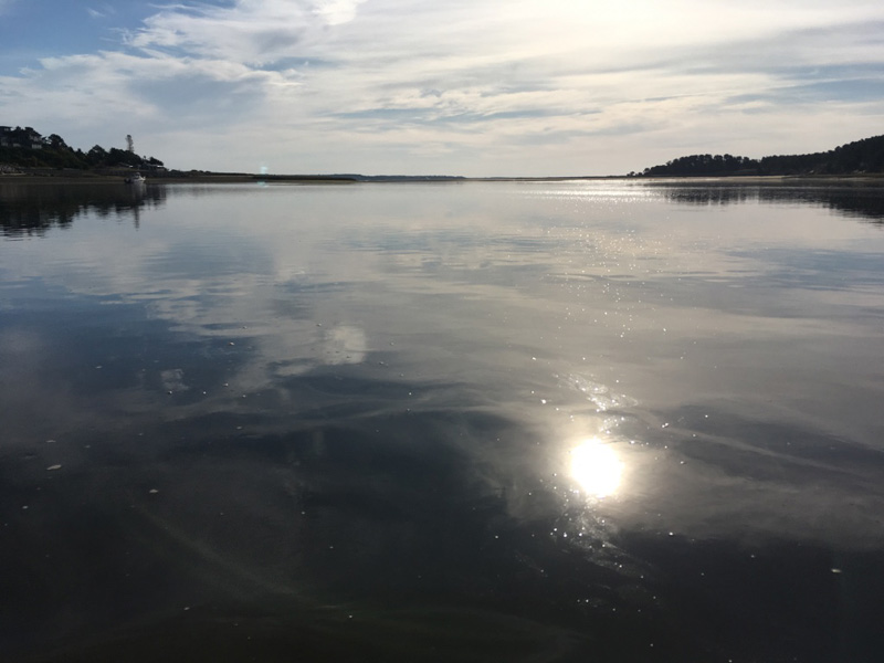
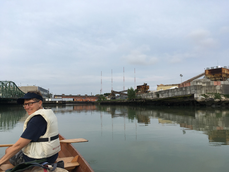
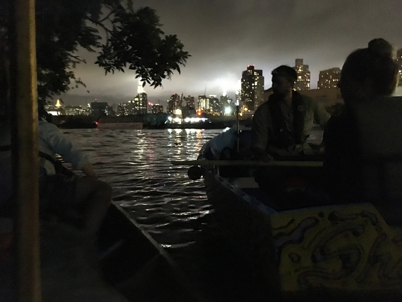
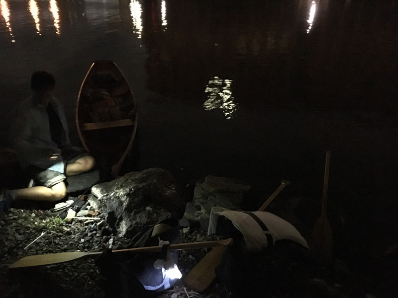
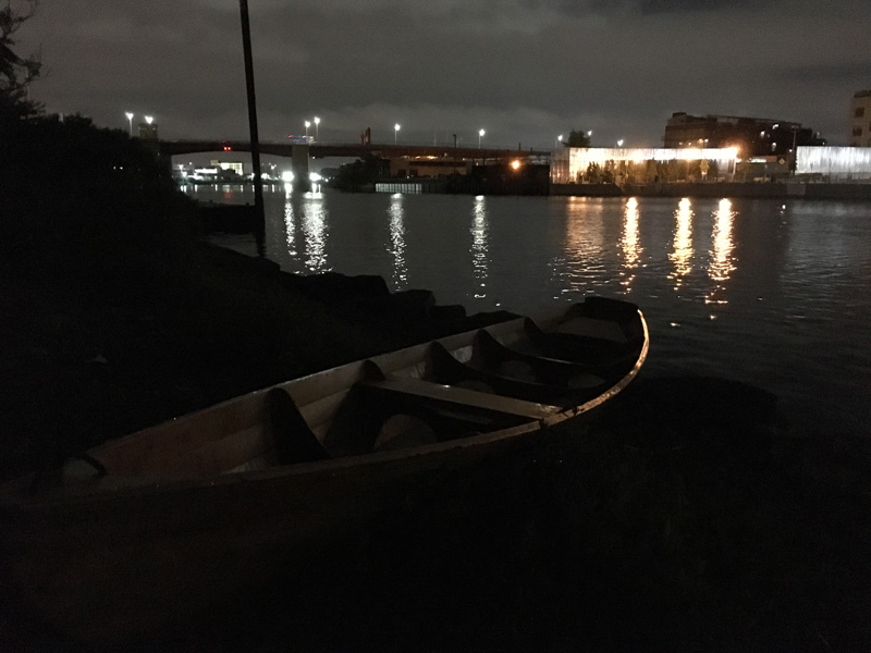
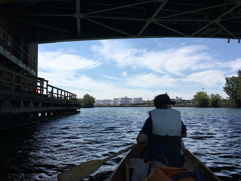
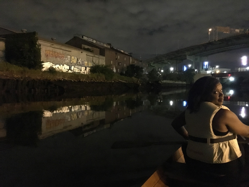
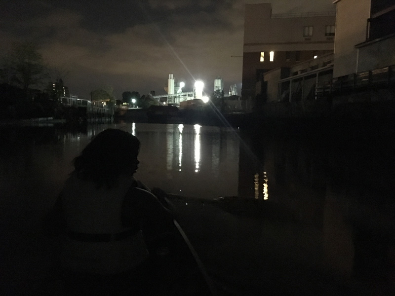
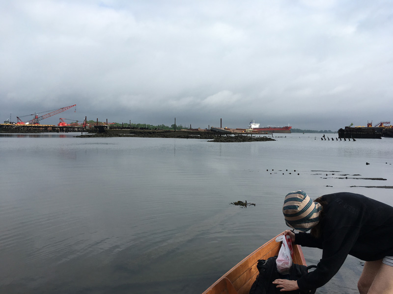
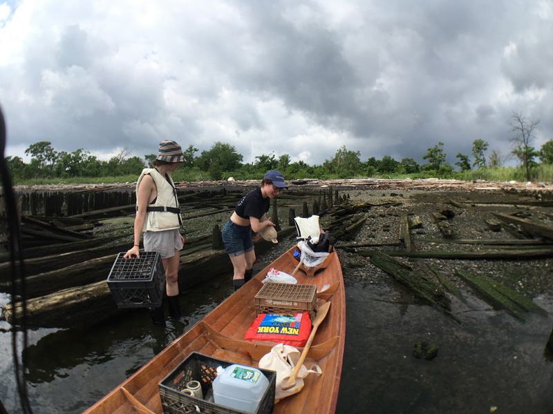
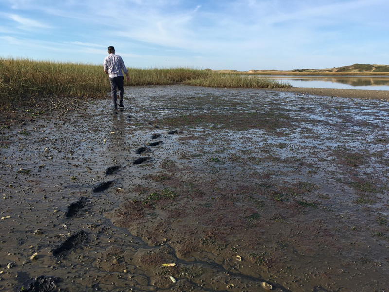
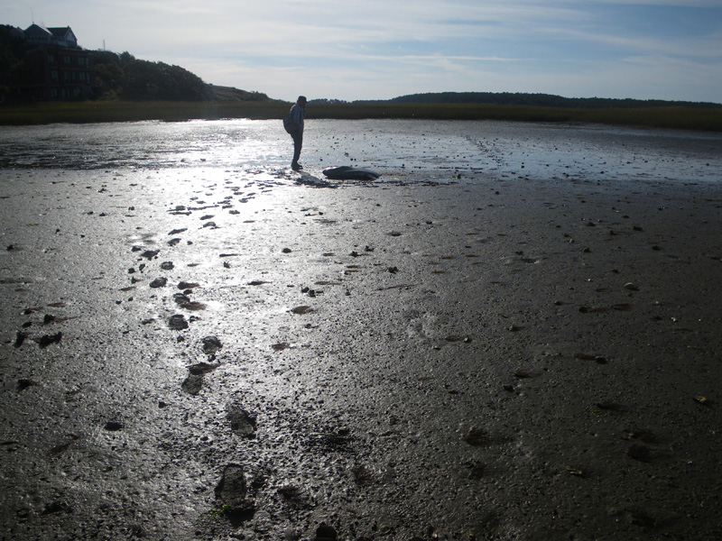
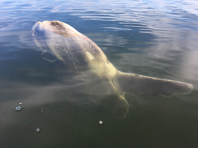
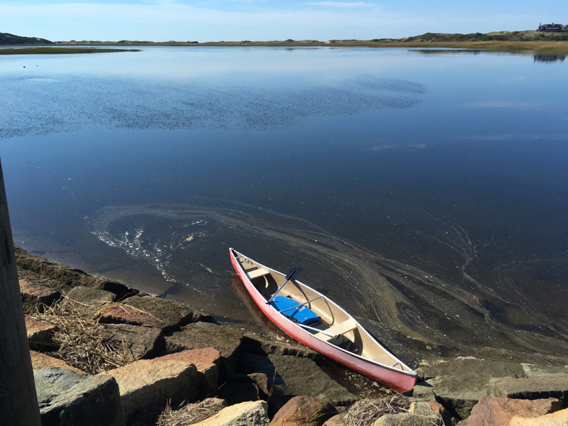
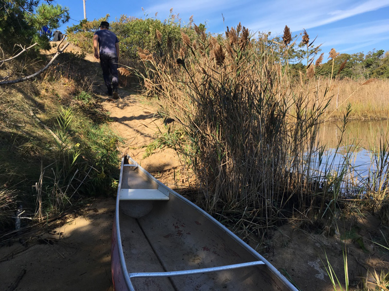
We paddled back out to a strange discovery;

another sunfish, recently deceased, its giant body floating just below the surface.

The large numbers of sunfish stranded in the Cape this year might be due to climate change. Warm water, late in the season prevents the fish from migrating. A sudden cold current can change the amount of dissolved oxygen in the water. The sunfish basically suffocate in the cold.

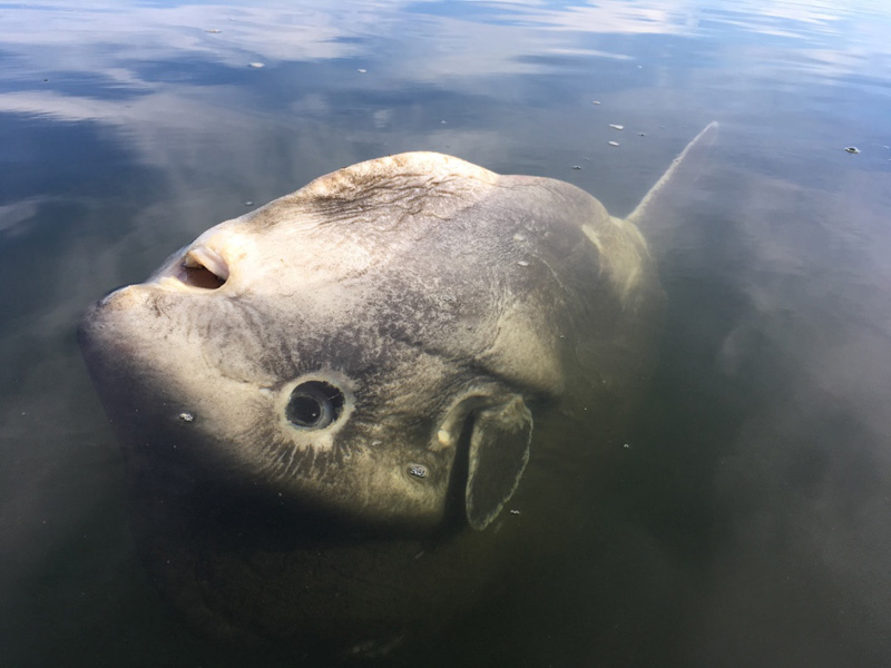
At least that’s what the fisherman told us the night before.

“It was my favorite fish.” said Jeff.

He was referring to another giant that lived at the Monterey Bay Aquarium in 1980s. The aquarium used to catch young sunfish and release them back into the wild after a few years. But this one, Jeffs favorite, had grown too big to move. Seven feet tall and weighing over 3000 pounds, the fish had plied the waters of the Open Sea™ exhibit for most of Jeff’s childhood.

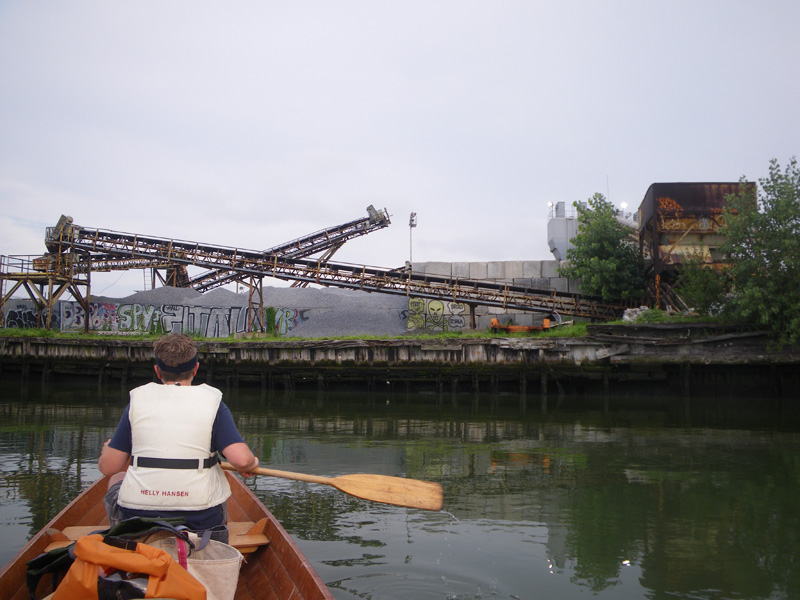
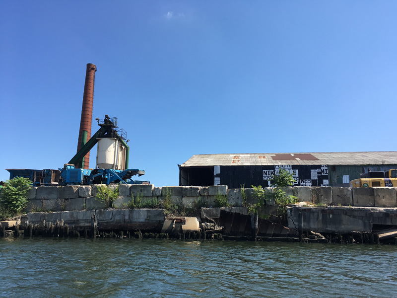
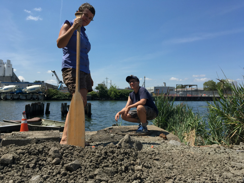
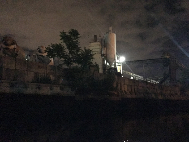
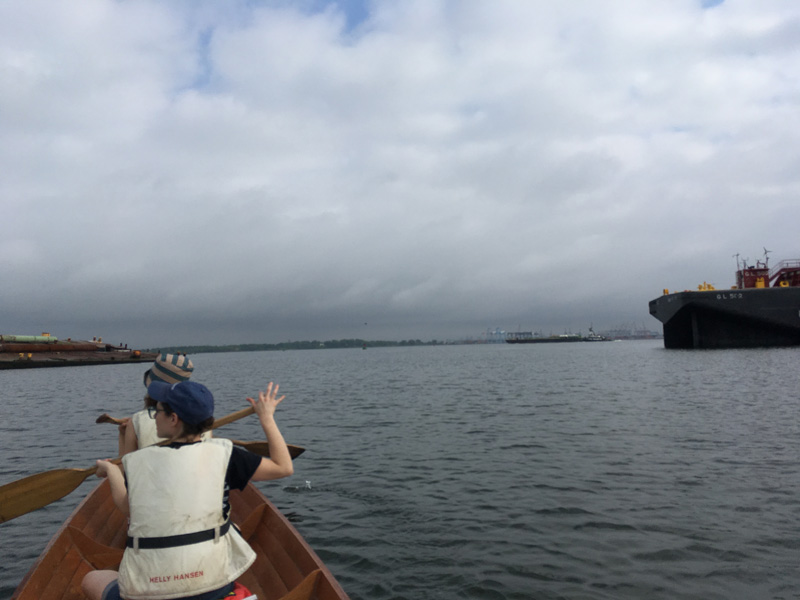
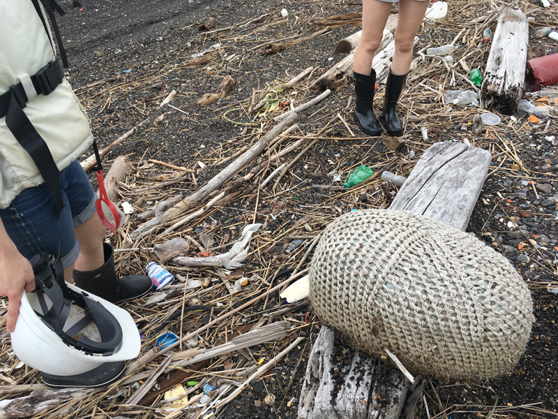
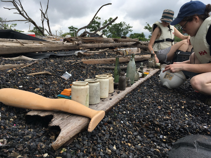
We continued on land to find more artifacts.

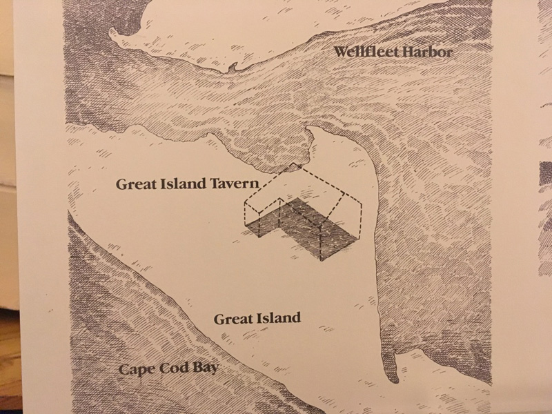
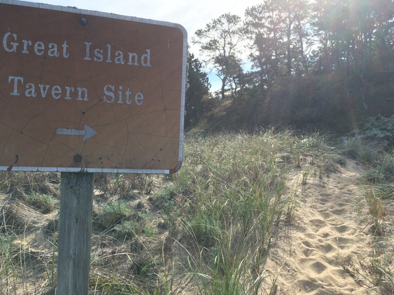
Excavations in the 1960’s revealed thousands of pipe stems and drinking vessels here on Great Island, the site of a 17th century Tavern that, evidently, did not haul away its trash.

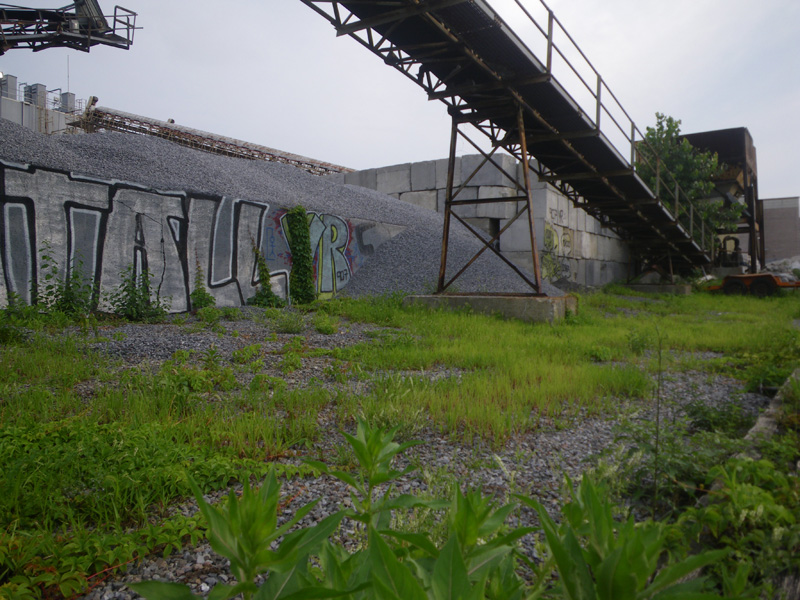
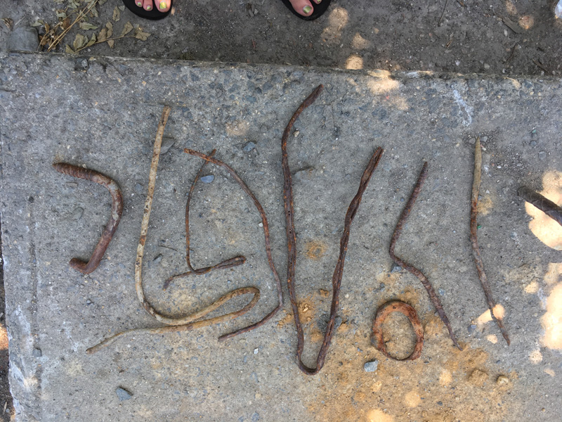
There’s not much evidence of the tavern now, except for a perfect view of both the ocean and the bay.

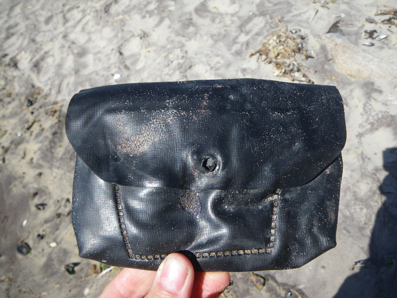
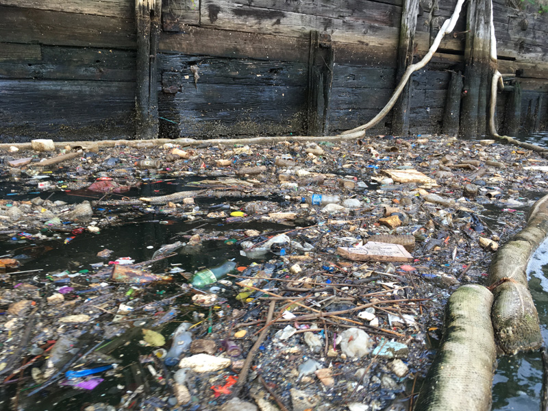
All the trash we found was from the wrong century.

When does garbage become archeology anyway? 300 years? 30 years? If the effects of human beings can be found on everything, then isn’t every object a mix of natural and cultural, if only by degrees?

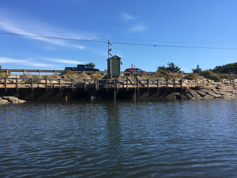
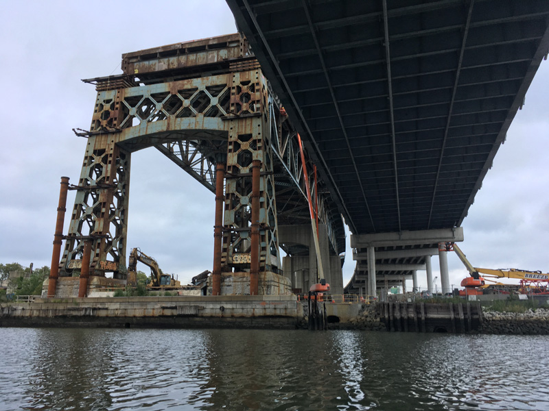
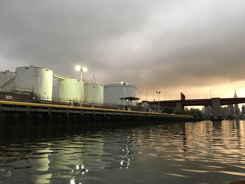
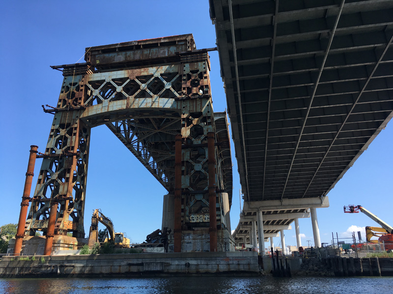
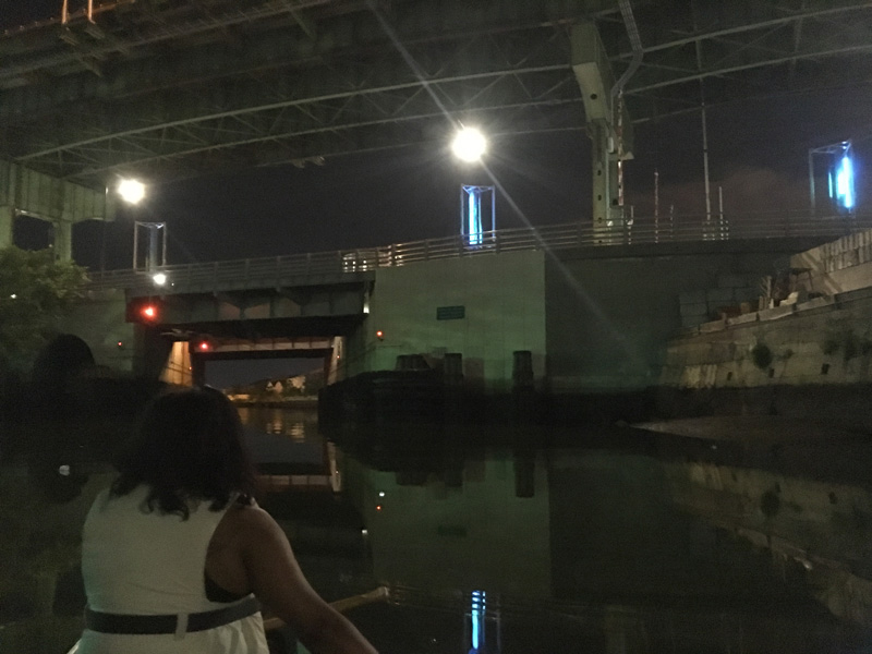
If the unintended consequences of development are considered cultural artifacts, then this unassuming little bridge is a prolific cultural producer.

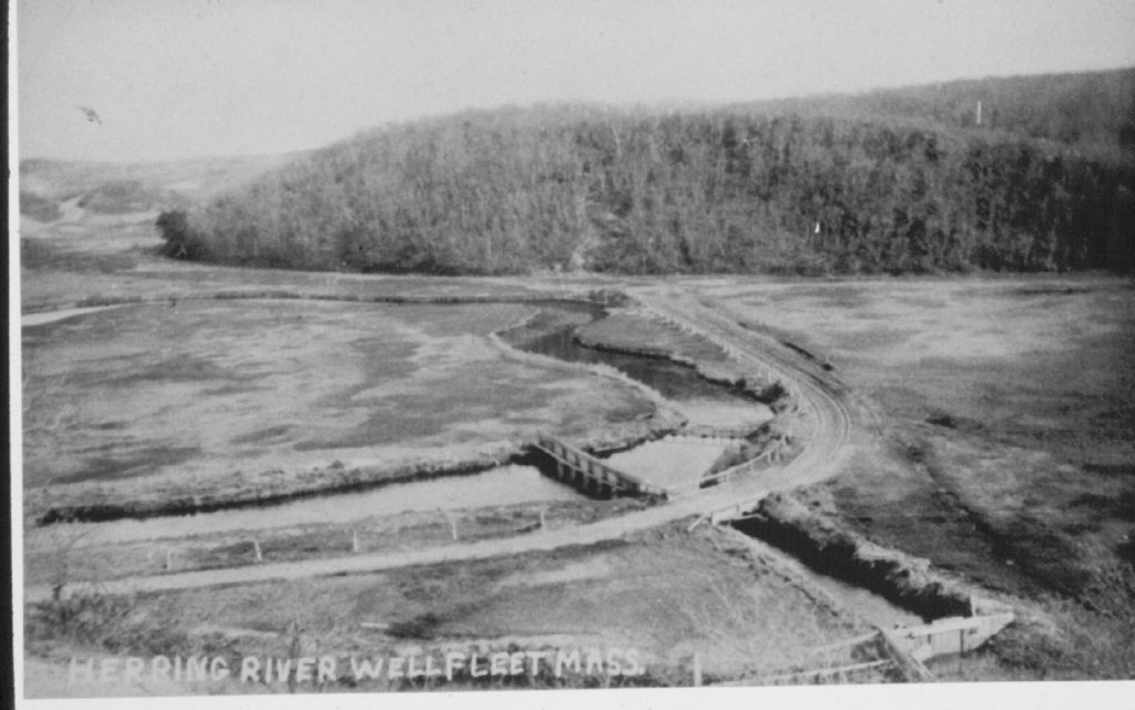
The Herring River Dike was built in 1909 to control water in the upper estuary. Like similar projects all along the eastern seaboard, it opened acres of land for development and reduced the size of the saltwater marsh.

When the tide is high on the ocean side,

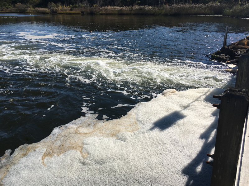
only a small amount of water comes through the dike, reducing the tidal range in the upper estuary.

After hearing about the Herring River dike and the problems that it created for the estuary, I wondered if we would even be able to tell the difference.

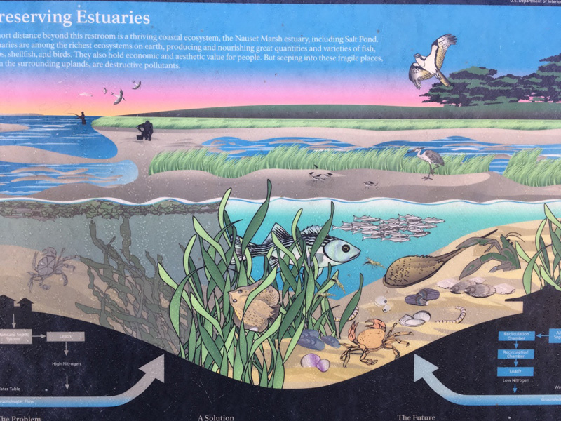
The two sides of this placard at that Cape Cod Visitor Information Center look similar to me – especially above the waterline.

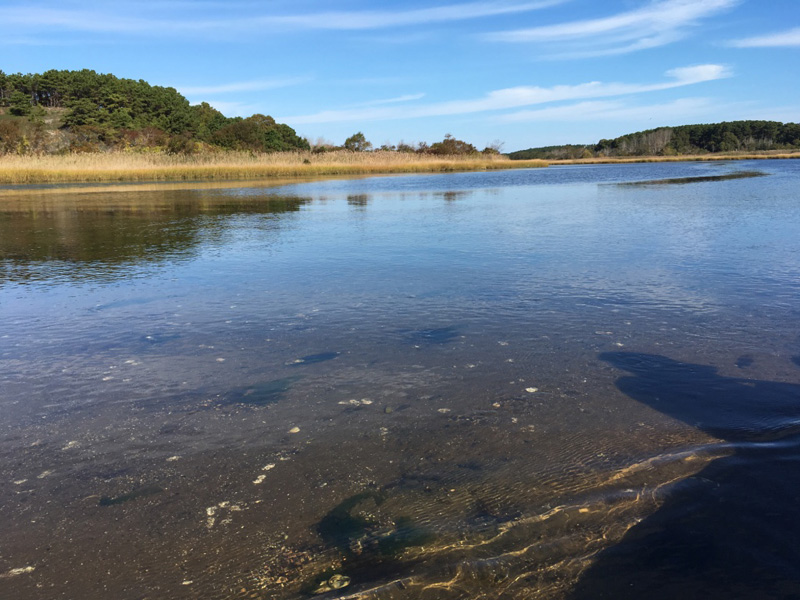
But there were some differences that were evident, even to a layman.

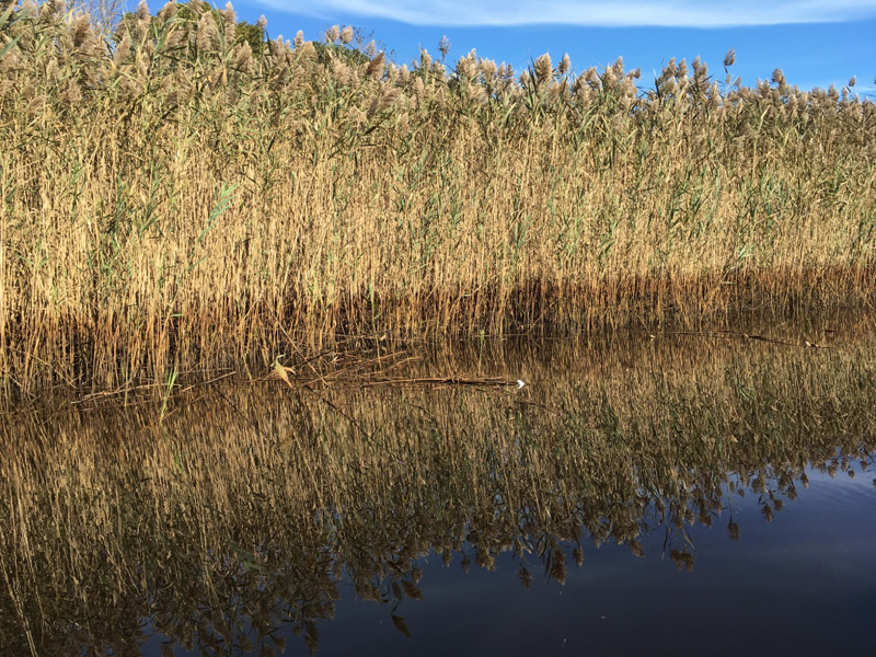
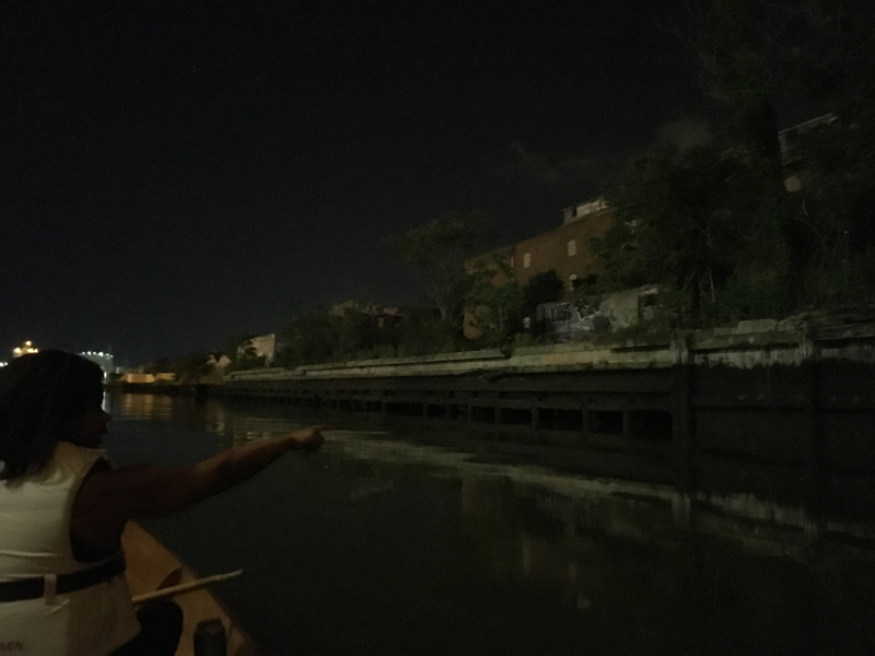
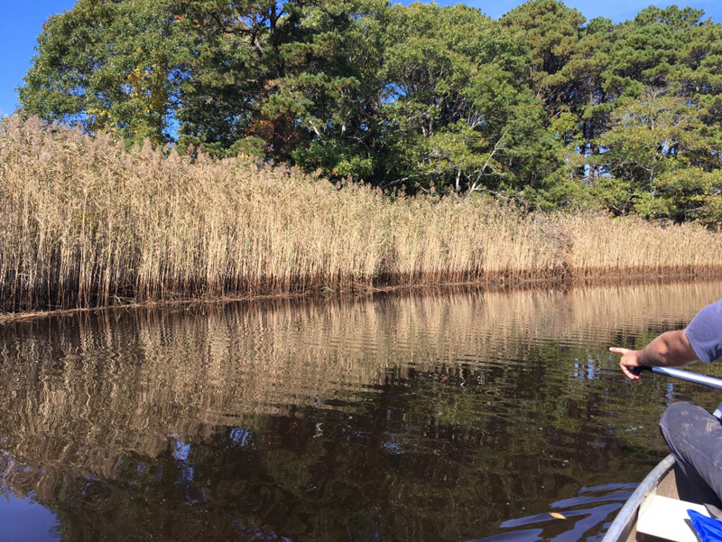
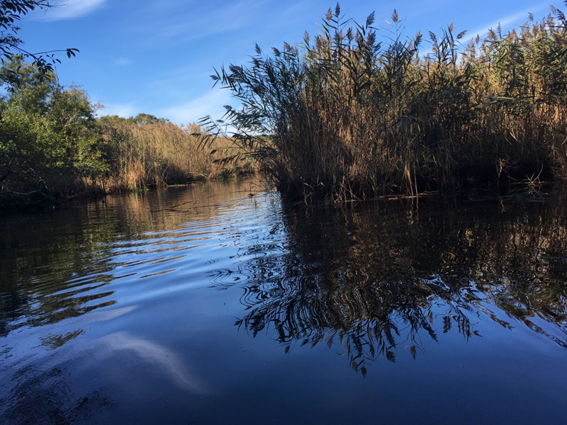
Our boat wound through acres and acres of Phragmites australias, an invasive species that seems to thrive in polluted environments.

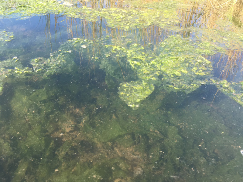
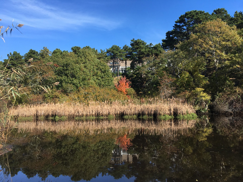
And another plant that I didn’t recognize seemed to be doing VERY well over here on the impacted side of the dike.

“Toxic lettuce” Jeff called it.

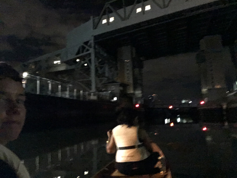
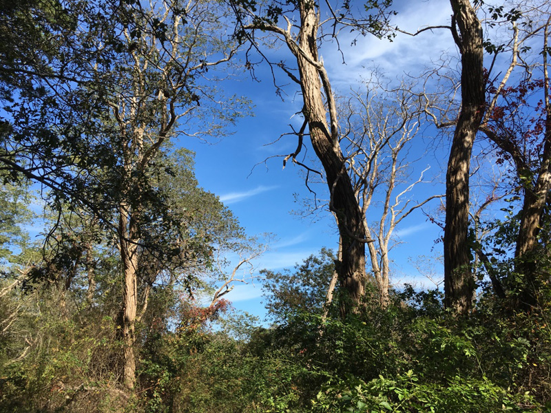
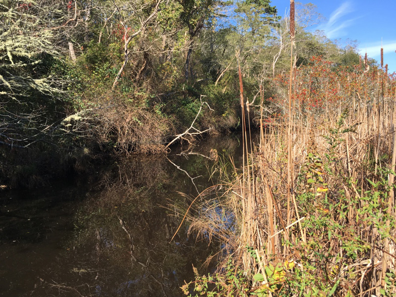
As the river narrowed, the Phragmites gave way to taller trees, and the shore hummed with bugs and birds.

Most of this will die when the salt water tides are allowed back to their pre-1909 levels.

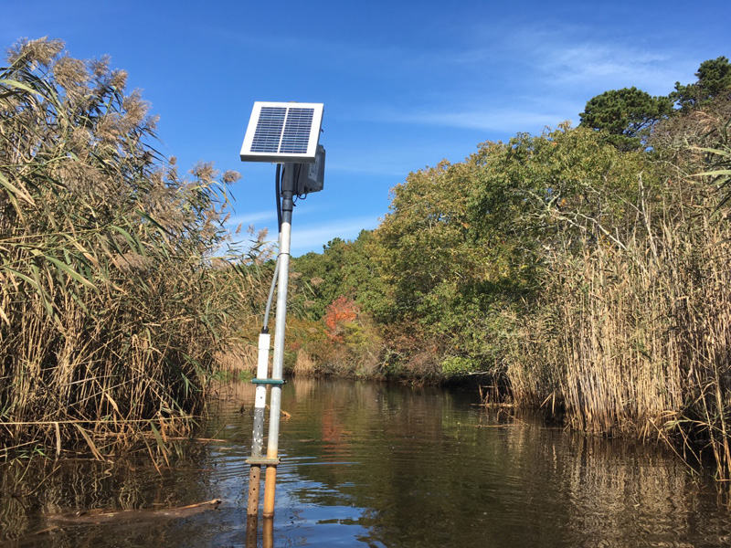
We saw the monitoring equipment from that the National Seashore’s Natural Resource Management & Science division.

The day before Sofia Fox, the Division’s Aquatic Ecologist sat down with me to tell me about the Herring River restoration project,

and the complex landscape of interests that surround estuarine recovery and change in Wellfleet.

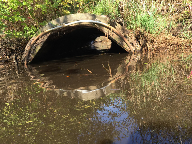
The herring river narrowed down to just one pipe, and crossed under a sand road.

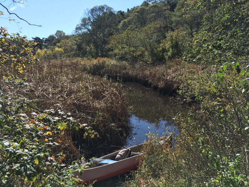
We passed a woman walking, and told her that we were paddling up the Herring River.

“They want to turn this back into a marsh.” she said, glancing wistfully back down her sandy path.

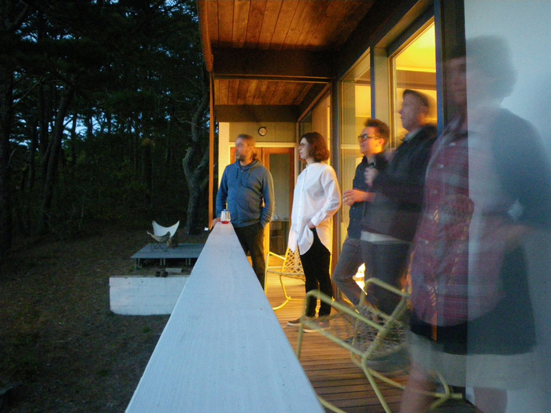
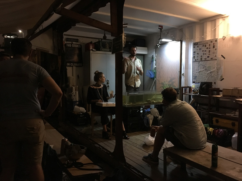
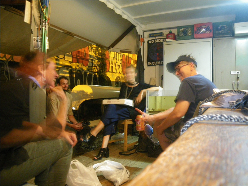
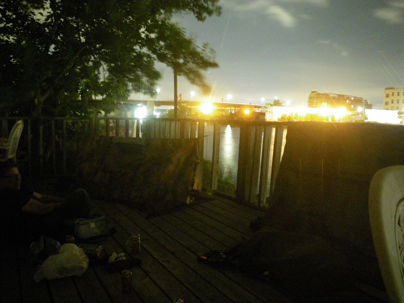
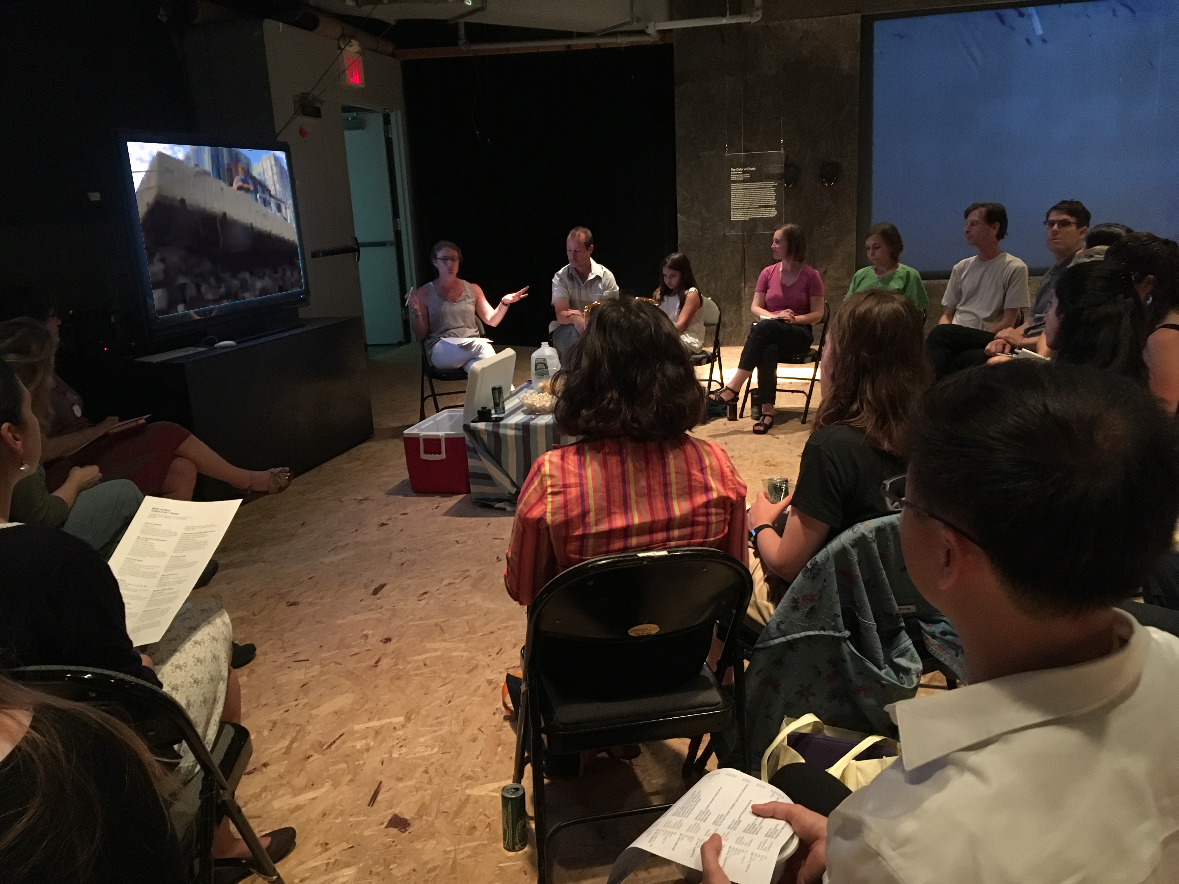
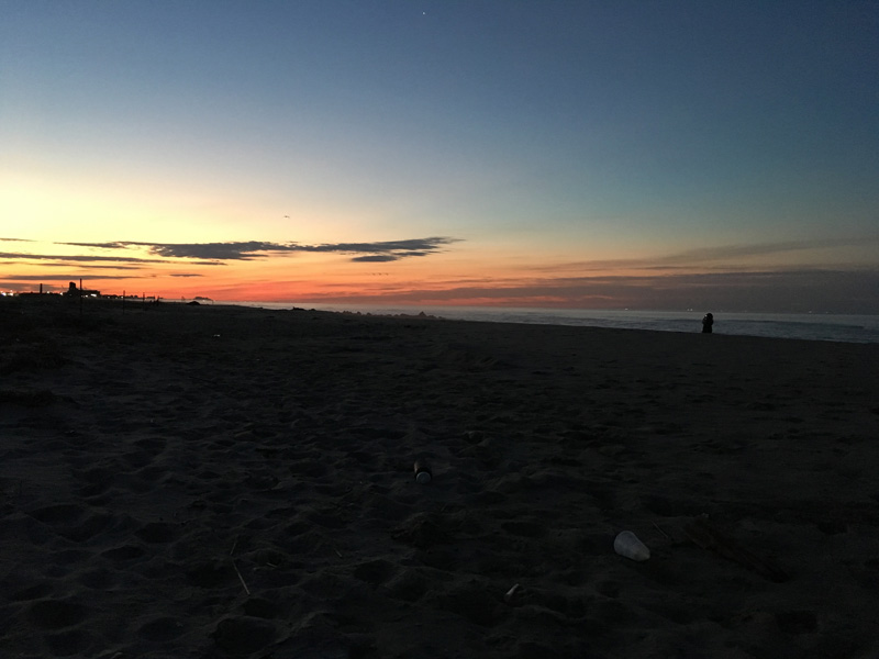
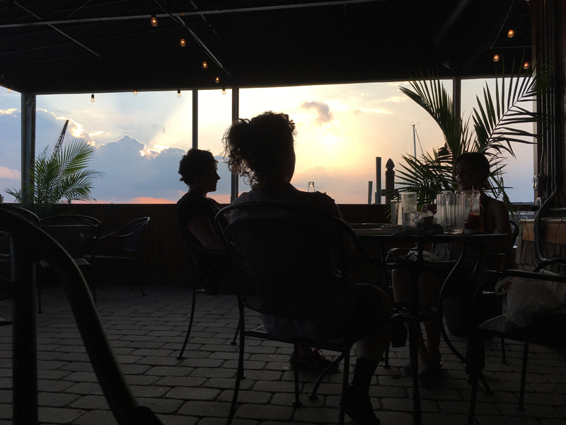
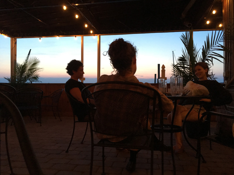
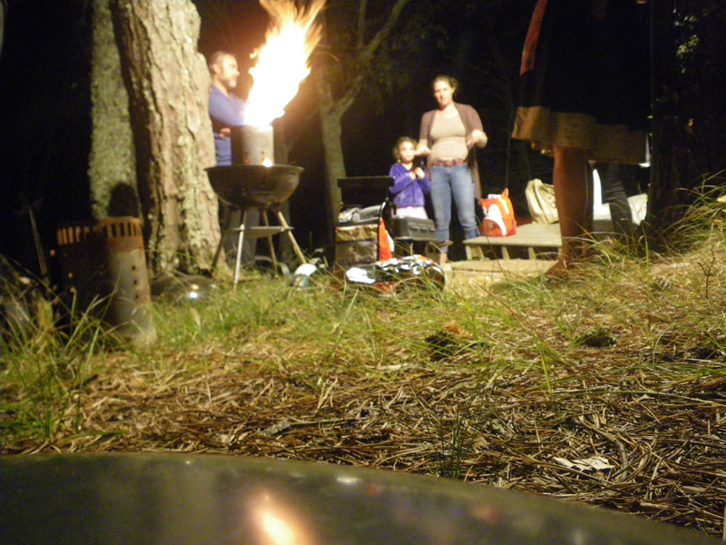
Later that night we watched the sun set from the deck of Weildinger house, with Peter McMahon, the founding director of the Cape Cod Modern House Trust, and Dylan Gauthier and Kendra Sullivan, artists and curators of the Art/Science residency.

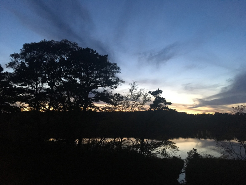
That night I understood the importance Peter’s mission to “fill the houses with conversation” like the ones that were so important on the cape in the 1950s.

It felt like we had bridged some gap in time.

The next morning a dense fog settled over the pond.

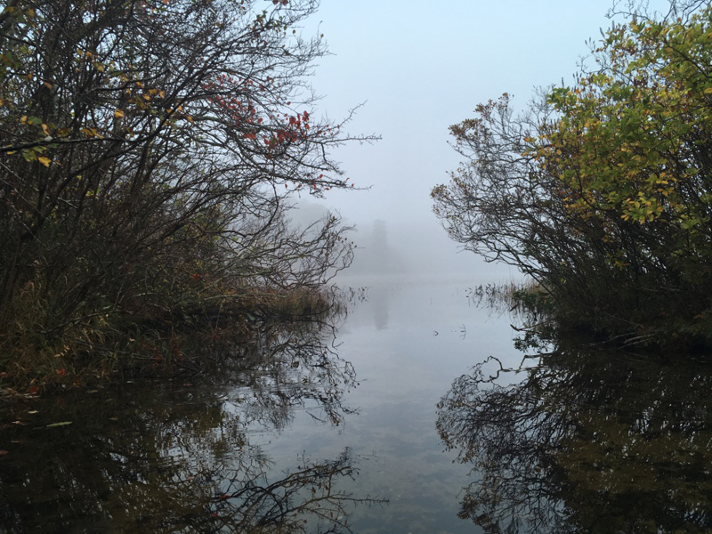
I pulled the boat out, traveling from one pond to the next; Gull, Higgins, Williams, Herring …

The ponds are glacier made, spring fed, and supply freshwater to the Herring River Estuary. It would be possible to go from here to where we ended our paddle yesterday, clear across the cape,

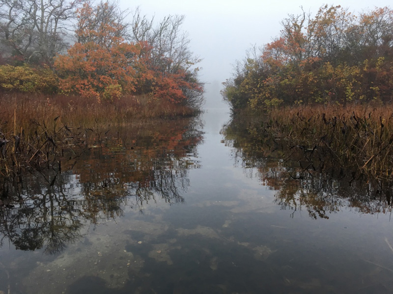
but I didn’t go that way.

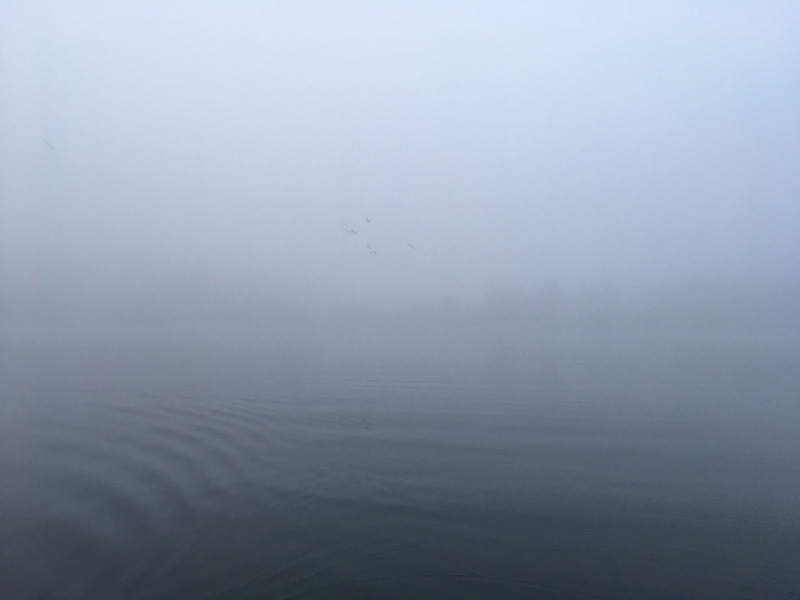
I paddled to the middle of the pond, until I couldn’t see the bank on either side.


Bragging Rights

The Newtown Creek with Daphne Fitzpatrick

August 13, 2017

When I saw Daphne Fitzpatrick at a Newtown Creek Alliance Community Visioning Workshop in June, I asked if she would be game for a 24 hour trip.

It might be uncomfortable to try and spend the night in such an active and industrial spot, I warned.

“Sounds great!” said Daphne.

“Do you think there is anyone else paddling around out here today?” asked Daphne.

“I doubt we will see anyone else all day.” I said.

That meant that all the good camping spots would be vacant,

but there are four major sewer outfalls in the southern reach of the Newtown Creek, and you can feel it in the air.

“This whole experience is overstimulating.” said Daphne.

“We could camp in the back of a truck.” I suggested. It would be like our own waterfront condominium.

We decided to keep shopping.

“Now here is a camping spot I KNOW would work.” I told Daphne. It was a kind of balcony on the outer edge of a cement barge. We would be invisible from land, and it looked like the barge had not been moved in years. “We can come back here when we are ready to sleep!”

It was a good thing that we waited.

We stopped by the North Brooklyn Boat Club.

Willis Elkins brought pizza for dinner,

and we watched a slideshow by one North Brooklyn Boat Club member about his river trip in Ireland. “This is an ancient Crannog,” he told us, “a home built out over the water for security.”

Just then we saw our cement barge being pushed out to sea by a tugboat.

“It’s a good thing we didn’t camp there, we would have ended up in the Atlantic Ocean!” I said.

“Or yelled at by an angry tug boat operator.” Willis suggested.

“We need a new Crannog.” I told Daphne.

Willis and Rachel Steinberg joined us for a midnight paddle in ‘Rainbow Sheen,’ their newly crafted work boat.

The entire shore here is lined with the forgotten back yards of industrial Queens,

like this porch that some folks from the North Brooklyn Boat Club call “Cat Goose Beach.”

“I’ve never seen anyone come out here,” said Willis, “and certainly not on a Saturday night.”

Willis and Rachel paddled back, and we set up camp in the dark.

Sounds floated out over the water as if we had passed into another dimension,

It reminded me of  The City & the City a science fiction book by China Miéville about two cities that occupy the same geographical space but are separated by strong psychological barrier.

“Well, we may have been the only ones paddling around on the Newtown Creek today, but we are definitely not the only ones sleeping outside in New York City tonight.” Daphne pointed out.

It was true, and the feeling of remote detachment now carried the weight of my own culpability.

I didn’t think that I was sleeping, but suddenly it was morning.

We rolled back up our tents,

and paddled out into the East River,

to see the new Hunters Point South Park.

It was so new in fact, that it wasn’t quite ready for visitors.

This used to be one of my favorite places to come, back before all the construction.

Part of me always wants things to stay the way they are, even the construction sites.

Another part of me can’t wait to see what is coming next.

Along the waterfront, you kind of get to have it both ways.

The tide will always be this way, influenced by the gravitational pull of the sun and the moon, the water will rise and fall just like it did before our ancestors crawled out of it 430 million years ago.

Above the waterline, however, there is always something new, especially right now, especially in New York City.

By the way, these sidewalks are kind of narrow, right? “Do these meet ADA regulatory standards?” wondered Daphne.

A beautiful park on the East River will be great, but it’s basically the front yard of a an expensive new condominium development.

What about the rest of the Newtown Creek?

The population density in the southern part is actually much greater than the tip of queens, but there is not as much access to the water here. It is completely surrounded by gas companies, parking lots,

and empty industrial relics facing right up against the water.

We walked through one of the buildings and talked about the possibilities like imaginary real estate agents.

What was this place, and what could be here in the future?

Either way, it probably won’t be for us,

and the greatest park in New York is right here, out in the water!

“Remember how I said I was overstimulated yesterday?” Daphne asked,

“Well, I still feel that way,” said Daphne, 24 hours later.

(metal pieces, found and arranged by Daphne Fitzpatrick on the Newtown Creek, August 13, 2017)


Gowanus: Night and Day

with Elisa Leshowitz, Dan Nadel, and Carla Edwards

June 24, 2017

In June, the Tide and Current Taxi participated in the Works on Water exhibition at 3DL, organized by Emily Blumenfeld, Clarinda Mac Low, Eve Mosher, Nancy Nowacek, Katie Pearl and Sarah Cameron Sunde.

I contributed a live stream video of every trip,

so if you walked into the gallery on June 24th, you would have seen Dan Nadel and Elisa Leshowitz, and I paddling through the Gowanus Canal.

You would have been transported across a landscape of leaf debris, plastic bits, and things floating out of the sewer.

It’s always strange to travel by water in the city, like time away from time, forgotten and parallel. Now it was additionally strange, to think that people might be watching on TV a few miles away.

“This is where I would hide a dead body, if I had to.” said Dan Nadel. “Well now you know where to find me if I ever go missing.” said Elisa.

I wondered what our conversation sounded like online. Maybe it was like listening to the radio in traffic, when you tune into a talk show just after the joke,

Only here the was no punchline, just the shoreline scrolling past, thing after thing.

Back at the gallery, a panel discussion was underway. “Can using urban waterways empower people?”

A few hours later, I tried to make that very case to a group of friends in Brooklyn,

but no one seemed interested in climbing back into the Gowanus canal to camp overnight.

Around midnight, Carla Edwards agreed to the adventure.

We brought sleeping bags, Italian cookies, and a few cans of beer.

Sounds from the highway and surrounding industry carried out across perfectly still water.

As far as we could see in any direction, the city was perfectly still,

except of course for the rats.

“That is one of the places I thought we could camp.” I confessed.

“Let’s just try and stay up all night,” we decided.

With our only objective to actually spend as much time as possible, we moved slowly, letting our eyes rest on every detail,

but around dawn we had another idea,

sunrise at Fort Tilden.

I wanted something good for the live-stream on it’s last day, but my equipment stopped working.

Without the pressure of broadcasting the live-stream,

I looked out and just saw…

Industrial Ecology

with Babbie Dunnington and Essye Klempner

June 18, 2017

In New York City, “NO DUMPING” signs often indicate a good place to launch a boat.

They appear along sections of the coast that are unmonitored, unkept, where dead-end streets meet neglected coves,

often horribly polluted like this one, covered in goose poop and dead sharks,

a perfect place to begin our adventure.

I was exploring the North Shore of Staten Island with Essye Klempner and Babbie Dunnington,

Essye is a sculptor/painter/curator/organizer who’s work, whether making mushroom prints or organizing reading groups, is always smart, relevant, and focused on the mingled terrain between nature and culture.

Babbie is an activist and landscape architect who researched this area last year in her studio class at City College. 

Her and her classmates Anna Jalazo, Kate Jirasiritham, Veronica Tyson-Straight, Sarah Toth, Wing Tang, Jacqui Leboutillier, Craig Shaw, Kenia Pittman, Robynne Heymans, and Margaret Mulligan compiled all their class’s design ideas in this map featured in a presentation called “Towards an Industrial Ecology” at the Building the Outer Boroughs symposium at Brooklyn College.

One of Babbie’s contributions was an idea to make community docks all along the North Shore based on her belief that “interaction with toxic ecology is a necessary step toward remediation and stewardship.”

I couldn’t agree more.

Also, it’s fun to be here, free from roads and sidewalks, moving slowly and taking in the mystery of our surroundings.

Another map from Babbie’s presentation points out some disturbing facts, not mysterious at all, concerning environmental racism – “The placement of low-income or minority communities in the proximity of environmentally hazardous or degraded environments, such as toxic waste, pollution and urban decay.”

The energy infrastructure along the north shore completely cuts off access to the water in one of the most densely populated (and poor) sections of Staten Island.

The New Jersey side seemed a little more accessible,  industry merged with apartment buildings, marinas, and people fishing.

Back on the New York side, we floated past factories that stood like the barricade of a giant fortress.

The only problem was that we weren’t exactly floating past. We were paddling hard against the wind and waves, and starting to get tired.

We tied off on a navigational marker,

and quickly found out that it was against the rules.

Later on, Babbie posted to the internet, “You can get a ticket for roping your tiny boat to a buoy but what is the punishment for dumping oil, poisoning the water, decimating the oyster industry, leaving entire ships, factories to rust into the river until it’s too toxic to swim, unsafe to fish. Is there a police quota system to crack down on that? Who is going to protect us from this slow violence?”

Out here, the scale of global capital, and its unintended consequences were all visible, tangible, and close together.

Our mission was to spend the night camped out somewhere on  Staten Island and we wanted to check out all our options,

so we tied up the boat,

and drove to the southern part of the island.

If you remember Babbie’s map, that’s the area with lots of parks, marinas, city investment, cleaner land and water,

and patio restaurants.

We walked into a pretty, well maintained park, looking for a place to camp, but there was something wrong.

We were being followed.

There was a man walking some distance behind, keeping pace with us, ducking into the woods whenever we stopped.

Maybe it was nothing, just someone out enjoying the evening, but we decided to head back to the North Shore.

We remembered a spot in Richmond Terrace, a half sunken barge, covered with cement,

about 1,000 feet from shore, unreachable by anything but a small boat like ours.

We paddled back out in the dark and set up camp.

“I can’t believe we’re here.” said Babbie. She had seen satalite images of this barge while researching the North Shore and always wondered what it was like.

The morning came just like the night had been, with sounds of machinery and birds all around.

It was funny to be in such a busy spot, yet feel so remote.

The barges that we crawled up to get here the night before were now submerged by high tide.

we paddled to shore, put the boat back on the truck,

and returned to Brooklyn exactly 24 hours after we’d left.

Thank you Babbie and Essye!

from a post by Babbie (@sorcerx )”When your vacation is a boat trip around the toxic wreckage of capitalism #industrialecology”


↑ Return to Top of Page ↑