Sky Mound

November 9, 2018

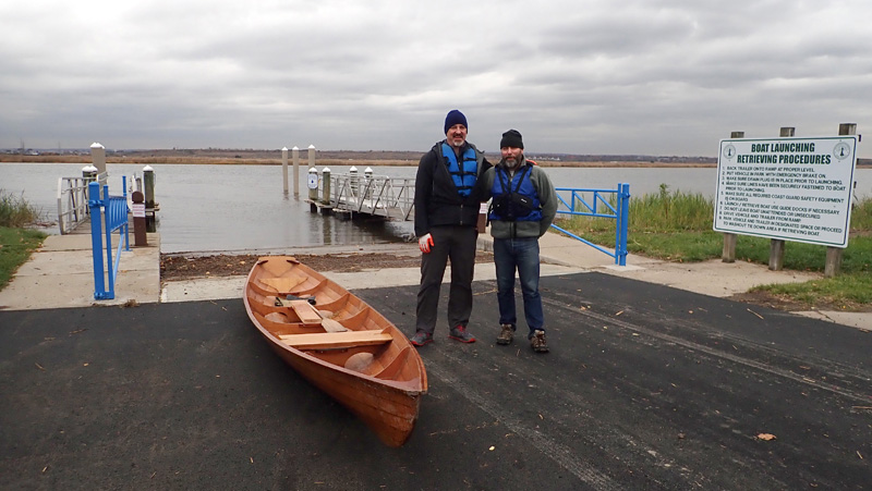
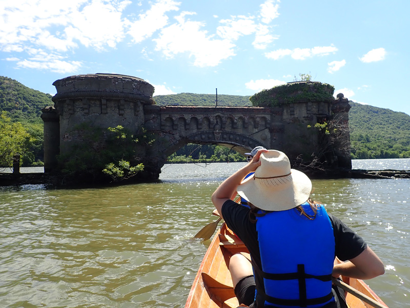
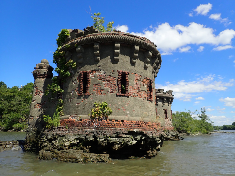
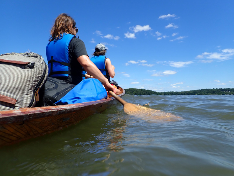
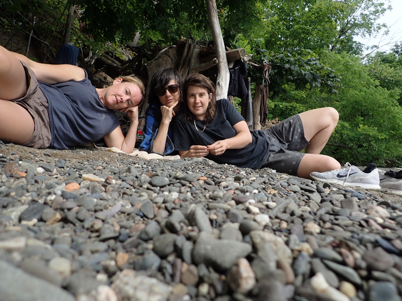
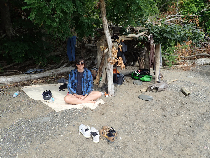
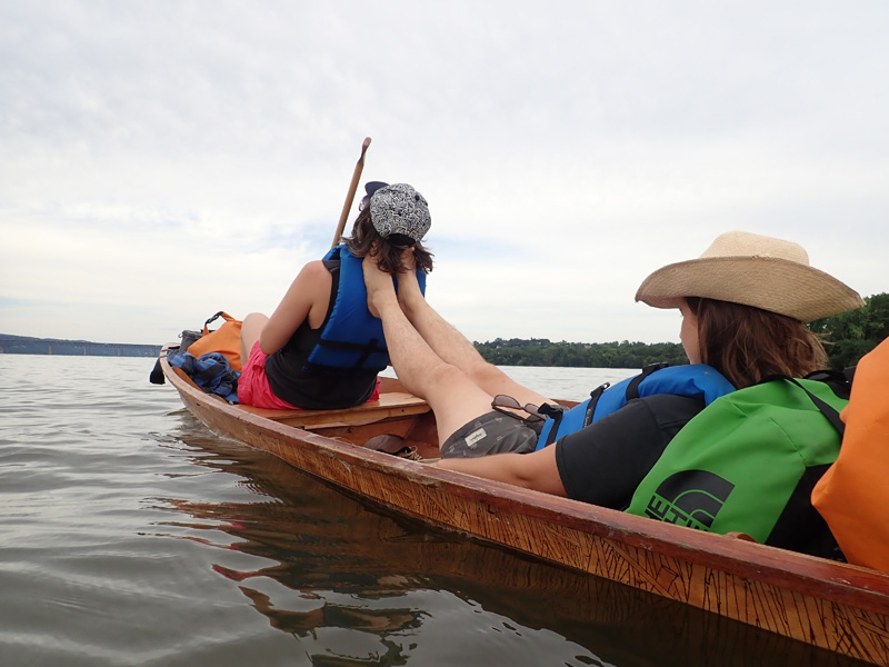
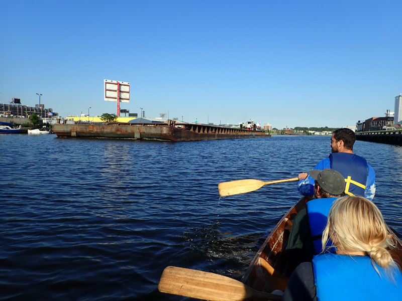
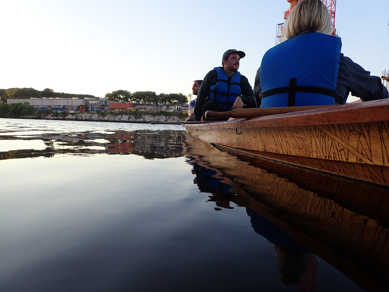
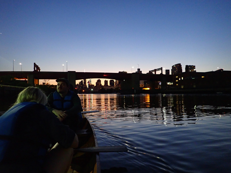
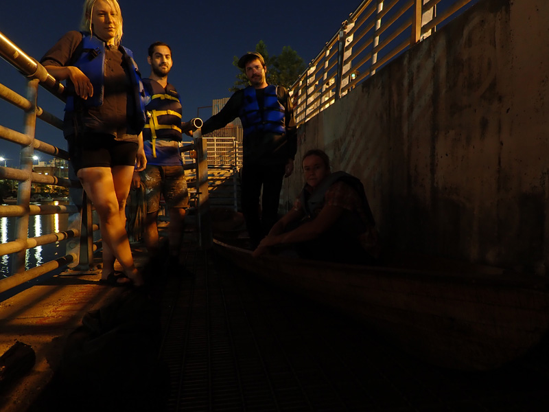
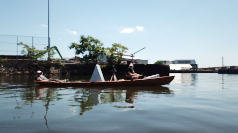
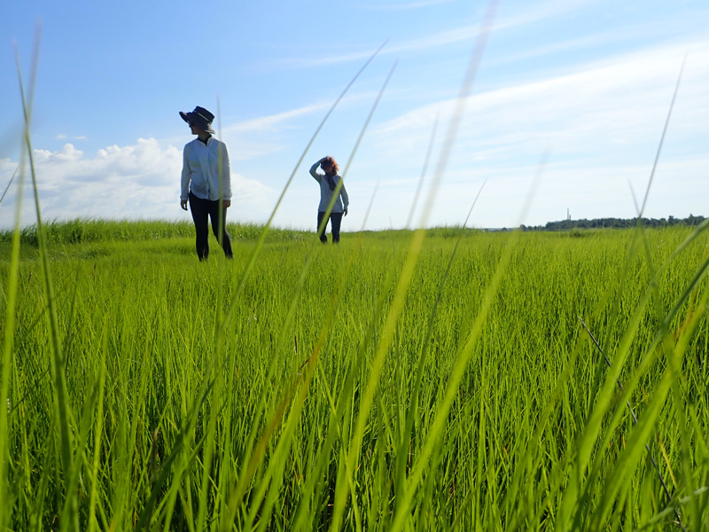
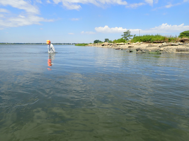
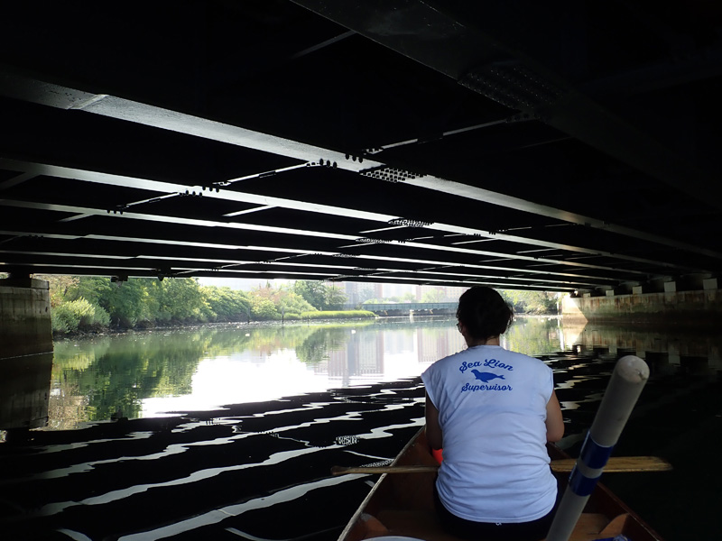
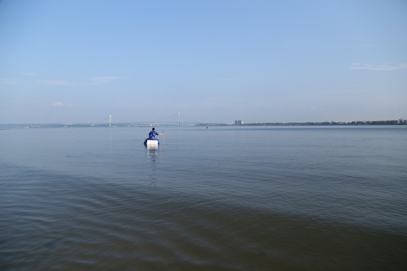
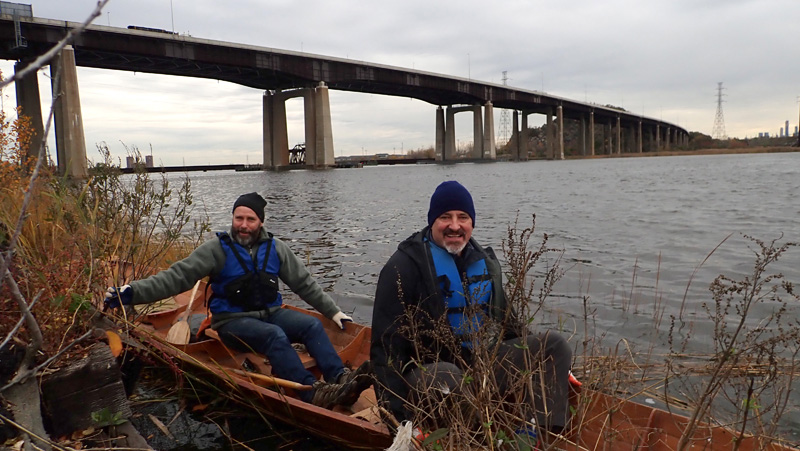
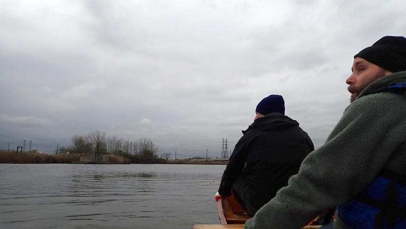
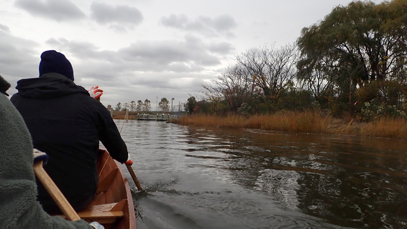
In early November, I took a trip into the Meadowlands with Robert Sullivan and David Diehl.

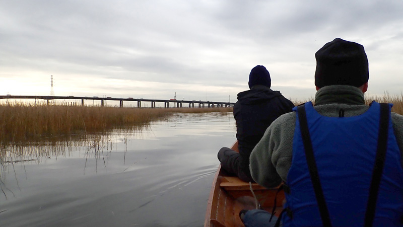
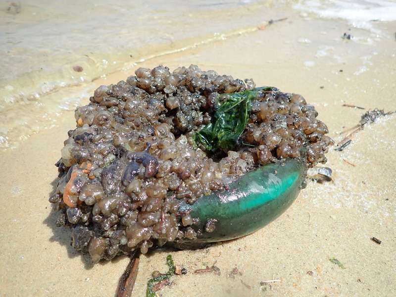
We were heading for Sky Mound, Nancy Holt’s monumental and yet unfinished earthwork.

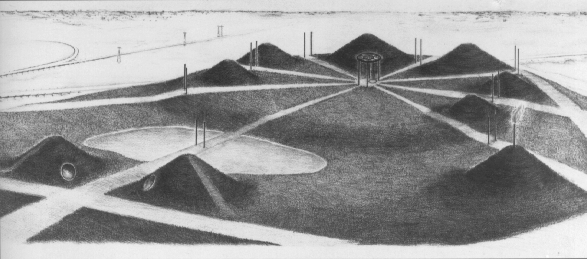
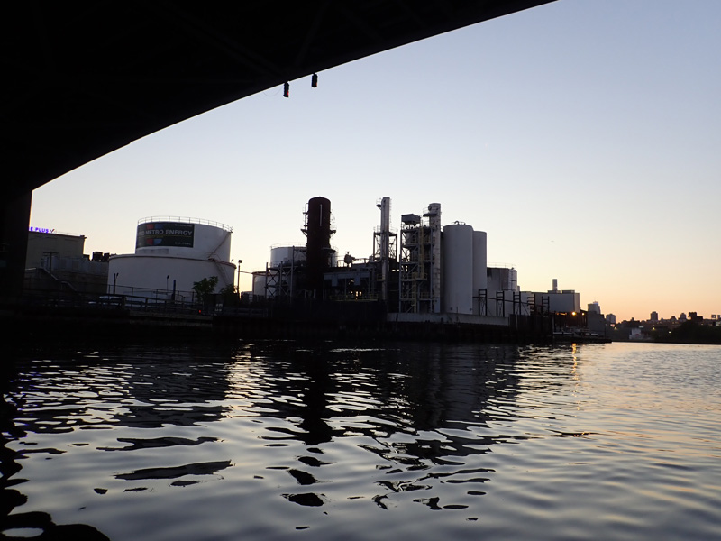
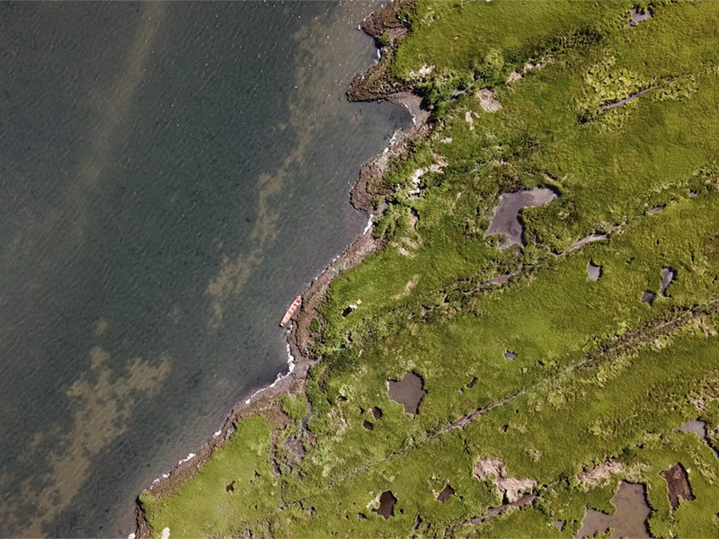
Holt began the project in 1988 with the Hackensack Meadowlands Development Commission, to convert a 57-acre landfill into a public park with giant earth pyramids structured to align with celestial events. The artwork would also make use of garbage underneath the mounds, pipes emitting methane could be a source of power for the surrounding neighborhoods.

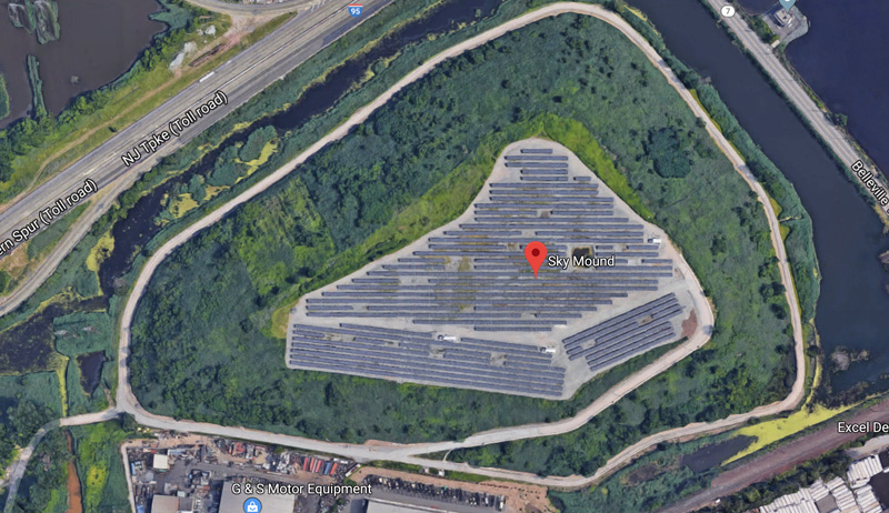
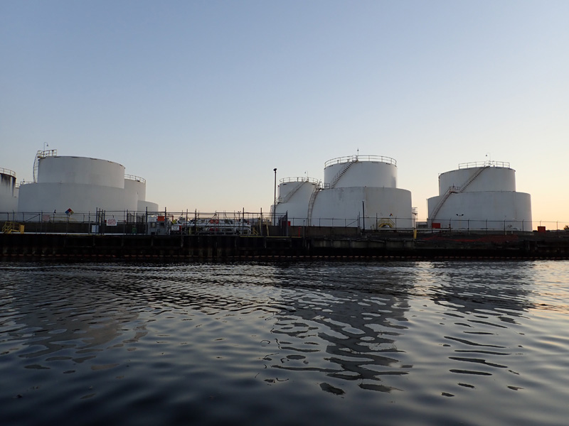
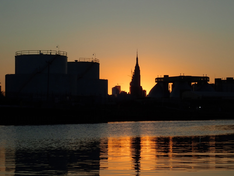
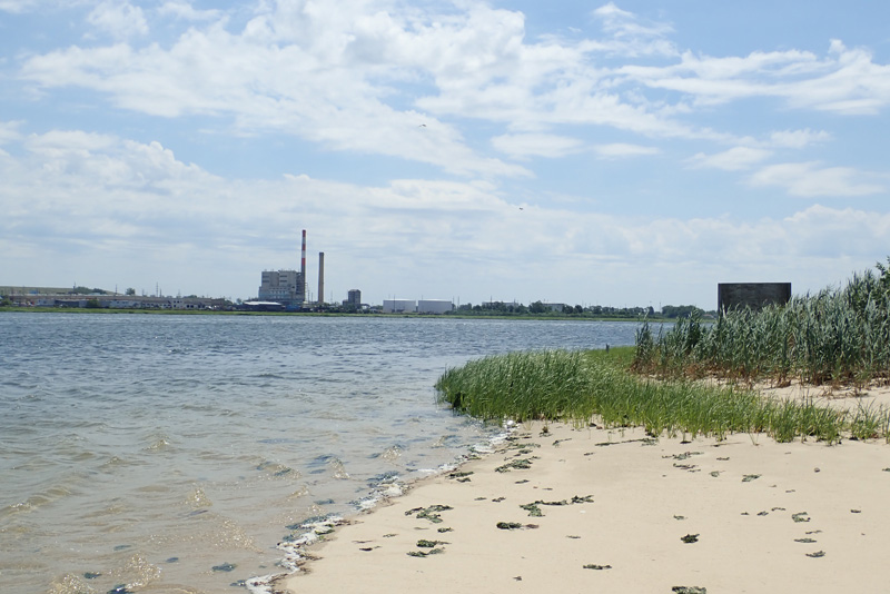
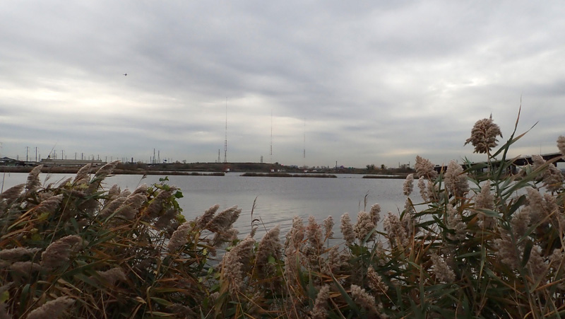
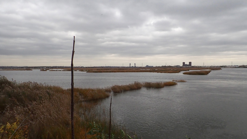
After enclosing the dump, the project was put on hold, and from satellite photos, we could see that the Sky Mound was now a giant solar array.

Robert pointed out that solar panels are form of celestial alignment and they give power to the surrounding neighborhoods, in a weird displacement of the original plans for Sky Mound.

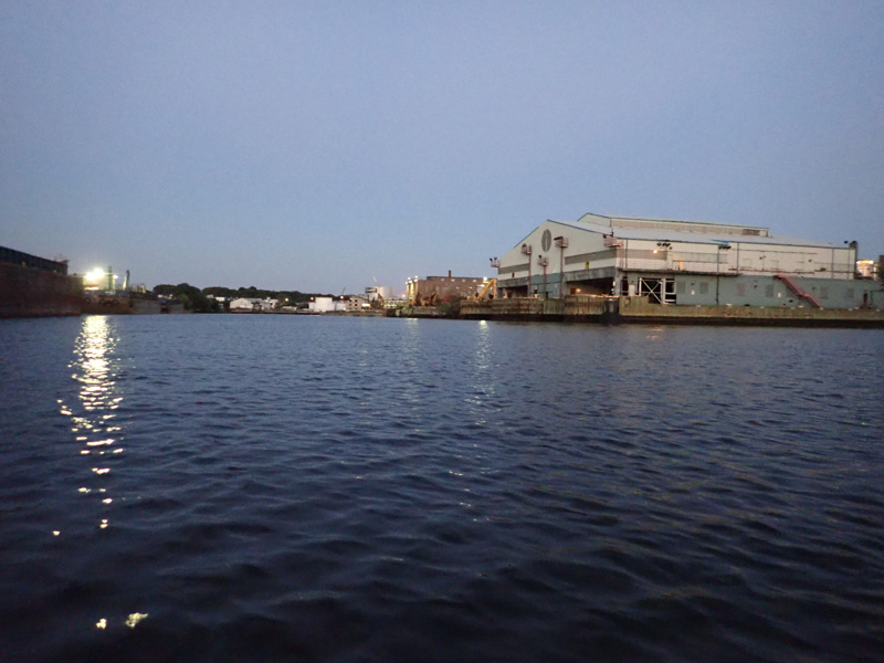
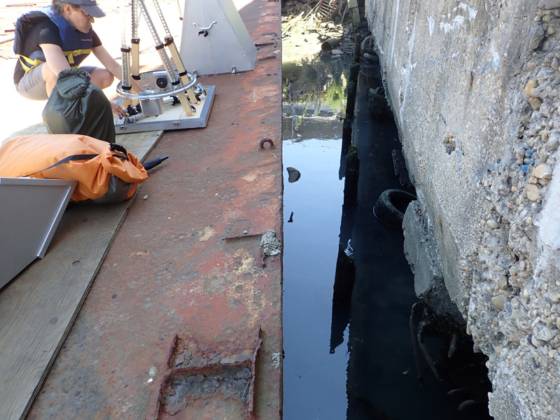
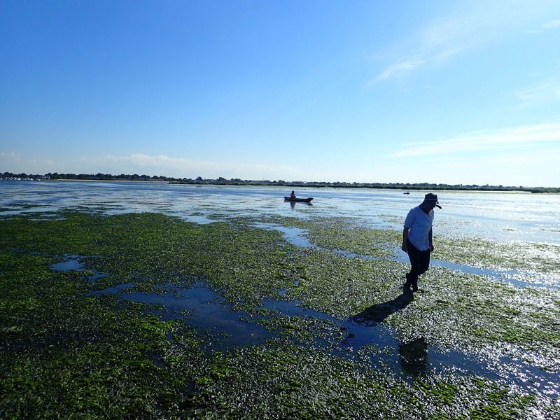
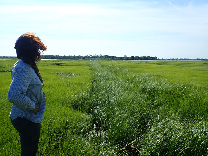
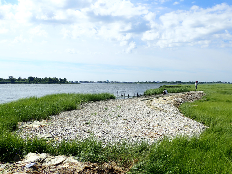
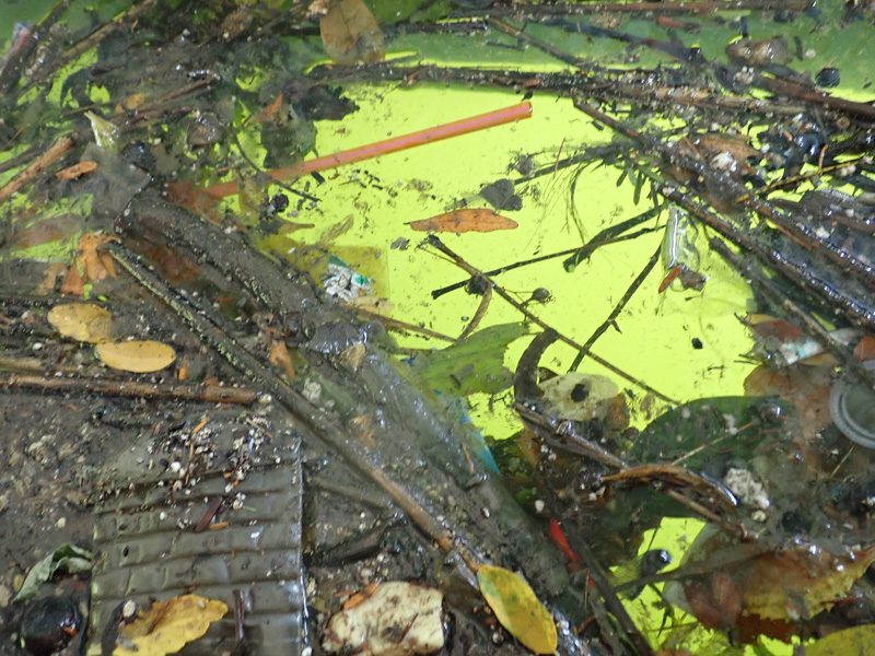
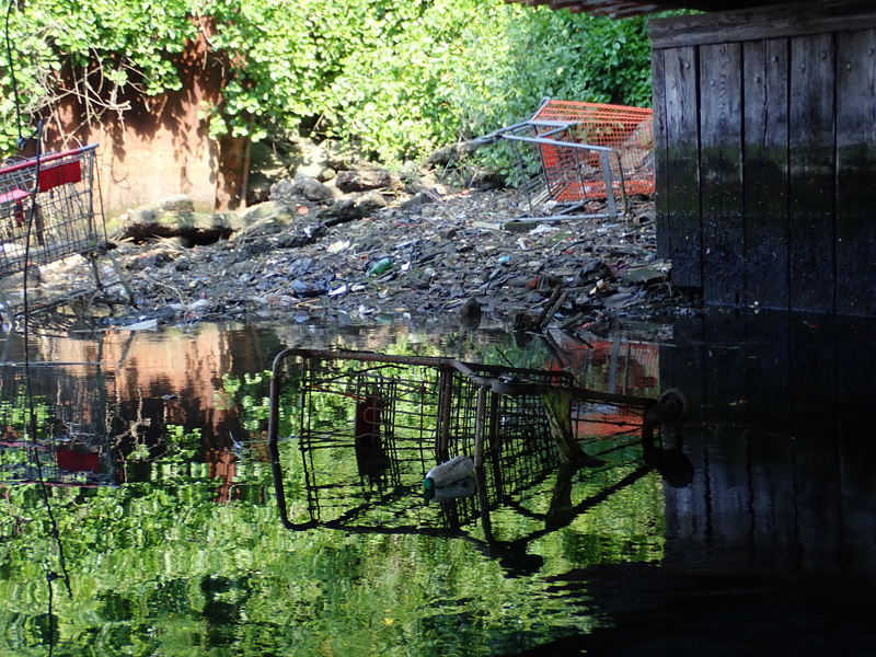
Also, Sky Mound still wasn’t a public park and we were having a hard time getting anywhere close to the landfill.

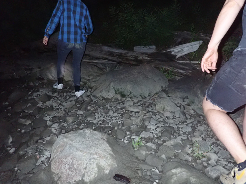
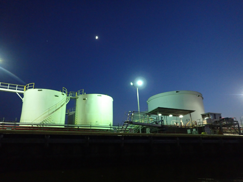
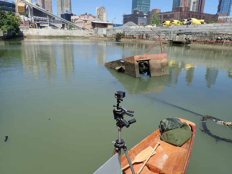
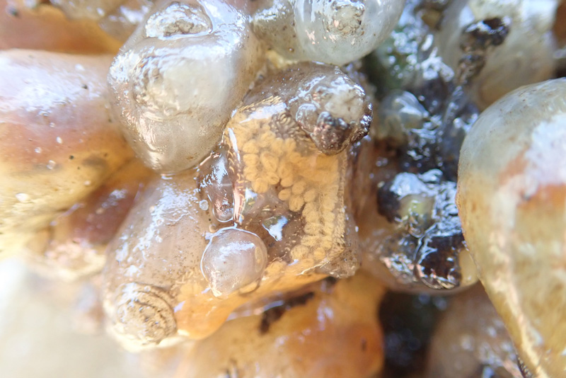
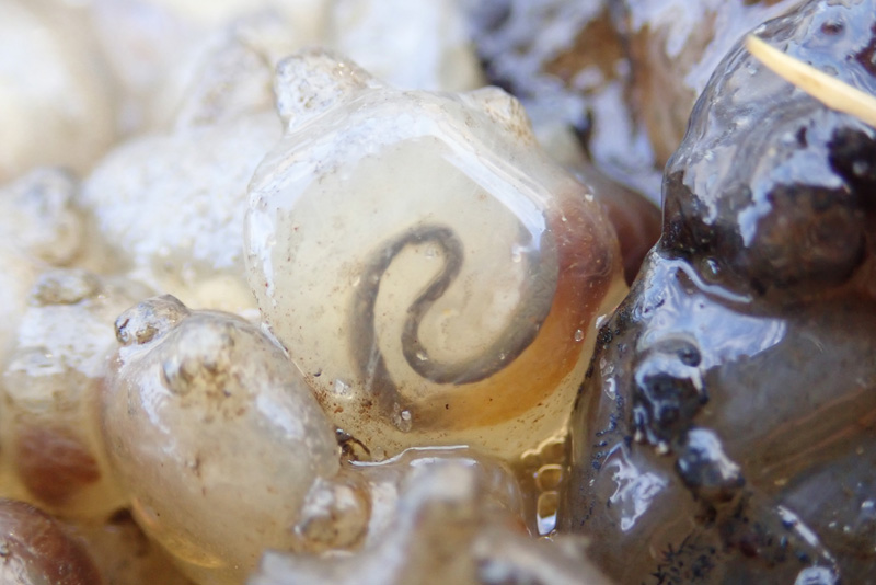
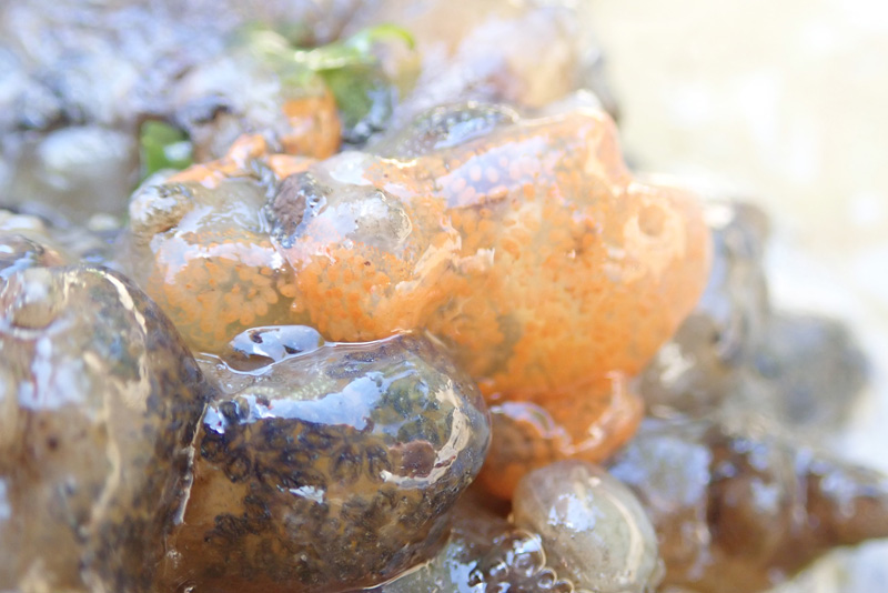
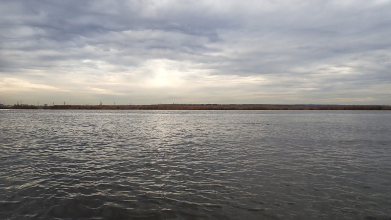
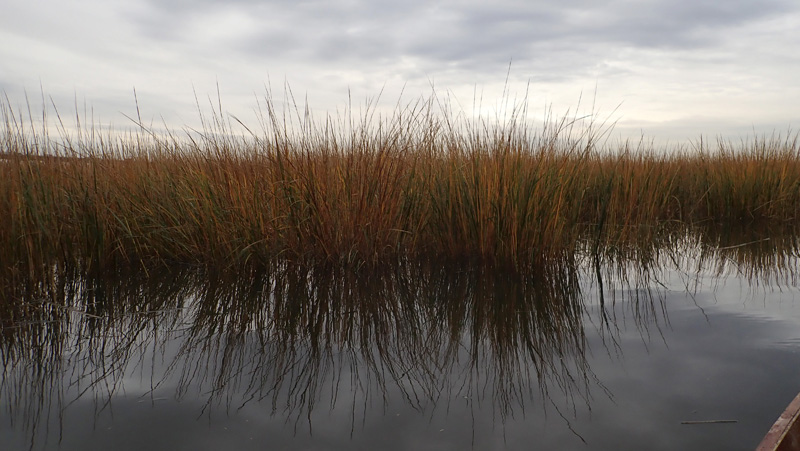
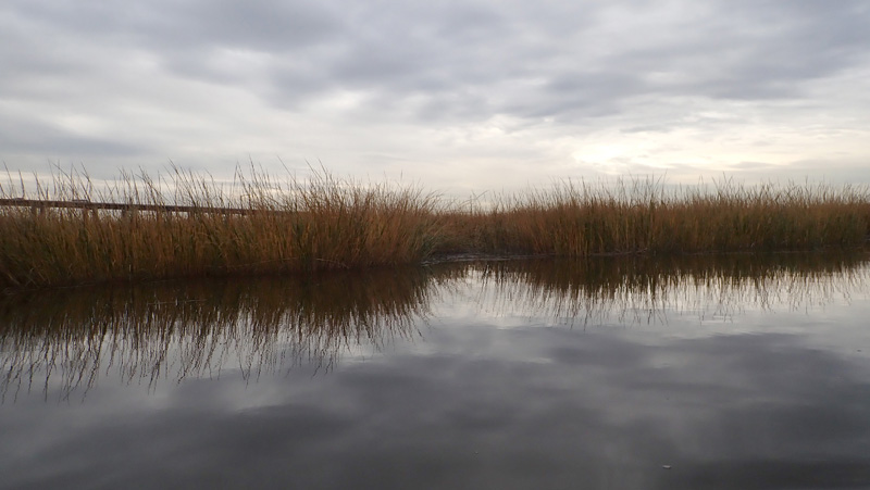
Berms of raised earth surrounded the area.

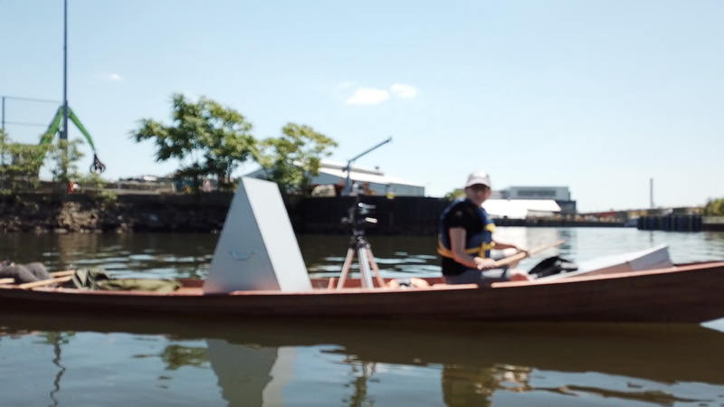
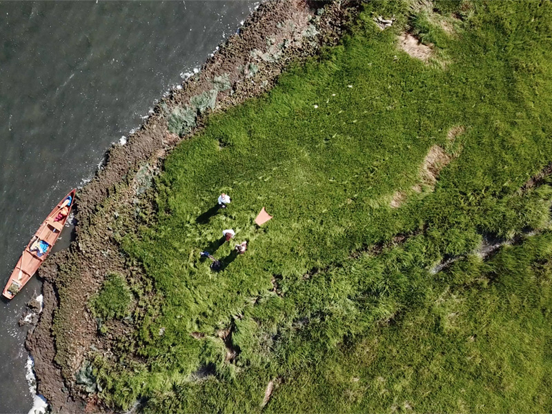
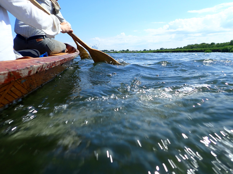
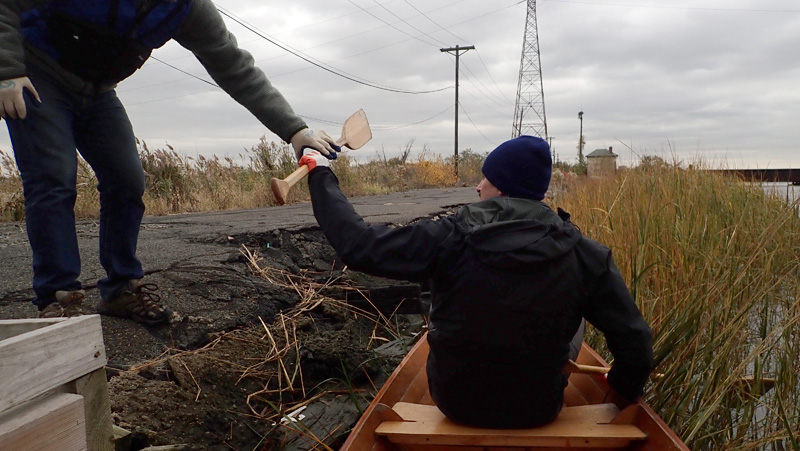
“We just have to haul the boat over one of these.” I said.

Robert kept reminding us about people who had been arrested for doing this very sort of thing.

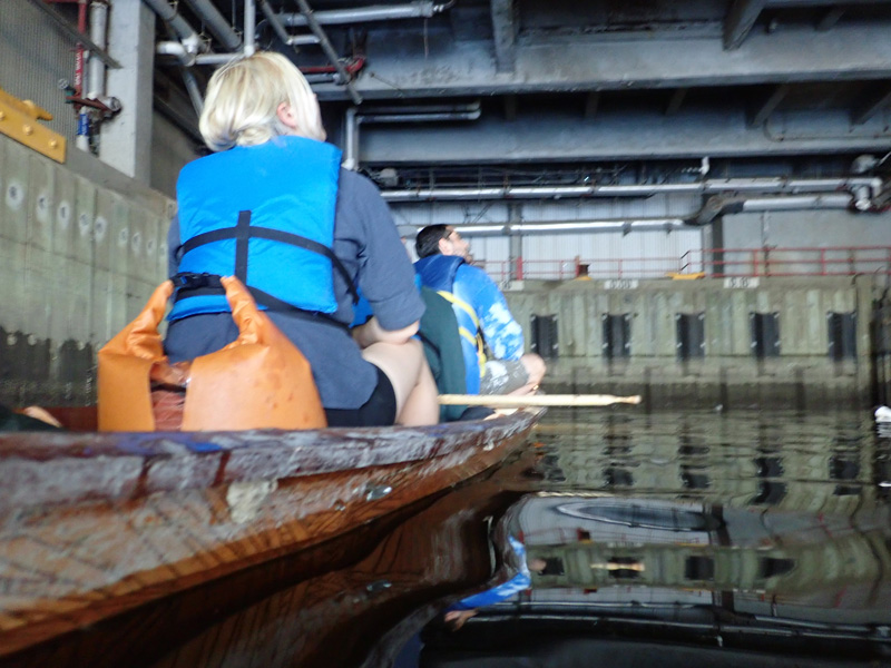
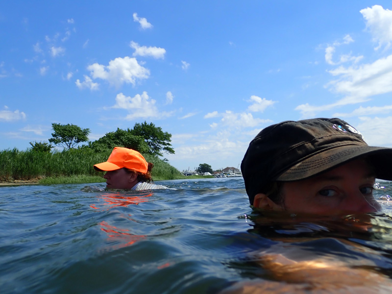
I was worried about getting our feet wet. Climbing in and out of the boat an extra four times was tricky in cold weather, and everything was going so well, so far.

So we took a vote,

and hauled the boat over the berm.

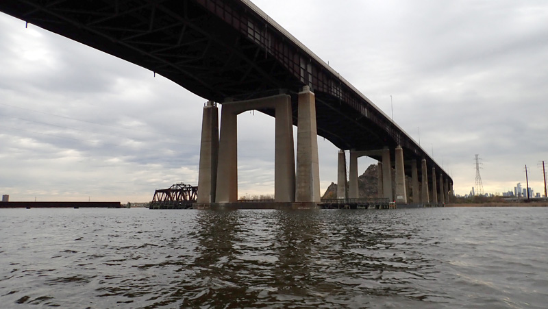
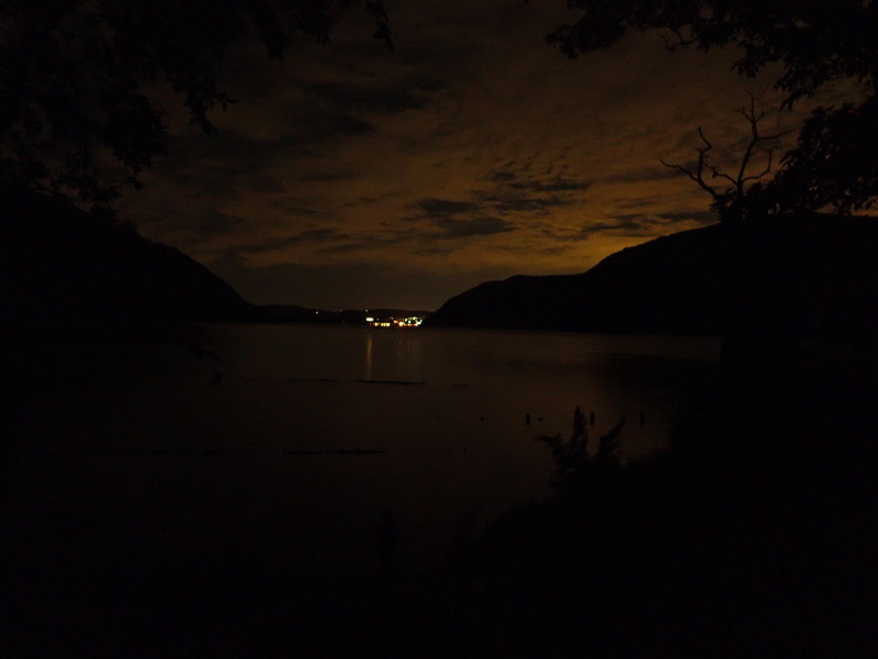
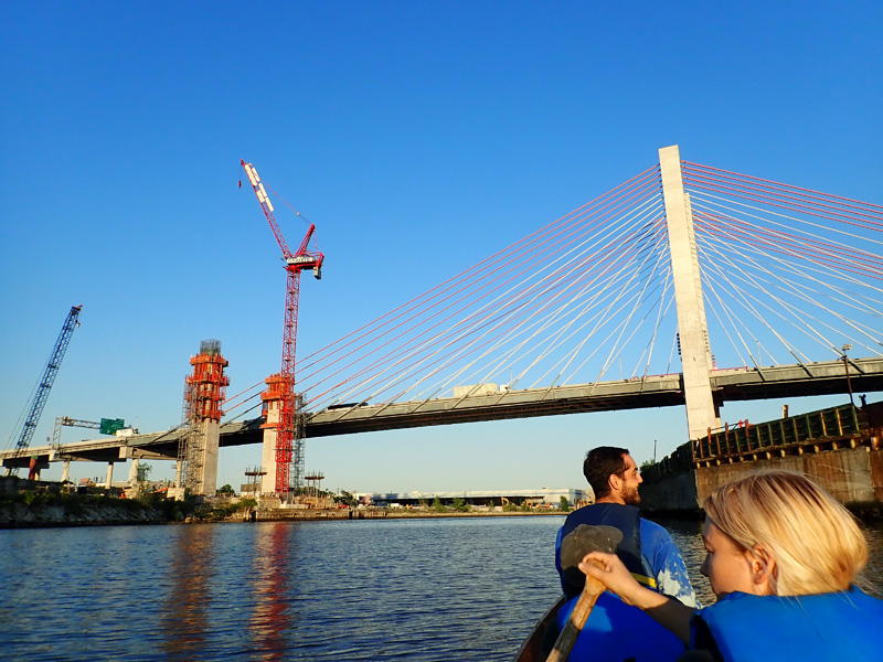
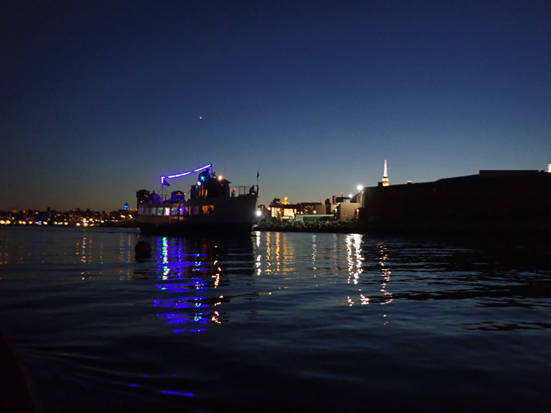
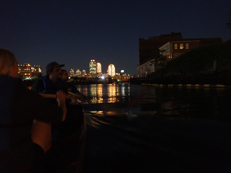
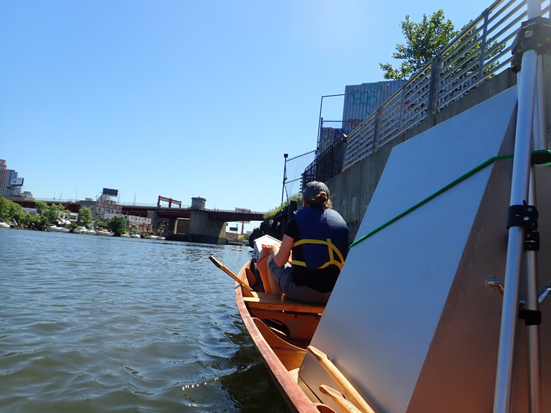
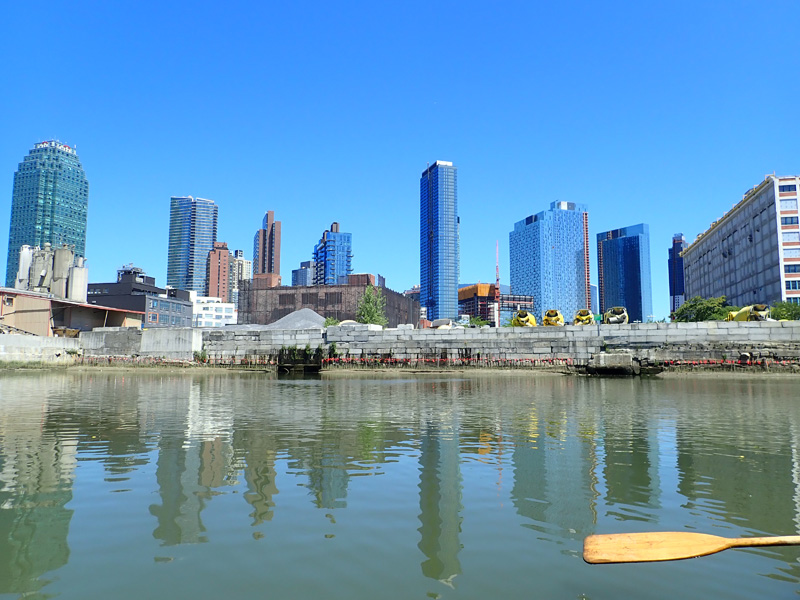
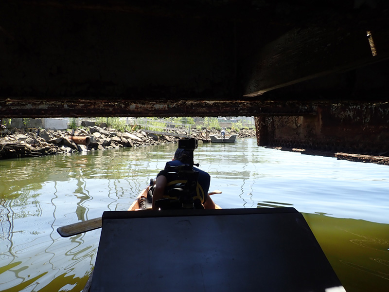
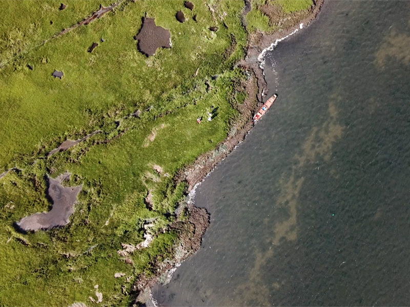
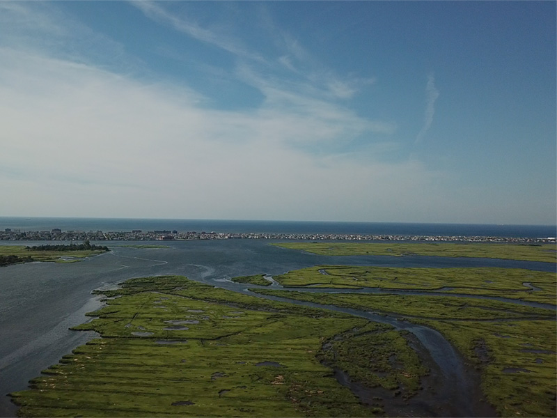
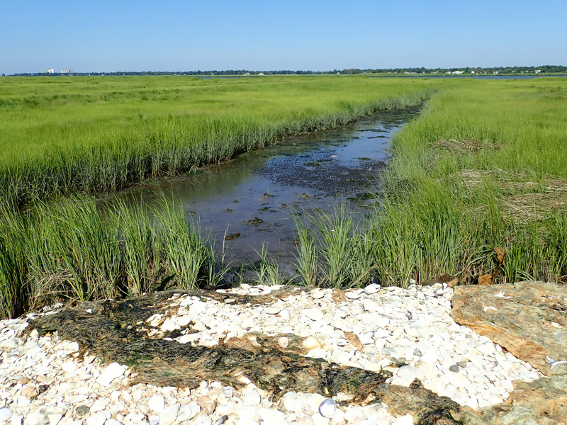
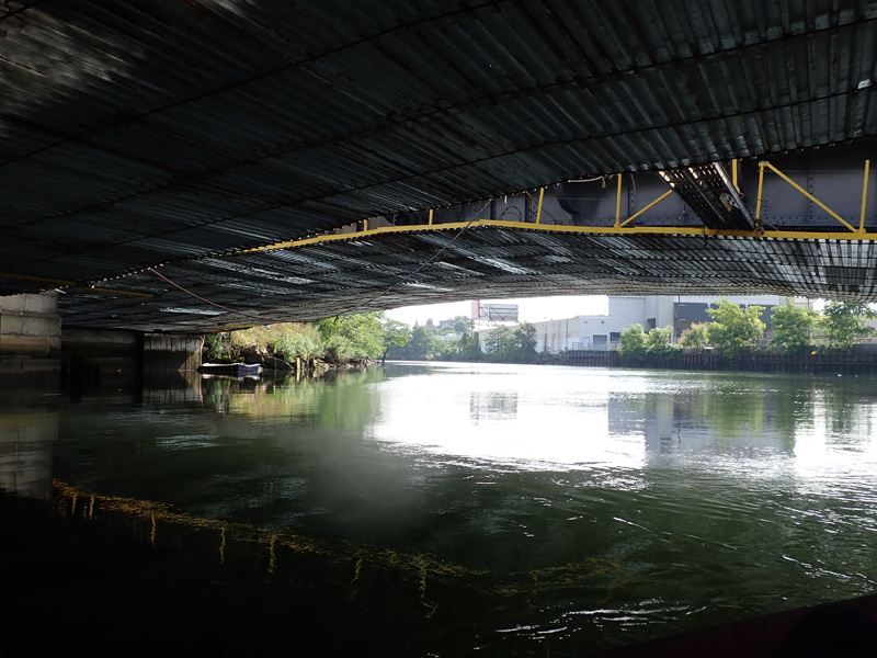
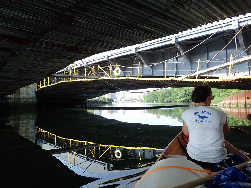
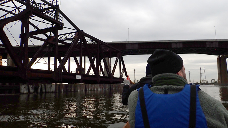
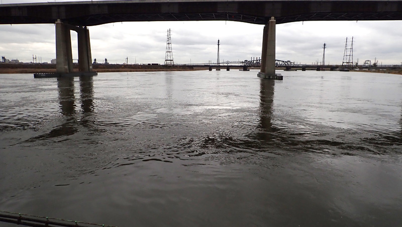
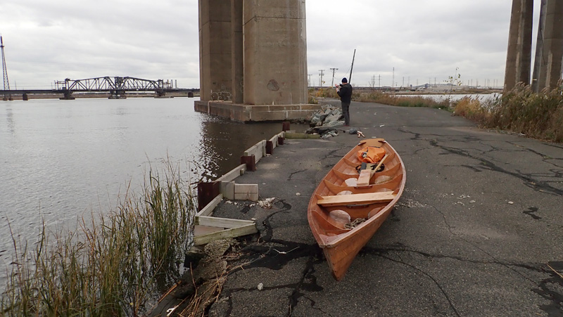
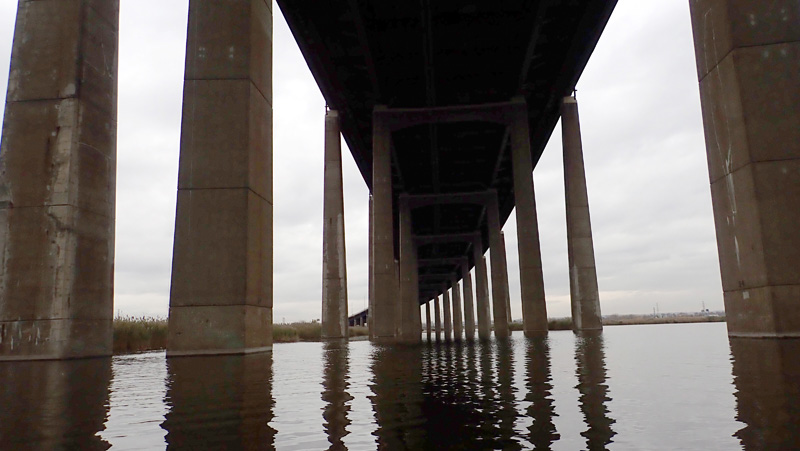
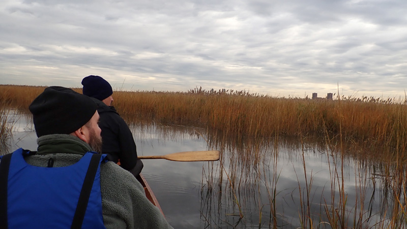
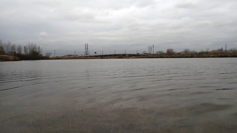
We could see trucks inching along the New Jersey Turnpike a hundred feet above.

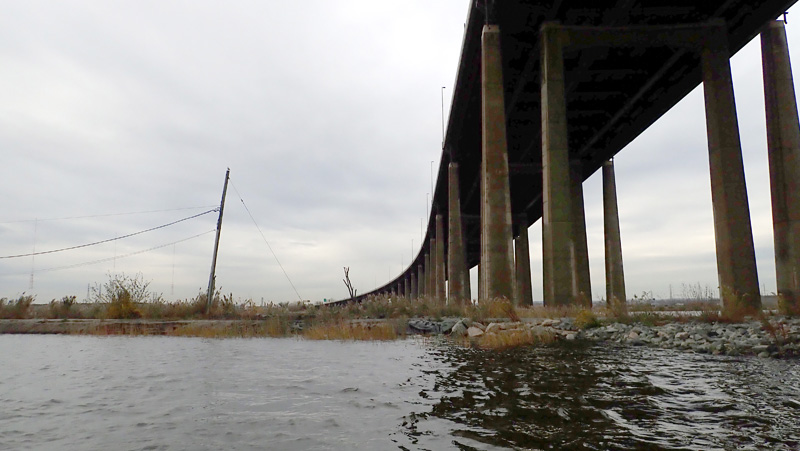
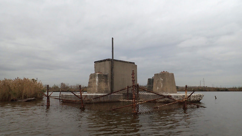
Robert described how an engineering development in the 1950s allowed the bridge to cut straight across the Meadowlands. Using suction caissons “they could draw a line on the map and make a road there, they no longer had to worry about the marsh.”

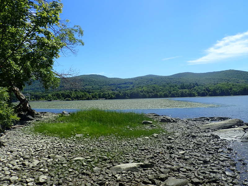
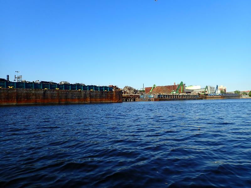
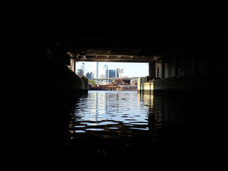
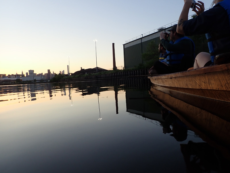
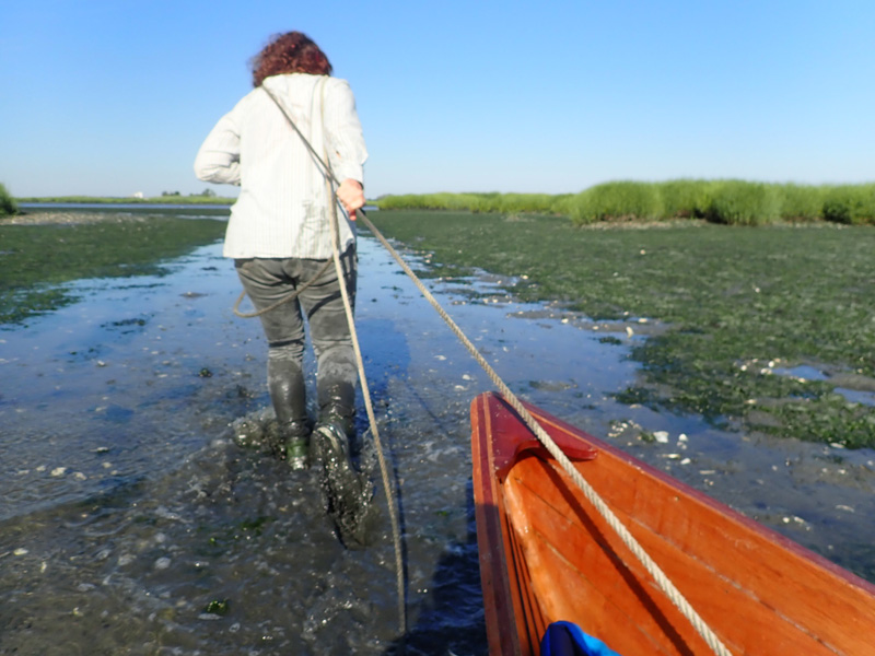
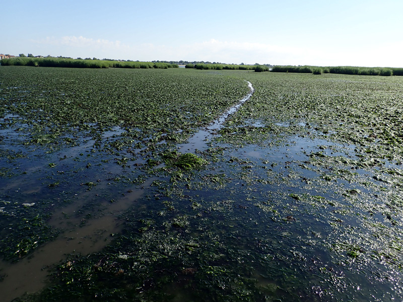
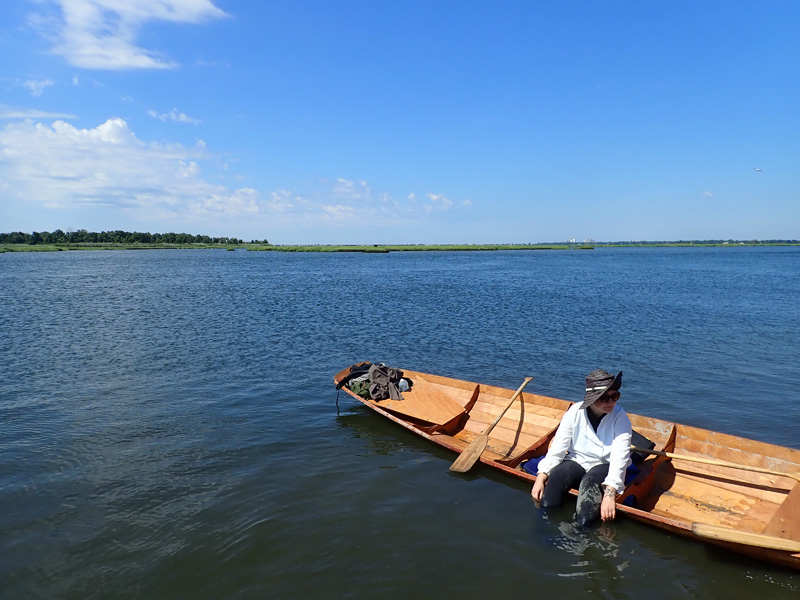
The land under the turnpike still looked like marsh, but a barely submerged berm of gravel separated us from the Sky Mound.

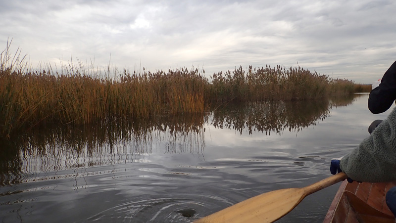
Not wanting to risk another portage, we picked our way along on the deep side of the enclosure.

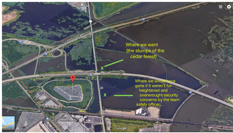
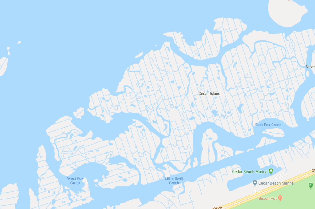
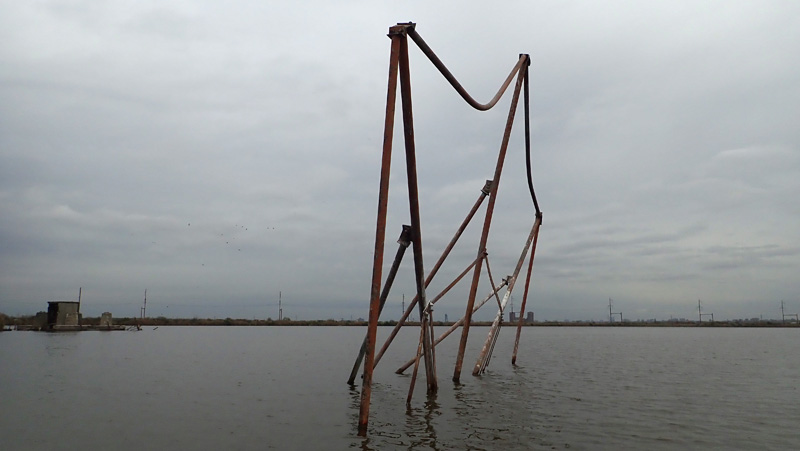
Robert sent us a map the next day to show how close we had been to the Sky Mound.

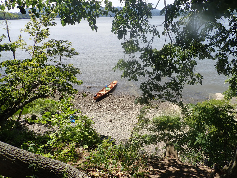
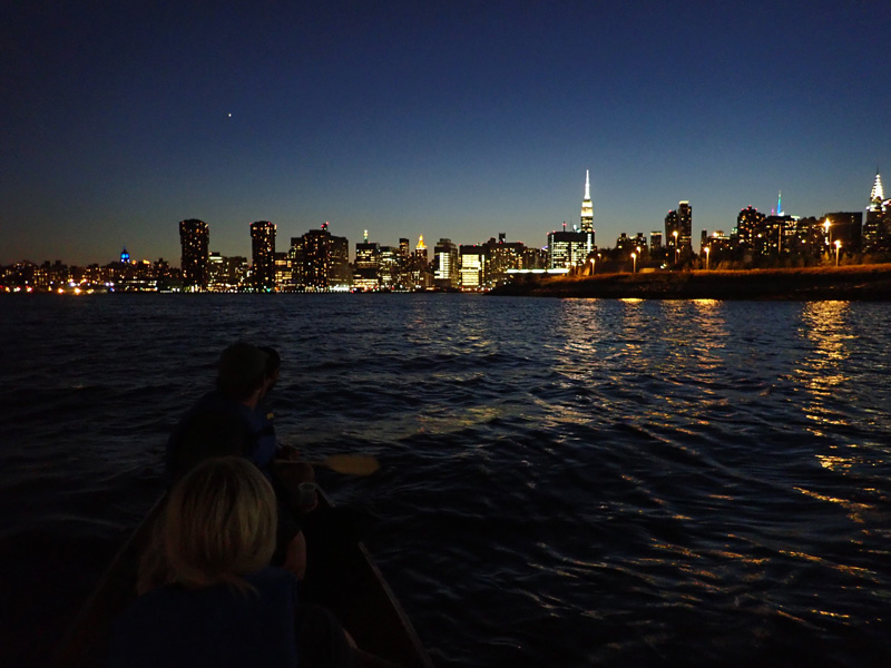
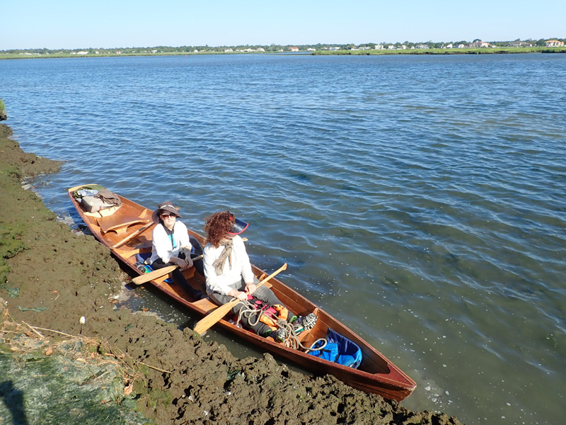
It was difficult to give up and turn around. I had imagined walking across Nancy Holt’s earthwork, and even as a symbol the site had a monumental gravity,

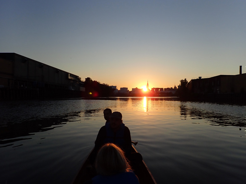
but we hadn’t come to the Meadowlands just to see the Sky Mound.

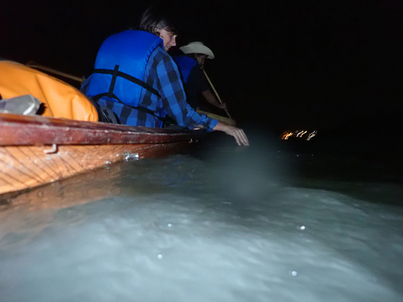
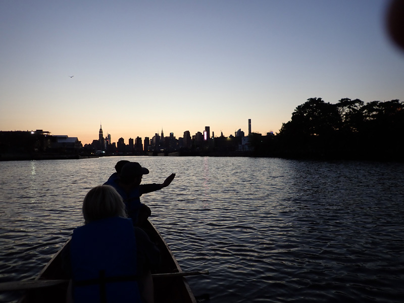
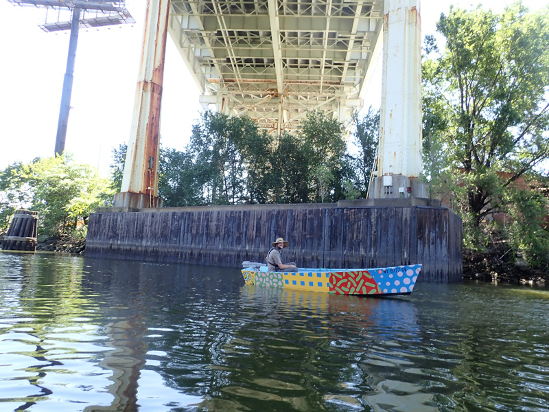
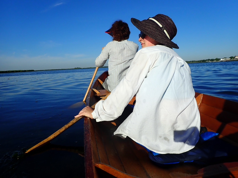
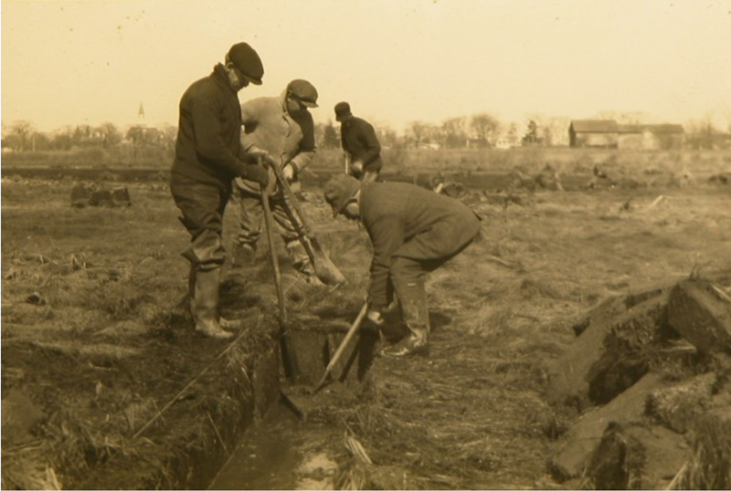
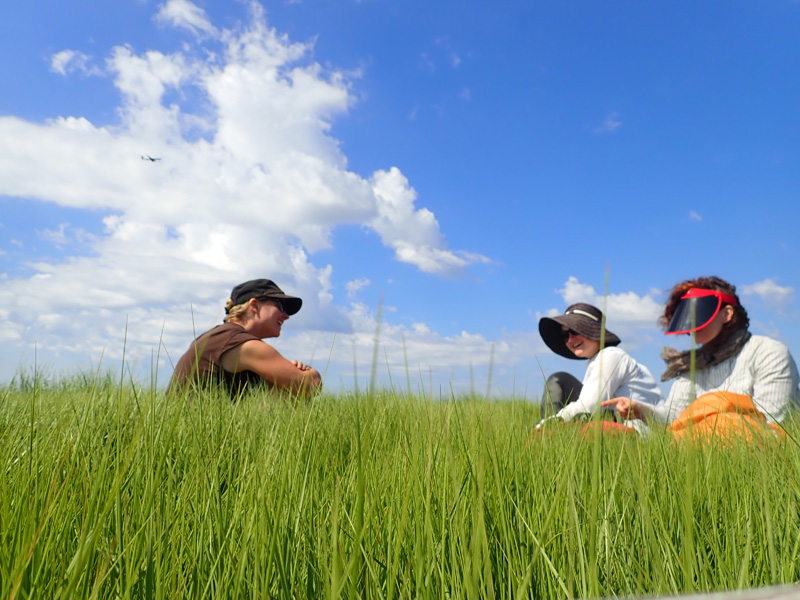
This year marked the 20th anniversary of David and Robert’s boat trip into the Meadowlands when Robert was researching for his famous book.

It was amazing to be here with Robert who had contemplated and written about everything that we were seeing;

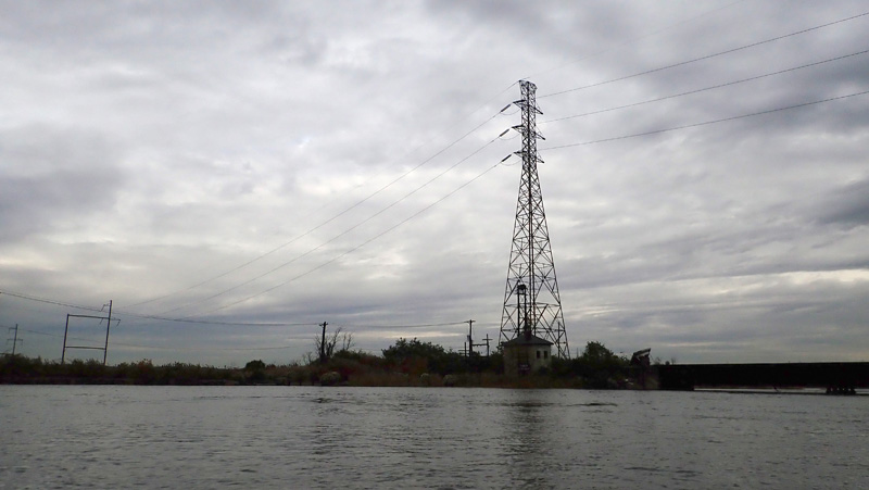
a radio antenna that broadcast the first Frank Sinatra recordings,

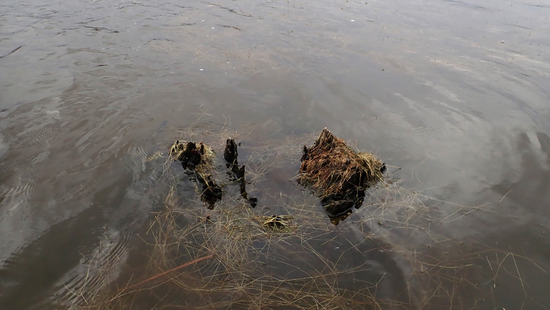
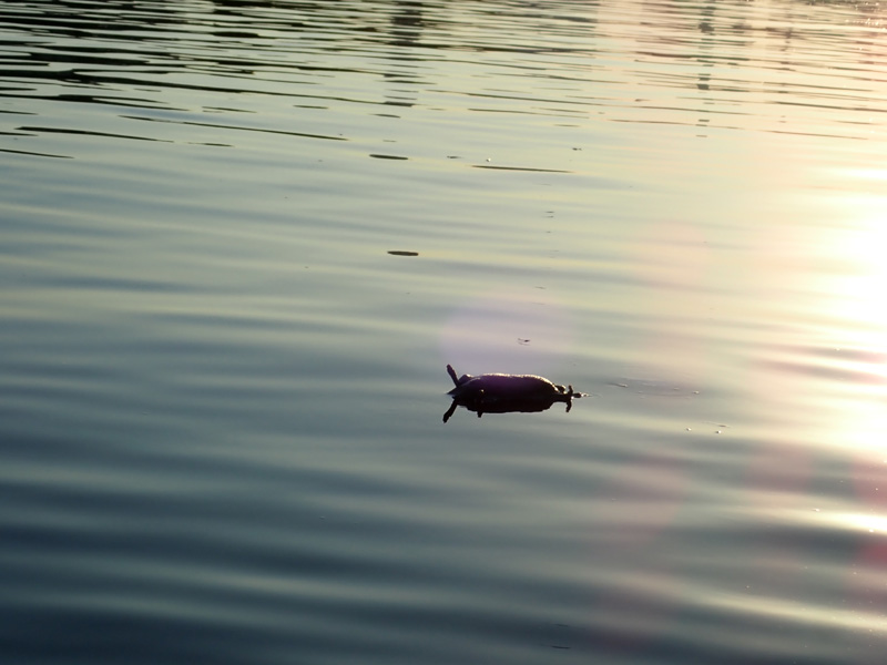
stumps of an old cedar forrest,

it was like the best parts of reading, when your whole being dissolves inside the book,

but even better because now I could hear about all these other parts,

details about David and Robert growing up in New Jersey, about things that happened on their trip, and things they thought about today.

“It’s weird to be back in a place and remember things that you didn’t even know you forgot.” said Robert.

I imagined the boat ride as a kind of interview, where instead of asking questions, we let the landscape float by and ask its own questions,

or not questions exactly, but suggestions,

memories and future memories, of a million people and things.

The next day Robert sent us some old pictures from that first trip 20 years ago,

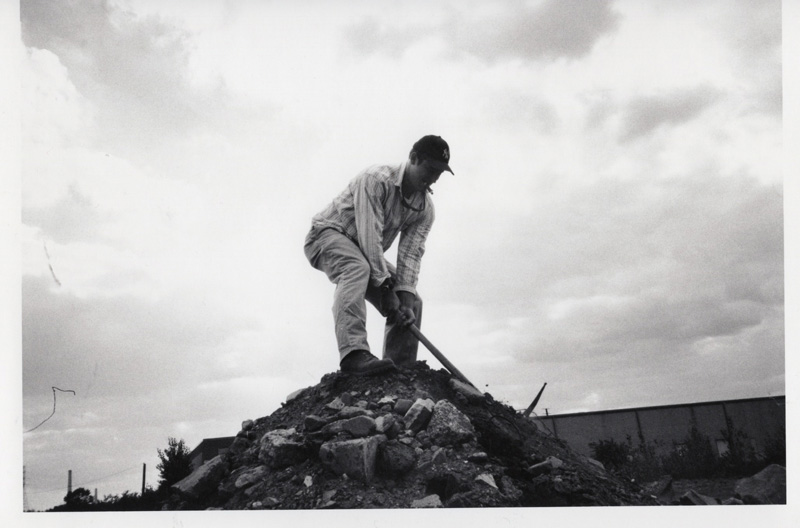
David digging up chunks of the old Penn Station,

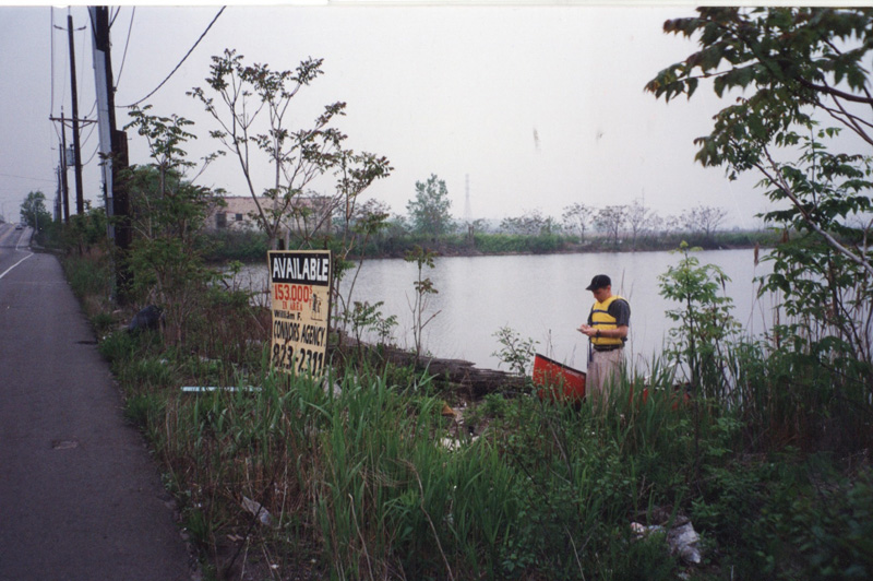
Robert taking notes,

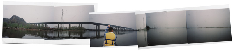
and David’s collage that looked like it could have been made 20 years ago or yesterday.

Facade

with Constance Hockaday and Faye Driscoll

July 20, 2018

It felt a little crazy to load up the boat after midnight, lower it down the bank next to a moving train,

and paddle by moonlight out to Bannerman Castle.

The tide carried us north, along with something bioluminescent from the sea.

We scouted along the bank and set up our tents in the dark.

All night I could hear creatures moving through the grass by my tent,

and water lapping at the side of the boat.

The tide had come in so high, it almost carried off our supplies.

Constance made breakfast,

and we set off to explore the ruins.

Bannerman Castle was built at the turn of the century by a surplus ammunition dealer.

The strange anachronistic facade of the armory was like a billboard for his business, meant to be seen from the train.

The island is owned by New York State Parks and the Bannerman’s Castle Trust recently renovated the grounds for guided tours.

The new park is great, with plenty of trails and overlooks so that you can properly contemplate the architectural folly.

We were not part of an official tour, “so no pirouettes on top of the castle,” I had said the night before.

“What about a grand jeté fouetté?” asked Faye.

The island is surrounded by a decorative breakwater and turrets that make the castle look much larger, and half underwater.

Constance came here in 2008 when she piloted one of the Swimming Cities barges on their 3 week journey down the Hudson River.

I like hearing her stories from that trip and many others, of being a female captain, and much younger than her crew.

Connie grew up in South Texas with a marine biologist dad, and the Floating Neutrinos, who landed in her town and took teenage Connie under their wing.

Her artwork takes place in the intertidal, interstitial, riparian zone, and each project seems to show how having fun in those spaces can give people agency.

Enjoyment seems almost contradictory to most relational work, but with Connie’s projects, it’s how we restructure value around urban waterways.

My favorite place in the Hudson is a beach just north of Bannerman Island. I camped here alone on my trip down the Erie Canal in 2016.

“I should bring some friends back here some day.” I thought.

“Our boyband,” said Constance.

Connie and Faye invented some new swimming moves.

It was nice to be out in the boat with Faye, an accomplished choreographer, director, and dancer. I spend a lot of time thinking about the way the boat moves through the city, but with Faye we payed attention to the way our bodies moved in the boat.

Even when it was uncomfortable,

it was important.


Sundown

with Alisa Bones, Patrick Groth, and James Miller

July 19, 2018

Being on the Newtown Creek after 6pm, as the tide is going out, is like staying late at work when everyone is going home.

We watched the recycling barges head downstream,

it even seemed like quitting time for the rats.

“That’s the third one I’ve seen!” said James.

We paddled inside an old waste transfer station,

and imagined it as our dream house.

James and Alisa grew up in the Pacific Northwest around water, and Patrick fishes in the New York Harbor, so it was fun to compare our experiences.

We visited some of the famous Newtown Creek landmarks, like #shoppingcartshiva,

and turned around just as the sun was setting,

letting the last of the wind and the tide carry us back to Greenpoint.

“Do you ever take the boat out at night?” asked Patrick.

“I think we are about to,” I thought.

A few days later I visited Alisa in her studio.

She has been making paintings of the weird shapes that emerge out of ink pours. They seem to have all this illusion, and you look hard for an image, but the color and shape and physical properties of the paint take over.

It seems analogous to the instagram pictures she’s been posting, found images, zooming in on UFOs and other unexplained phenomenon.

We talked about how strange things seem the closer you look, and our stubborn dependence on rationalization.

“I guess it effects our perception…” I said.

“It effects our experience.” answered Alisa.

Moon Arrow

with Heidi Neilson

July 19, 2018


Heidi Neilson wanted to install her Moon Arrow project somewhere accessible by boat.

From the satellite photo, it looked like there were little islands all along the Newtown Creek, but when we got there I realized they might be too high to climb up,

too narrow for the base of the arrow,

or disappearing fast as the tide came in.

We passed Willis Elkins out in the creek on his bi-weekly water quality testing,

and saw by a beautiful billboard by the artist Rambo,

and finally came to a place that both of us agreed might work.

“We are in the T!” Said Heidi. She had seen this place on maps when she was working on her Long Island City Sundial.

Heidi got to work assembling the Moon Arrow, a kinetic sculpture, programmed to continually point at the moon from wherever she sets it up.

The night before, Heidi had installed the Arrow at Socrates Sculpture Park on a crowded movie night. Hundreds of people saw the piece and interacted during the event.

“This will be the opposite of last night,” I said, “maybe just for us.”

The main rotator unit of the Moon Arrow is made from a Lazy Susan, and the motor box seems to be sealed with packing tape. “Iterative prototyping” explains Heidi.

There is something 70’s-space-movie about the whole apparatus.

It seems like technology tries so hard to blend into our lives these days; personal electronics look more and more like candy bars or a baby bottle.

Heidi is sort of going in the opposite direction.

I knew what the Moon Arrow was suppose to do, but when it came to life, it was still quite astonishing. The arrow started moving around like a searchlight,

then became still when it found the moon, just below the horizon.

Many of Heidi’s projects point to something beyond our perception, profound, or planetary, to remind us of forces that govern our lives, even in the city.

It seemed appropriate that we were also in a fluid place. Because of the tide, our surroundings were changing with the position of the moon.

In fact, they were changing pretty quickly.

If we didn’t get back out under the LIRR bridge, the tide would trap us Dutch Kills for another 6 hours.

We paddled back to Greenpoint with the Moon Arrow all packed up in its neat silver boxes.

Science Fiction

With Birgit Rathsmann and Kira Buro

July 18, 2018

A few weeks ago, Birgit sent a map of Oyster Bay. “I would love to find out what these channels on Cedar Island are like,” she wrote,

“they look like marine crop circles to me, and I’m sure there is a sci-fi story hidden in plain sight.”

It was hard to see much from the water, the marsh was so flat it defied any topographic reckoning.

Also, we had another problem.

The tide was low, and places that looked like water on the map were actually land.

We cut a path through the marsh,

and found an island, which from the satellite photo, appeared to be sliced across with strange parallel lines.

They were hard to see at first. The surface of the island looked perfectly flat, but the ground was spongy and uneven, a porous bank of peat that changed under every step.

Could this be one of the lines?

We sent up a drone camera to see how it looked from above.

At 100 feet, something began to appear.

At 200 feet, we could see perfectly parallel lines cut evenly through the marsh.

As we panned the horizon, we could see the entire marsh, crossed with channels, about 60 feet apart and 2 feet wide.

The channels were dug in the 1930s to control mosquitos and mosquito born illness. Long Island has almost 1000 miles of trenches, mostly dug by hand by Works Progress Administration employees.

The project might not have exterminated the mosquitos, but it affected the marsh in other ways.

The trenches contain high levels of nitrates and pollutants, which funnel into tidal waterways.

At the other end of the channel, there was a bank of shells,

almost like scar tissue healing back up over a giant cut.

“How do you read the channels now that we are here?” I asked Birgit, “If they are signs, what do they mean?”

“I guess it’s not as fun to speculate when we already know a little bit about the channels.” said Birgit,

but the day was not over, and the marsh had something unusual yet in store.

We swam across to another little island,

and saw something washed up on shore,

a piece of plastic covered with soft living things.

They seemed like egg sacs, but each sac contained something completely different.

What kind of creature could lay so many different things?

Perhaps they were mutations in the shadow of a power plant.

This could be our science fiction, we thought, a thing that we know nothing about.

One Citizen’s Bridge

with Nancy Nowacek

July 17, 2018

The Coney Island Creek is one of my favorite places to go in the boat,

with its crazy combination of white sand beaches, clear deep water,

and the best beach combing in in New York City.

Nancy likes it there too.

Maybe because of her projects with marine debris, landfills, and the urban waterfront, she is particularly attuned to plastic,

and the weird interactions of objects

that make the Coney Island Creek such a pleasure to explore.

I met Nancy in 2013 when she was starting Citizen Bridge, a walkway that would connect Brooklyn to Governors Island over the Buttermilk Channel.

“It will be a new kind of connection between New Yorkers and their waterways to catalyze a positive and empowered relationship with climate change.”

It sounded so impossible when I first heard about Citizen Bridge, that I thought it was a symbol or a metaphor. I thought Nancy meant Citizen Bridge to work the way the Tide and Current Taxi works, where dysfunction plays a bigger role than practicality.

The more I got to know Nancy however, the more I realized her project was not a metaphor. She raised money, generated tons of support, and the city started paying attention.

She wrote a play about Citizen Bridge, generated prototypes of floating bridges, and made great relational artwork about connecting people to the waterfront,

but in 2016 something changed.

Working on a show at the Bronx River Art Center, Nancy was at a turning point. She had spent years engaging communities and demonstrating how the bridge could benefit other people.

“What if I am the bridge?” she thought.

She made a single floatation unit, one that was designed like the bridge, but just for her. She designed a tarp jumpsuit that attached to the unit. The uniform made me think of something between Rosie the Riveter and a futuristic sanitation worker.

Our trip to Coney Island was a chance to finally photograph the project. I took pictures of the suit and Nancy in it, and then Nancy paddling out to the Verrazano Bridge.

She told me later that staying upright on the barrels was harder than she’d imagined, but it looked perfect in the early morning calm.

The next day she sent her original diagram of the suit.

Looking at the drawings now, I feel they convey a sense of resolve. There is something so determined in the figure’s posture, her back perfectly straight and her head turned toward the viewer,

and then away.

Sign Spotting

with Anne Thompson

July 12, 2018

In 2014, Anne Thompson started curating artwork on billboards along 1-70 in Missouri. One of her favorite things about the I-70 Sign Show are the weird circuitous paths necessary to see the billboards up close. (Marilyn Minter, “Big Sigh,” 2015, Foristell, MO ). 

The side of the interstate is an unusual place to hang out … (I-70 Sign Show public event, Columbia, MO. Billboard artwork: Karl Haendel, “Plow Pose,” 2015)

… and getting there is never straightforward. (Billboard artwork: Ken Lum, “Bindy Sangeet: Employee of the Month / Alia Naffouj: Hooked on Tennis,” 2015)

Anne also spent a year documenting the hundreds of ordinary I-70 billboards between St. Louis and Kansas City, so for the Tide and Current Taxi, she proposed taking a trip to signs around the harbor “It would be a kind of dérive, were we travel TO the sign rather than to the place its telling us to go.”

We decided on Flushing Bay, the body of water that surrounds Laguardia Airport, then it winds into Queens along highway 678.

There were plenty of signs to guide us on a dérive,

but I was also drawn by the memory of a wreck that I explored with Elizabeth Albert back in 2012.

We paddled through a hole in her side to examine the collapsing structure.

I remember thinking back in 2012, that someone was trying to make a crazy floating nightclub.

The dance floor had completely rusted away and now the vessel was stuck to the bottom of the harbor.

The tide washed in and out, filling up the barge like evening guests.

“Why is it still here?” asked Anne, “Why not haul it out and throw it away?”

Maybe the owner still has hopes, I thought.

Back out in the bay, we traveled to the next sign.

There were signs meant for us,

and ones meant for the highway that surrounded us.

There were even signs on the undersides of planes.

Some of the signs were inscrutable, filled with complex and important information.

Our favorite signs were the ones meant to interact with the water,

instruments of measure, where the water itself provided meaning.

Further in, Flushing Bay roared with activity.

On either bank, earth was being sorted, piled,

and loaded onto barges in a cacophony of sound and dust,

a perfect spot for lunch.

We let ourselves be drawn from sign to sign.

Being with Anne, and her idea for this trip, made me realize how many things in the landscape are written on.

I thought it would be hard to disconnect my need for interpretation, but most signs in the landscape seemed to have outlived their readability.

We came to a place between two signs,

that reminded me of J.G. Ballard’s concrete island,

where a character crashes off the highway and is stranded there for months.

He comes across a group of people living there,

and falls in love.

We crossed under highway 678,

and came to the most amazing place of all, a pool of water surrounded on all sides by signs.

We had been traveling from point to point, drawn by signs,

and now all signs pointed directly at us, we drifted at the center.

Later that day, back at the car, I still kept taking pictures of signs.

“Once you start seeing this stuff, its hard to stop.” said Anne.

↑ Return to Top of Page ↑