Sometimes the best way to use a map,
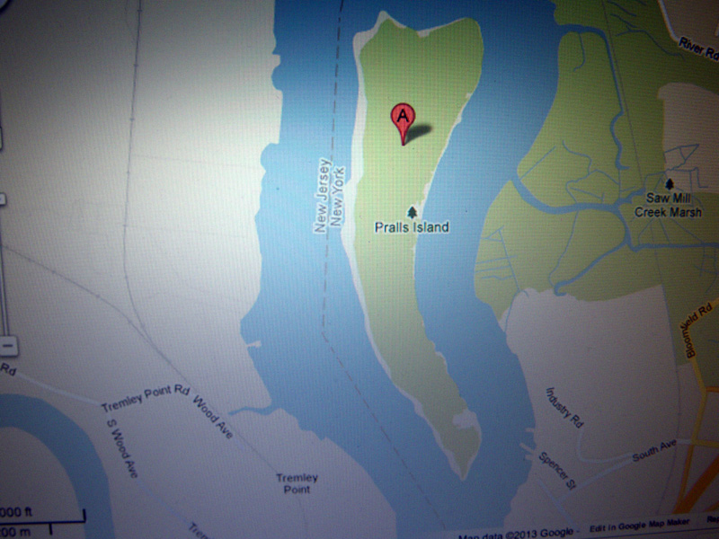
is just to find a place on it you’ve never been,
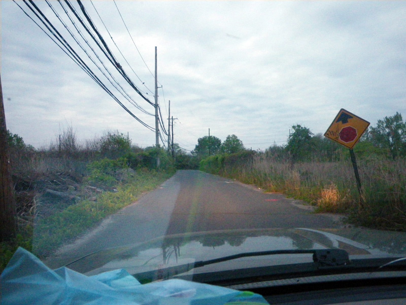
and try to get there.
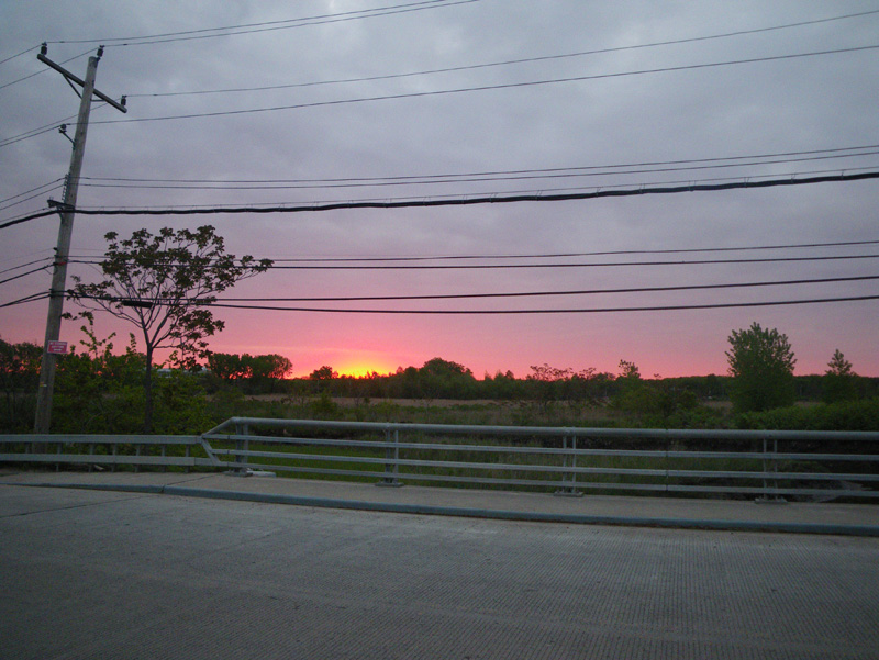
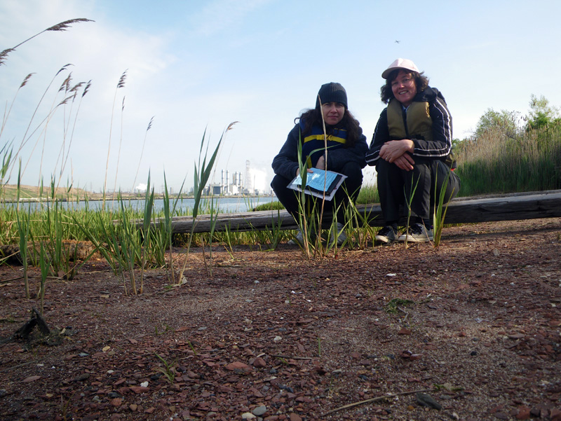
At least that’s what Ellie Ga and I decided,
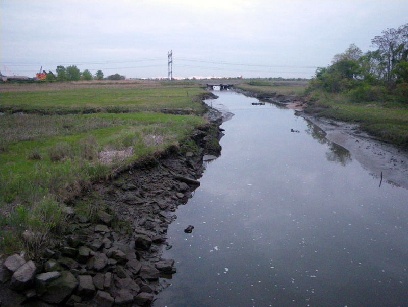
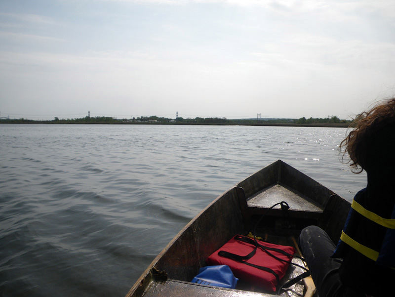
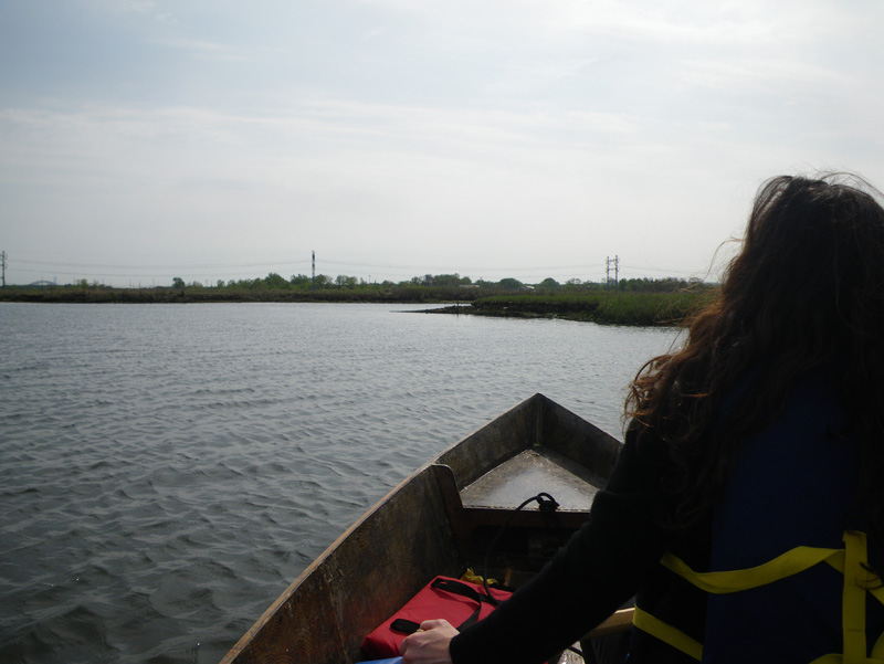
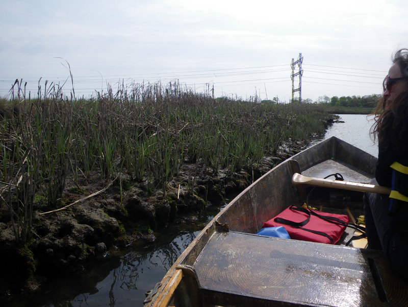
and that was how we ended up in the Saw Mill Creek, headed out to Prall’s Island.
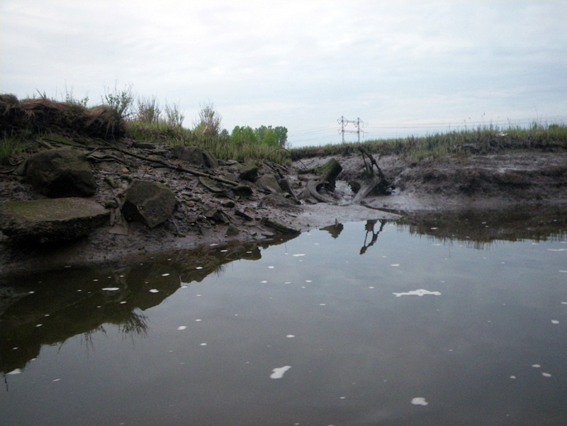
Ellie grew up in Staten Island, and I had never been to Prall’s.
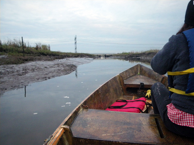
“It will be a day of firsts.” said Ellie.
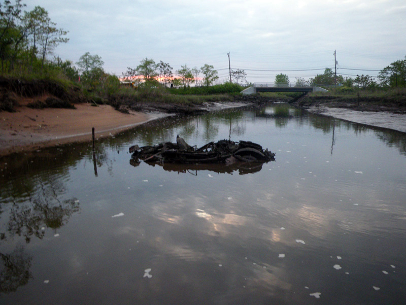
Prall’s Island is not exactly an unknown land.
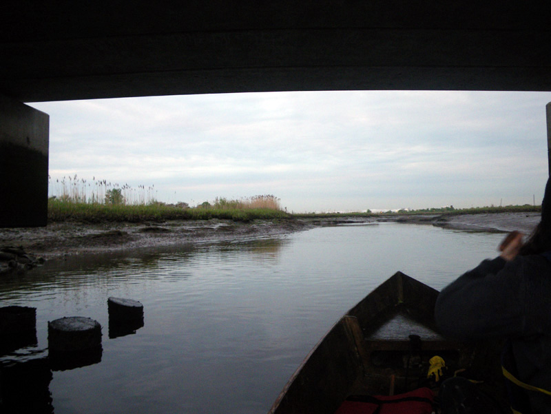
The very land itself is manmade, formed partly out of earth lifted from the shipping channel,
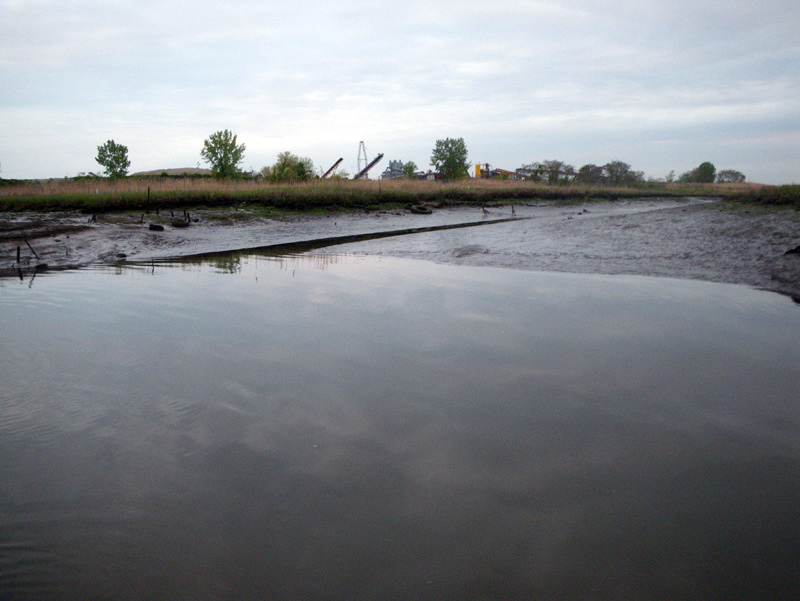
but at 5:30 am on a Wedensday morning,
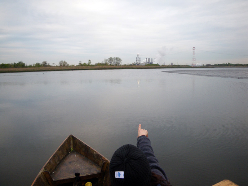
with all the signs of industrial civilization just a thread on the horizon,
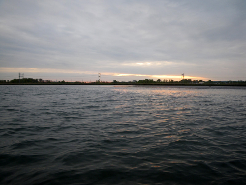
it was as ‘terra incognita’ as you can get in New York City.
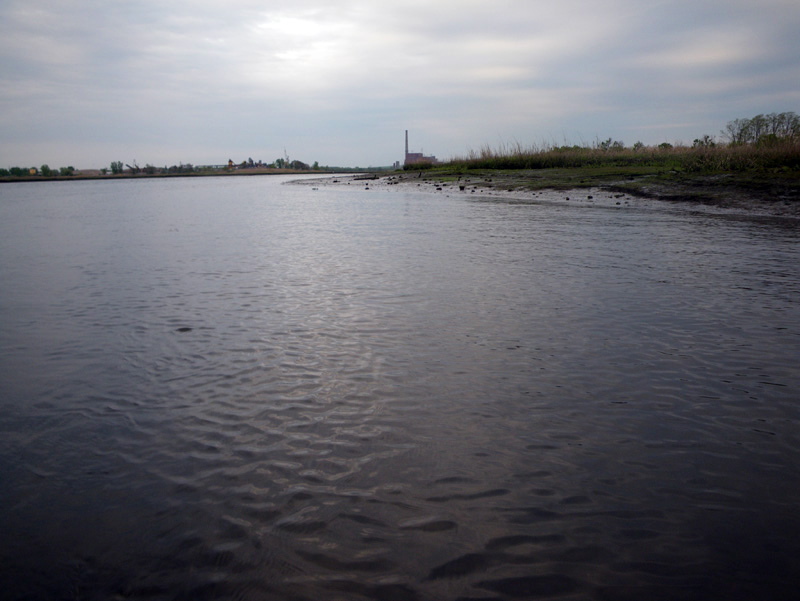
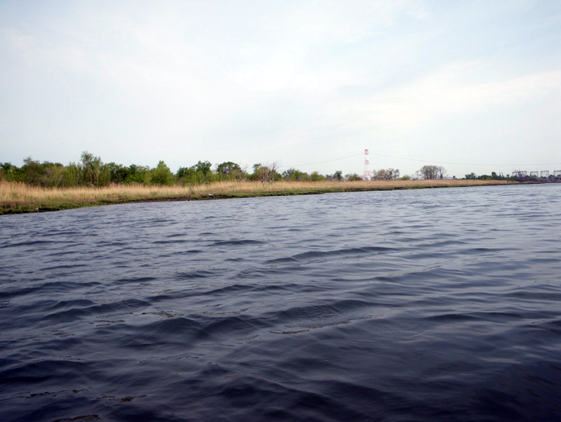
Prall’s is a long uninhabited strip of land, about 200 yards from either shore of the Arthur Kill waterway.
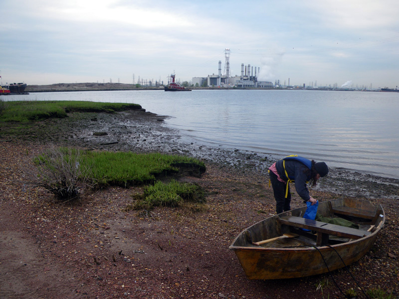
We landed on its northern tip and got ready to walk along the perimeter.
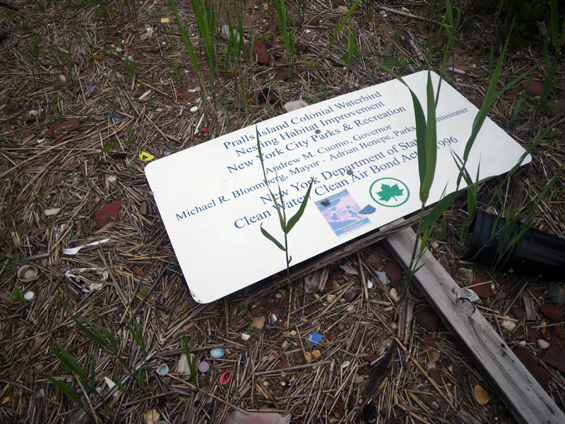
The whole island must have been under water at some point during Hurricane Sandy,
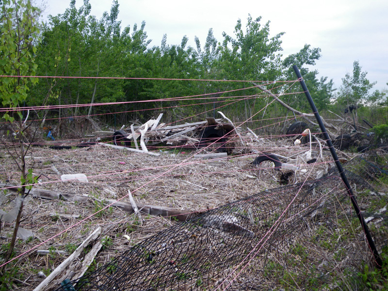
and we saw evidence of scientific regeneration projects that had been torn apart by the tidal surge.
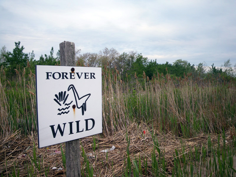
The one sign left standing seemed to wistfully foretell the island’s fate; a wildness beyond the bounds of human protection.
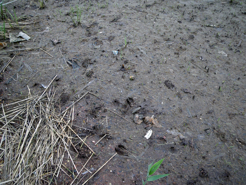
Deer tracks covered the island,
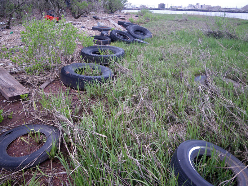
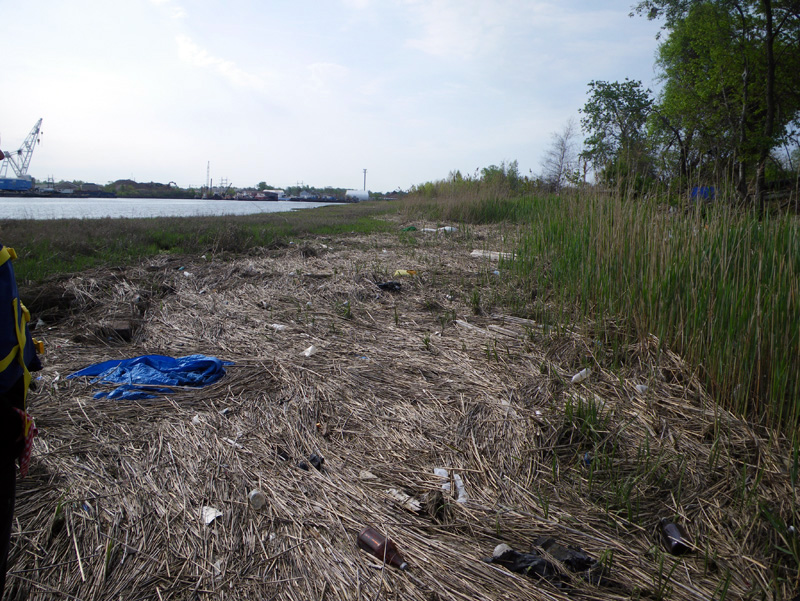
and as we walked along, we tried to make sense of the various human debris.
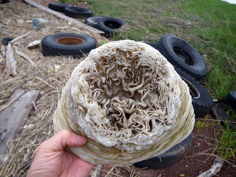
It was mostly plastic,
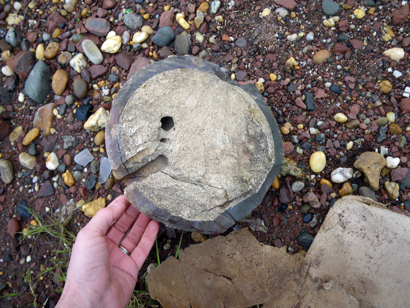
and half of a bowling ball,
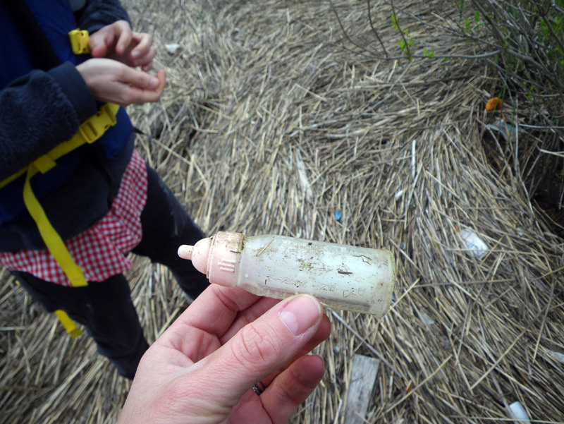
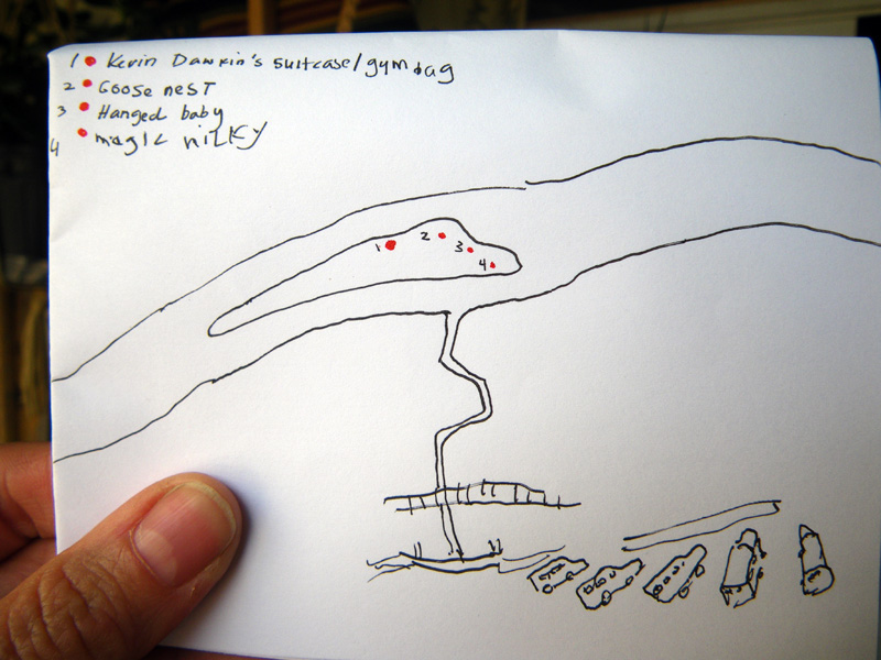
and ‘Magic Milky’,
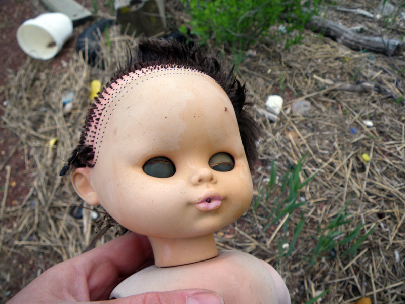
the doll that appears to drink milk from a tiny baby bottle.
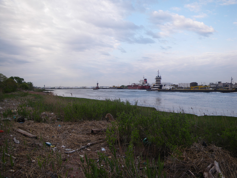
The shipping channel side was getting busy,
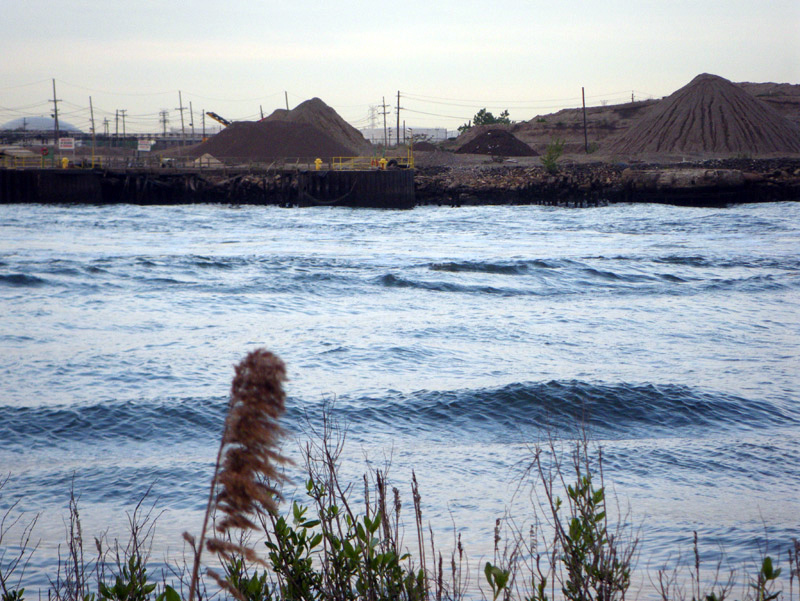
it was rush hour in the Arthur Kill.
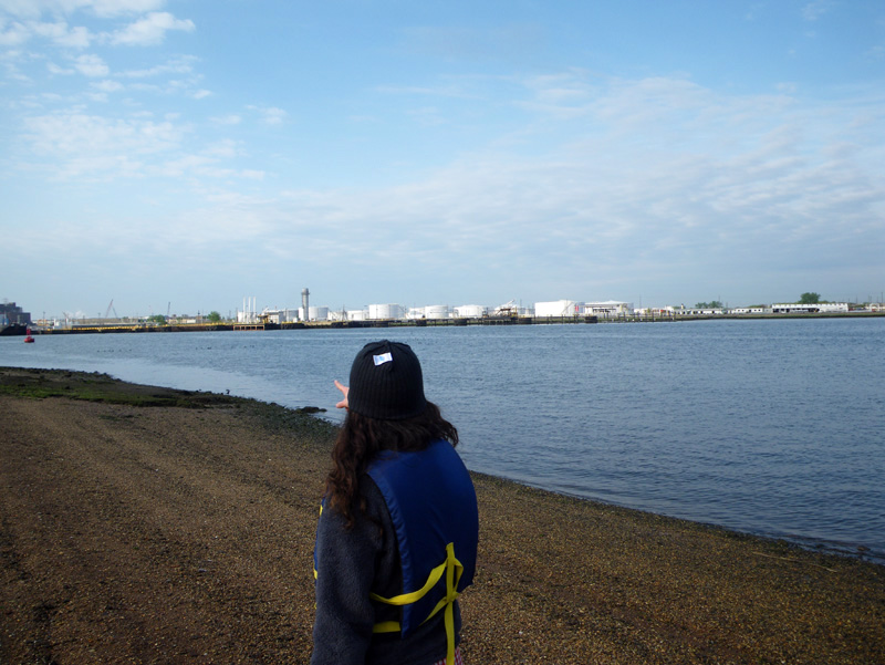
Ellie pointed out landmarks from her childhood,

like the NRG Power Plant along Shore Parkway.
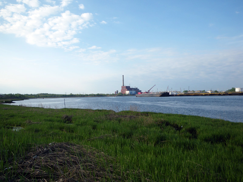
She used to think it was a giant movie theater.
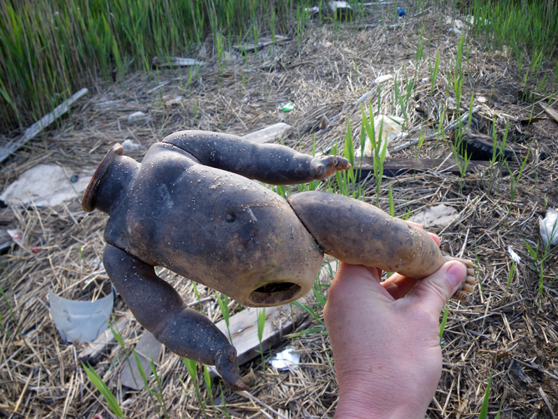
The island seemed to be filled with baby dolls of various makes and models,
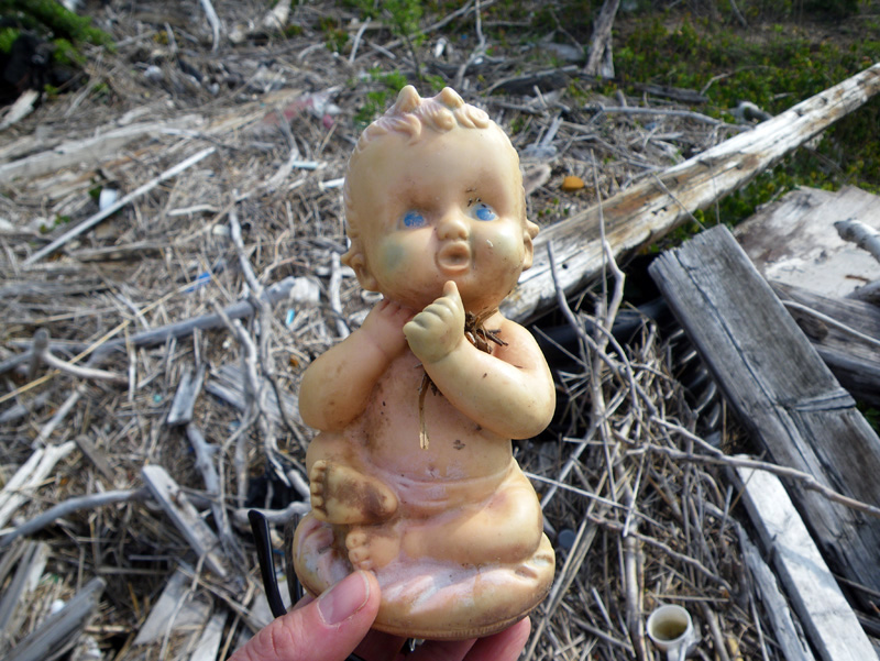
more or less ready for play,
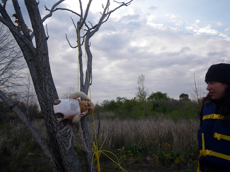
like this one hung ominously in a tree.
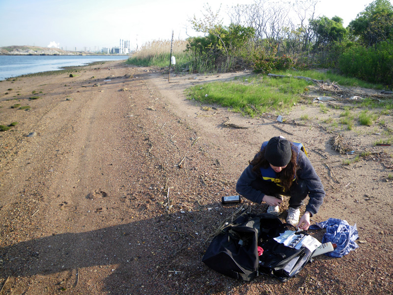
We came across a mysterious bag,
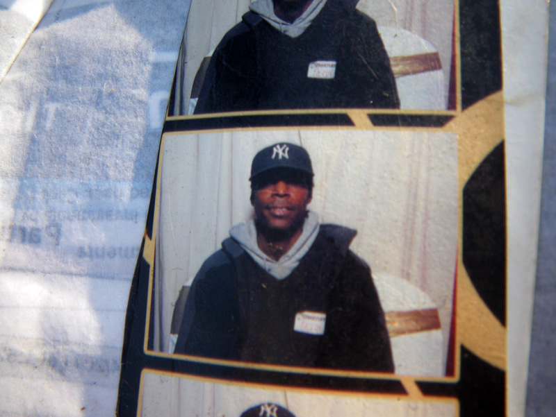
containing the personal effects of a New Jersey resident,
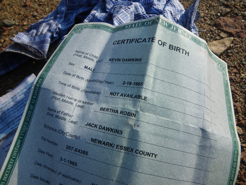
and we decided to try and send him back his stuff.
We thought maybe he had been separated from his bag during Hurricane Sandy,
but a letter dated November 4th disproved this theory.
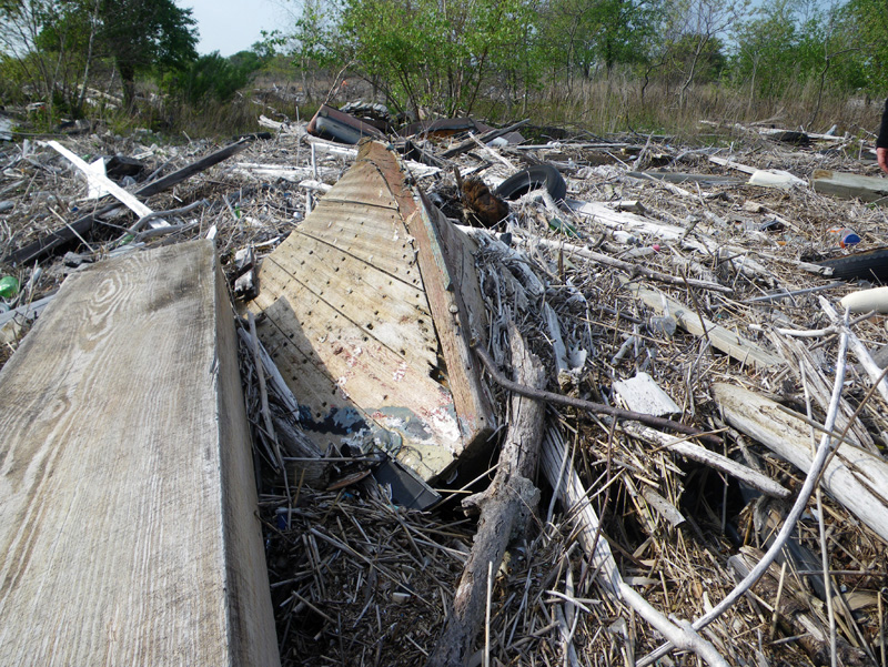
There was plenty of stuff that had been delivered during Sandy though.
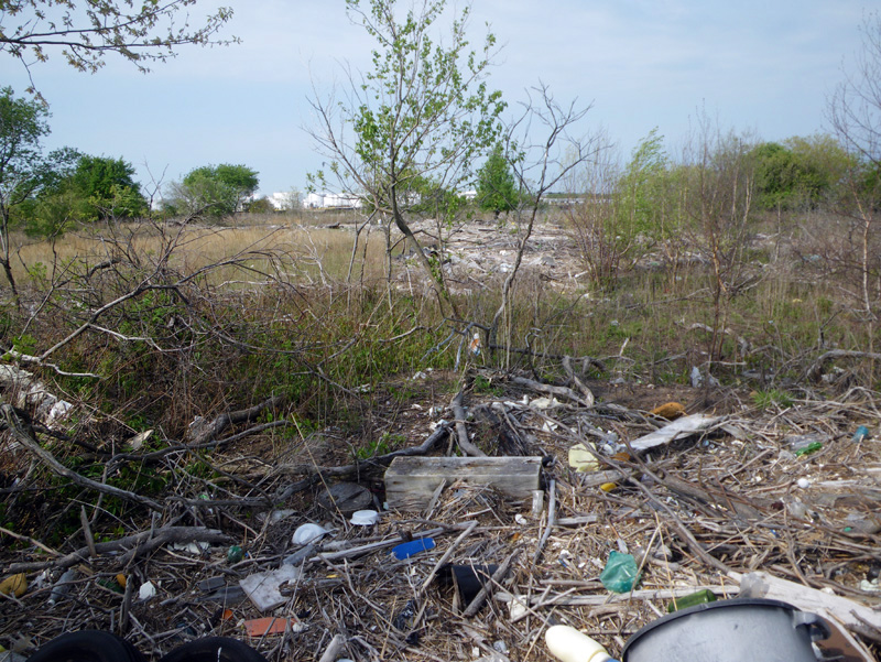
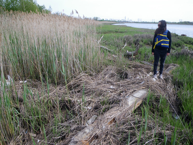
A bank of debris and phragmites stalk stretched across the width of the entire island.
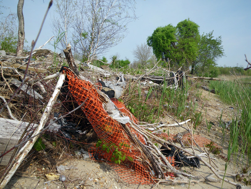
The floating stalk had absorbed so much junk, we were astonished at the dense volume of floating things.
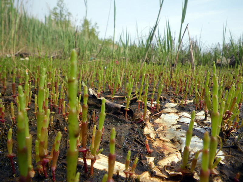
If you looked closely at the ground, you could see new shoots of green plants coming up in the spring sun.
“What do you think our map should be about?” I asked Ellie.
“I don’t know,” she said, “it seems like it could be about the misinterpretation of evidence,”
“like how we assumed that Kevin had lost his bag during Hurricane Sandy,”
“but then we realized that it happened a few days after.”
The tide was coming in,
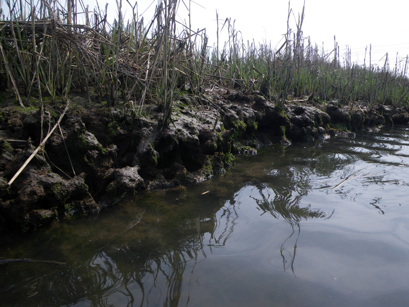
and you could hear the living bank of the Saw Mill Creek soaking up the water.
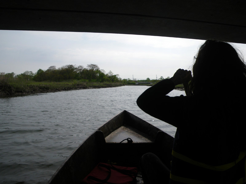
We paddled back to the truck.
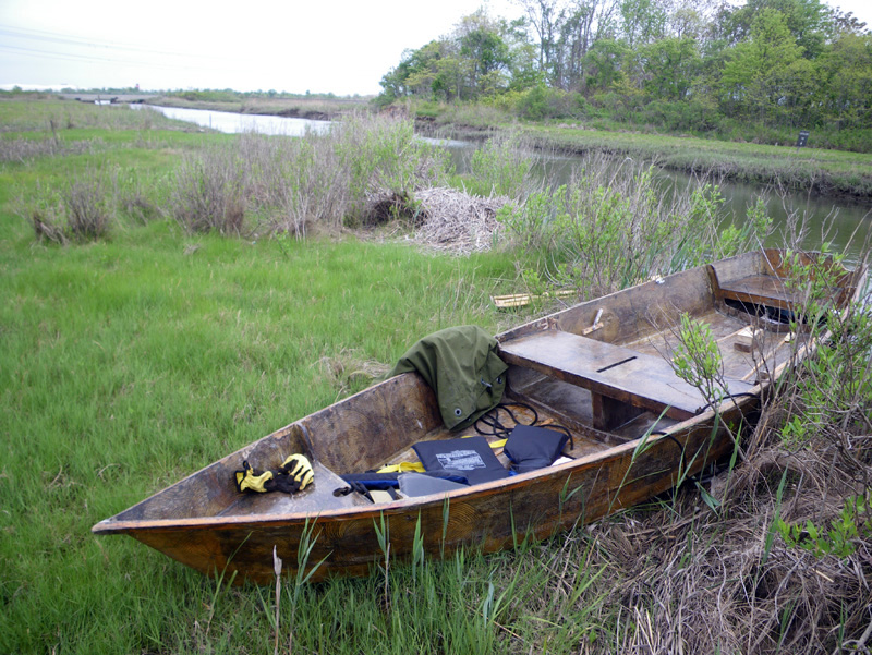
“The Saw Mill Creek Park really is a park, and we used it like a park.” said Ellie.
She was refering to this Parks and Rec sign that we had seen earlier, which had proved that we were not in a ‘terra incognita’ at all, but in a public recreational area.
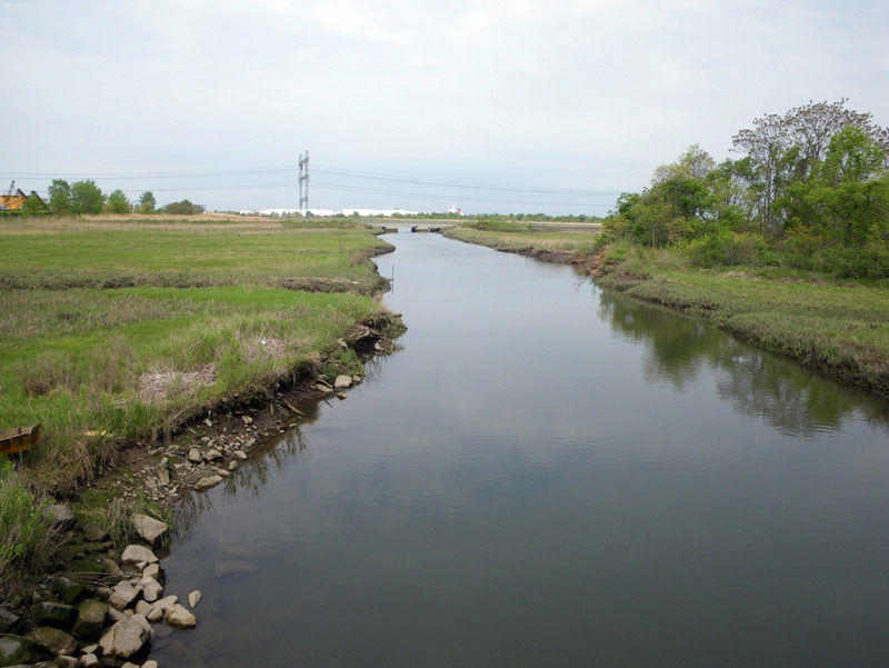
But maybe at the heart of every known land lies a little uncertainty, something left to interpretation and discovery,
Maybe that is the whole idea of parks.
↑ Return to Top of Page ↑